• HOME
  • NEWS
  • EXPLORE
    • CAREER
      • Companies
      • Jobs
    • EVENTS
    • iGEM
      • News
      • Team
    • PHOTOS
    • VIDEO
    • WIKI
  • BLOG
  • COMMUNITY
    • FACEBOOK
    • INSTAGRAM
    • TWITTER
Tuesday, September 9, 2025
BIOENGINEER.ORG
No Result
View All Result
  • Login
  • HOME
  • NEWS
  • EXPLORE
    • CAREER
      • Companies
      • Jobs
        • Lecturer
        • PhD Studentship
        • Postdoc
        • Research Assistant
    • EVENTS
    • iGEM
      • News
      • Team
    • PHOTOS
    • VIDEO
    • WIKI
  • BLOG
  • COMMUNITY
    • FACEBOOK
    • INSTAGRAM
    • TWITTER
No Result
View All Result
Bioengineer.org
No Result
View All Result
Home NEWS Science News

New US Army software rapidly converts live drone video into 2D and 3D maps

Bioengineer by Bioengineer
November 15, 2019
in Science News
Reading Time: 2 mins read
0
IMAGE
Share on FacebookShare on TwitterShare on LinkedinShare on RedditShare on Telegram

Software-only solution creates maps in a matter of minutes, allowing locally collected video to be processed into immediately usable geospatial products that can be fed into other mapping applications like Google Earth, ArcGIS

IMAGE

Credit: Stephen Baack/Army

A scientist in Virginia has built software for the Army Corps of Engineers that turns streaming drone footage into 2D and 3D maps.

Dr. Richard ‘Ricky’ Massaro, from the Corps’ Geospatial Research Laboratory, designed a computational algorithm to convert full-motion videos from small drones into image files, extract the metadata, and produce accurate 2D and 3D geospatial images in real-time, according to the Army’s U.S. patent application published on Thursday.

The invention uses sophisticated photogrammetry — the science of making measurements from photographs and for recovering the exact positions of surface points — to build the images.

“It currently is not possible to produce accurate 3D models in real-time, on a consistent basis, because of limitations inherent in the frame selection process. Frame selection is [a] costly and time-consuming process that is currently performed by manually by human technicians, according to the new patent application.

The “system includes multiple virtual processing components which perform data parsing processes, metadata extraction processes, data interpolation processes and filtering processes using data collected from other virtual processing components.”

The invention has particular relevance for the U.S. military, which has an abundant supply of small drones and a need for accurate maps and models, but the technology has a strong potential to break into the commercial sector as well, where mapping markets for farmers, firefighters, local governments, and hunters are growing.

Business Opportunity

The Army’s software complements commercially available hardware (mast-mounted or airborne LiDAR systems) and software (RaptorX, Google Earth, ArcGIS) used for mapping.

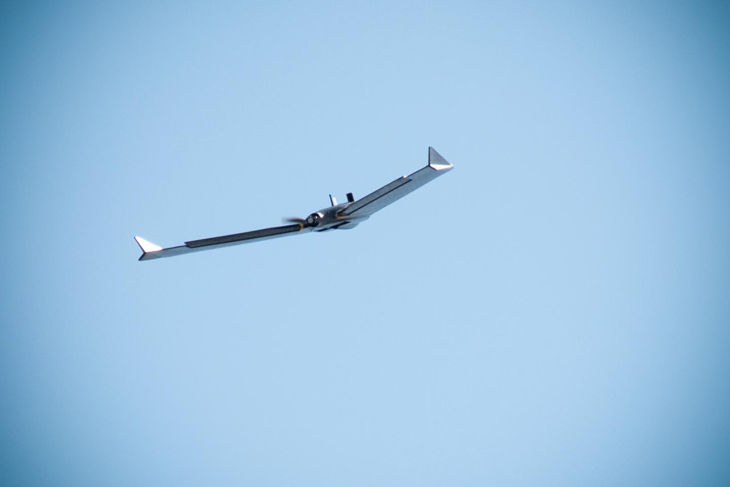
In an early test of the technology with the 101st Airborne Division, video footage from a senseFly eBee drone was used to map a six-kilometer area that included a mock city at Fort Campbell, Kentucky. It was also deployed to Iraq and used for base defense and planning.

As the Department of Defense’s national partnership intermediary for technology transfer, TechLink is helping private companies evaluate the conversion system and negotiate mutually beneficial business agreements, such as a commercial evaluation license or patent license.

Quinton King, senior technology manager at TechLink, said that the invention has obvious advantages that make it prime for technology transfer.

“Whether it’s for soldiers or farmers, this tech delivers usable terrain and intelligence products fast,” King said. “And I’m happy to help companies learn how they can leverage Dr. Massaro’s work for their own products or applications.”

###

Media Contact
Troy Carter
[email protected]
406-994-7798

Original Source

https://techlinkcenter.org/new-us-army-software-rapidly-converts-live-drone-video-into-2d-and-3d-maps/

Tags: Algorithms/ModelsCivil EngineeringGeographyResearch/DevelopmentSoftware EngineeringTechnology TransferTechnology/Engineering/Computer Science
Share12Tweet8Share2ShareShareShare2

Related Posts

Allicin-Silver Nanoparticle Hydrogel: A Breakthrough in Wound Healing

Allicin-Silver Nanoparticle Hydrogel: A Breakthrough in Wound Healing

September 9, 2025

Addressing Therapeutic Inertia in U.S. Diabetes Care

September 9, 2025

Distinguishing Thyroid Nodules: Risk Factors and Ultrasound Insights

September 9, 2025

Parasite Infection Alters Rat Blood and Tissue Health

September 9, 2025
Please login to join discussion

POPULAR NEWS

  • blank

    Breakthrough in Computer Hardware Advances Solves Complex Optimization Challenges

    151 shares
    Share 60 Tweet 38
  • New Drug Formulation Transforms Intravenous Treatments into Rapid Injections

    116 shares
    Share 46 Tweet 29
  • First Confirmed Human Mpox Clade Ib Case China

    56 shares
    Share 22 Tweet 14
  • A Laser-Free Alternative to LASIK: Exploring New Vision Correction Methods

    48 shares
    Share 19 Tweet 12

About

We bring you the latest biotechnology news from best research centers and universities around the world. Check our website.

Follow us

Recent News

Allicin-Silver Nanoparticle Hydrogel: A Breakthrough in Wound Healing

Addressing Therapeutic Inertia in U.S. Diabetes Care

Distinguishing Thyroid Nodules: Risk Factors and Ultrasound Insights

  • Contact Us

Bioengineer.org © Copyright 2023 All Rights Reserved.

Welcome Back!

Login to your account below

Forgotten Password?

Retrieve your password

Please enter your username or email address to reset your password.

Log In
No Result
View All Result
  • Homepages
    • Home Page 1
    • Home Page 2
  • News
  • National
  • Business
  • Health
  • Lifestyle
  • Science

Bioengineer.org © Copyright 2023 All Rights Reserved.