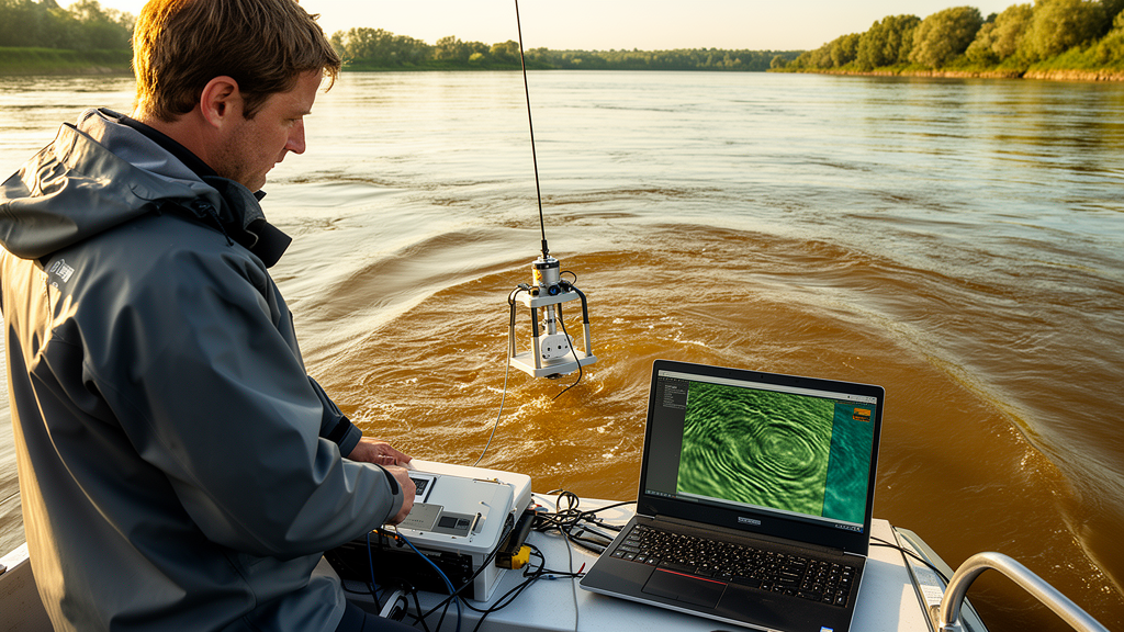
River engineers and scientists now have a new weapon for studying the hidden landscapes at the bottom of large sand-bed rivers. A team at the University of Missouri-Kansas City and the U.S. Army Corps of Engineers has released Bedform Finder, an open-source software application that automatically identifies and quantifies bedforms such as sand dunes from large multibeam bathymetric datasets.
Bedforms are dominant features in rivers like the Missouri and the Mississippi. Over the last few decades, advances in multibeam sonar systems have made it possible to map river bathymetry at previously unprecedented scales, and the adoption of this technology by researchers and river managers has produced rapidly expanding survey databases. The eHydro online repository, managed by the U.S. Army Corps of Engineers, has become a valuable store of bathymetric data in the United States, with more than 100,000 surveys available as of May 2026. Until now, however, turning that mountain of raw sonar data into usable bedform statistics has been a bottleneck.
Several open-source tools already exist for analyzing bedforms from bathymetric data, but the authors note that these primarily focus on individual surveys. A key remaining gap has been a standardized import and processing pipeline for rapidly handling many surveys at once. Preliminary work by Free and colleagues had demonstrated an approach for large-scale analysis of hundreds of bathymetric surveys on the Lower Missouri River, but that earlier software was not streamlined and required toolboxes in several languages, including ArcGIS, MATLAB and Python. Bedform Finder addresses that gap holistically, consolidating the entire workflow into a single MATLAB-based package with a graphical user interface.
The software streamlines data download from eHydro, data formatting and coordinate system transformation, piecewise extraction of bedforms, statistical analysis, data visualization and batch processing of numerous surveys. Although it was designed to leverage eHydro data, it remains flexible enough to accept user-supplied bathymetry from other sources in .XYZ, .CSV, .TXT, .MAT and .XLSX formats. Because MATLAB is proprietary, the developers also distribute a compiled standalone executable for Windows 10 and Windows 11, so users do not need a MATLAB license. The source code itself is publicly available under an MIT license, with a reproducible capsule archived on Zenodo, to encourage future improvements to the core analysis methods.
Technically, Bedform Finder requires two inputs: bathymetric data containing measured depths or elevations, and a river line following the dominant flow path. The eHydro tool queries the repository for available surveys within a rectangular geographic region of the United States and a specified date range, then downloads and projects the data to the USA Contiguous Albers Equal Area projection. The processing engine extracts adjacent bed elevation profiles parallel to the river line at constant offsets using curvilinear coordinates, identifies bedforms with a wavelet-based high-pass filter, and then applies peak and trough detection using the MATLAB findpeaks function. Two user parameters drive the detection: a prominence threshold, roughly analogous to a minimum bedform height, and a threshold wavelength for the high-pass filter, which should be set a few times larger than the largest bedform lengths in the reach.
The identified bedforms are summarized by location, bedform height, bedform length and bedform steepness, the ratio of height to length. Results can be exported in .MAT, .JSON and .HDF5 formats, each chosen for particular advantages such as speed, human readability or open-source compatibility. A batch processor distributes individual surveys among parallel workers for computational speedup, while a grouping tool combines outputs from surveys collected on different dates or river reaches, enabling temporal and spatial comparisons. Visualization panels plot raw bathymetry, identified bedform peaks over data rasters, histograms and colormaps of bedform dimensions, and relations between bedform statistics and flow depth.
Quality control remains partly manual by design. A masker tool lets users draw polygons around erroneous regions, such as data gaps, sand bars or scour holes, and remove them from the analysis. In an example Missouri River survey, the authors found local scour holes near three wing dikes used for river training; engineering judgment based on peak plots determined that no bedforms existed in those zones, and the masker tool removed them easily. A line creation tool likewise lets users draw a reference line directly on top of the raw bathymetry raster when the built-in Missouri River sailing line is not appropriate. The developers caution that the profile-based approach works best when bedforms are primarily two-dimensional and aligned perpendicular to the analysis line, and that accuracy may suffer in highly curving meander bends, near channel constrictions or in recirculation zones where crests deviate from the flow direction.
The software also does not separate multiple scales of superimposed bedforms, which are known to occur in sand-bed rivers. In the Missouri River data analyzed in the team’s earlier work, clear evidence of multiple visible bedform scales appeared in only 10 percent of 428 surveys, and the prominence-based detection tends to identify the smaller scale when they coexist. Performance testing on a Dell XPS 17 laptop showed that downloading 100 Missouri River surveys from eHydro took about 11 minutes and 37 seconds, while batch processing them at 1-meter profile offsets took 47 minutes and 26 seconds on a single worker and 13 minutes and 23 seconds with 8 parallel workers, a 3.4-fold speedup. The authors offer a simple reference metric of about 2.06 seconds of processing time per kilometer of river length per hundred meters of channel width, while noting that scaling was not formally tested and nonlinearities should be expected.
The potential scientific payoff is considerable. Nearly a decade ago, Bradley and Venditti compiled all prior known field-scale bedform observations with river-reach-scale information, assembling 382 observations from 23 rivers worldwide reported in 24 studies between 1962 and 2017, still the most comprehensive meta-analysis dataset of its kind. Querying eHydro for the Missouri River between January 1, 2020 and December 31, 2025 reveals 1,283 multibeam surveys available for bedform analysis, meaning that a single river could supply three times more surveys than that entire global compilation. The authors anticipate that rapid processing could expand the number of reliable bedform data points by at least threefold and possibly by an order of magnitude, opening new possibilities for data-driven analyses of how bedform characteristics depend on hydraulic and sediment variables.
The developers expect Bedform Finder to become a regular tool for U.S. Army Corps of Engineers districts in river condition and navigation assessment, and its spatial mapping capabilities may advance understanding of bedform spatial variability and organization, which remains minimally explored. Earlier analysis of 428 Missouri River surveys showed that bedform probability distributions exhibit positive skew and heavy upper tails and are well approximated by the lognormal distribution, facilitating prediction of extreme bedform dimensions. Default parameters in the software, a prominence of 0.0675 meters and a wavelet filter threshold of 100 meters, correspond to values tuned for the Missouri River and should be re-evaluated by users on new rivers and reaches.
Subject of Research: An open-source software tool for automated identification and quantification of river bedforms from large multibeam bathymetric datasets
Article Title: Bedform Finder: An open-source application for bedform identification and quantification from large multibeam bathymetric datasets
Article References: Free, M. R., Wyssmann, M. A., Otero, W., Mansfield, M. P., & Shelley, J. E. (2026). Bedform Finder: An open-source application for bedform identification and quantification from large multibeam bathymetric datasets. SoftwareX, 36, Article 103179. https://doi.org/10.1016/j.softx.2026.103179
Image Credits: AI Generated
DOI: 10.1016/j.softx.2026.103179
Keywords: bedforms, sand dunes, multibeam sonar, bathymetry, rivers, open-source software, Missouri River, eHydro, sediment transport, river engineering, MATLAB, fluvial geomorphology
News Source: Denise Maddox. (October 30, 2026). New Open-Source Tool Maps River Sand Dunes Across Thousands of Sonar Surveys. Scienmag.