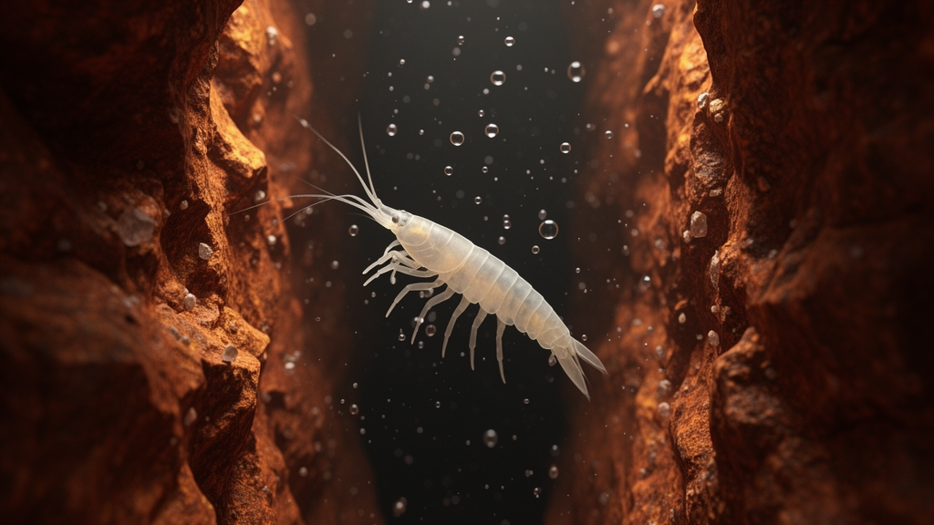
Beneath the rugged red ranges of Western Australia’s Pilbara lies a hidden world of tiny crustaceans that most people will never see. Groundwater amphipods, small shrimp-like animals confined to aquifers, are under growing pressure from iron ore mining, particularly from the extraction of groundwater needed to lower water tables and expose ore deposits. A new study published in Subterranean Biology has tackled a deceptively difficult question: how can scientists predict where these cryptic underground animals live when many of them have never even been formally named? Using machine learning and thousands of borehole records, researchers modelled amphipod distributions across the Hamersley Range at three taxonomic levels at once, from the entire order Amphipoda down to a single provisional species, and the results offer a fresh geospatial perspective for conservation planning in one of the world’s most important iron ore provinces.
The stakes are considerable. Western Australia has historically ranked as the third largest iron ore producer globally, contributing roughly 17 percent of world supply, with more than 95 percent of that coming from the Pilbara. Ore extraction relies primarily on open-pit mining, which often requires significant lowering of groundwater levels to access deposits. Western Australia’s Environment Protection Authority acknowledges the potential risk this poses to groundwater invertebrate communities, known as stygofauna, and requires mining proponents to evaluate impacts on these animals as part of the environmental impact assessment process. Yet the current lack of knowledge about where stygofauna species actually live has contributed to high uncertainty in environmental decisions, resulting in delayed project approvals and more stringent regulatory conditions. A key knowledge gap is the habitat requirements of these species, which the new study set out to address with quantitative rigour.
Amphipods make up much of the stygofaunal crustacean communities in Australian groundwater ecosystems, with an estimated 12 percent of the global freshwater amphipod fauna found on the continent. Much of the Pilbara’s diversity was revealed by environmental surveys linked to mining, which provide aquifer access through exploration drill holes. In the Pilbara and nearby regions, four amphipod families and 35 species have been documented, including Bogidiellidae, Eriopisidae, Hadziidae and Paramelitidae; only Paramelitidae and Eriopisidae occur in the study region. These animals lack a pelagic larval stage, leading to limited dispersal, reduced gene flow between populations and high local endemism. Their small size and confinement to isolated freshwater systems further restrict movement, making them highly vulnerable to local habitat disturbances such as groundwater drawdown.
Estimating amphipod distributions is challenging for a fundamental reason: coarse taxonomic resolution. Identifying species requires detailed morphological and molecular analyses, many Australian freshwater amphipods remain undescribed, and many morphologically similar populations turn out to be distinct species. As a result, species diversity and distribution are likely underestimated. Rather than treating this as an obstacle, the researchers turned it into an experiment. They compared distribution models built at three nested taxonomic levels: all amphipods at the order level, the family Paramelitidae, which comprised 92.2 percent of filtered amphipod records, and the provisional species Paramelitidae sp. B08, which accounted for 40.36 percent of filtered family records. Because higher taxonomic datasets aggregate lower-level records, similarities in model performance may partly reflect shared occurrence data, a caveat the authors handled explicitly in their interpretation.
The study area covered 11,560 square kilometres of the Hamersley Range between the Robe River and Fortescue River drainages, encompassing a high density of sampling sites accessed primarily through mining boreholes. The original database contained 5,776 presence and absence records from multiple sampling events and 122 environmental predictor variables with a pixel size of 0.0025 degrees, characterising local climatic, geological, soil, hydrological and terrain conditions. After a careful filtering process that removed overlapping records, raster artifacts, near-zero variance variables and highly correlated predictors, the final modelling dataset was reduced to 999 sampling sites and 31 variables. Amphipods were present at 180 of these sites, Paramelitidae at 166, and Paramelitidae sp. B08 at 67.
The researchers first evaluated generalized linear models, linear discriminant analysis, neural networks and Random Forest, selecting Random Forest as the classification method based on its superior evaluation metrics. Random Forest is an ensemble machine learning method that builds many decision trees, each trained on a bootstrap sample of the original data rows sampled with replacement. During prediction, every tree casts a vote for presence or absence, and the majority vote determines the final classification. Bootstrap sampling and random variable selection reduce overfitting and improve stability, enabling the algorithm to model complex, non-linear patterns in sparse ecological data. The dataset was divided into training, testing and validation portions of 50, 30 and 20 percent respectively, and the mtry parameter, which controls how many predictor variables are randomly tested at each split, was tuned across values from 2 to 26. Models were built with 1,000 trees, and stratified sampling ensured that presence and absence classes were represented proportionally despite the strong class imbalance.
Performance evaluation revealed a striking trade-off. The order-level Amphipoda model achieved the highest overall accuracy at 80.4 percent, compared with 68.3 percent for the family-level Paramelitidae model and 69.8 percent for the species-level B08 model. But the species model achieved perfect sensitivity of 100 percent, meaning it missed no true presences, compared with 84.9 percent for the family model and 77.8 percent for the order model. The species model also achieved the highest balanced accuracy at 83.87 percent. In practical terms, when detecting species presence is the priority over correctly identifying absences, the finer-resolution model may be more appropriate. The Matthews correlation coefficient, which considers all four elements of the confusion matrix and produces high scores only when the model performs well across both classes, was positive for all three models, indicating predictions better than random chance.
Variable importance analysis, based on the mean decrease in accuracy when a variable’s values are randomly shuffled, showed that terrain variables contributed 52.2, 44 and 41.4 percent to the Amphipoda, Paramelitidae and B08 models respectively, making topography the strongest predictor across all taxonomic groups. The standard deviation of percent slope ranked high for all groups, and slope itself ranked second for Amphipoda and first for B08. Minimum distance to the nearest dyke ranked among the top five variables at every taxonomic level, while precipitation of the coldest quarter ranked high in all models. Partial dependence plots indicated that areas with less variation in percent slope tend to have higher predicted presence, suggesting amphipods favour relatively flat terrain. Predicted outcomes peaked at a distance of 10 kilometres from a dyke, and all models showed higher predictions for less than 57 millimetres of precipitation during the coldest quarter, though this is also where the data are most concentrated.
The spatial patterns align closely with the region’s geology and hydrology. The highest predicted probabilities followed major valleys in the Marra Mamba and Wittenoom formations and the catchments of Serpentine Creek, Duck Creek, Caves Creek, the Robe River and the Fortescue River. The southeastern portion of the study area within the Brockman Iron Formation showed low standard deviation and consistently high predicted probabilities across taxonomic levels, likely indicating environmentally optimal conditions and a core area of habitat suitability. These low-relief valley floors, where recharge is focused and groundwater is shallower, receive greater inputs of oxygen and nutrients than adjacent elevated ridges. Intrusive dykes compartmentalise the fractured-rock aquifers of the Hamersley Range by cutting across stratigraphy and disrupting groundwater connectivity, creating semi-isolated hydrogeological blocks that can restrict stygofauna dispersal and generate distinct species assemblages across adjacent gullies. The negative relationship between amphipod presence and increasing variation in the monthly diurnal temperature range may indicate a narrow thermal tolerance consistent with the stable thermal regime of groundwater systems, where temperatures below roughly 10 metres depth remain effectively constant.
The authors conclude that order-level modelling may retain some broad-scale ecological patterns observed at the species level under data-limited scenarios, offering a practical tool for guiding initial field surveys, identifying potential fauna habitat and informing broad environmental impact assessments. However, they caution that taxonomically coarse datasets lead to lower specificity of presence predictions, which may be particularly problematic for narrowly distributed and rare species. The models also do not account for physical or geographical barriers, leading to an assumption of unlimited dispersal that may overestimate accessible habitat, and key aquifer properties like water chemistry, oxygen levels and salinity were excluded due to limited data at sampled boreholes. Future refinements could include integrating high taxonomic resolution through eDNA-based identification and expanding the environmental variable set. The analytical framework developed in this study is adaptable for use in other underground systems, facilitating further research on subterranean environments and adding a vital perspective to conservation decision-making. Field sampling remains essential, the researchers stress, to test these models and refine taxonomic resolution, ensuring that conservation planning for localized subterranean fauna is both precautionary and evidence-based.
Subject of Research: Random Forest distribution modelling of groundwater amphipods at order, family and species levels in the Hamersley Range
Article Title: From order to species: Modelling Amphipoda distributions in the Hamersley Range
Article References: Lopes Paula, M. C., Gibson, L., Lindsay, M., Pirot, G., Jessell, M., & Cripps, E. (2026). From order to species: Modelling Amphipoda distributions in the Hamersley Range. Subterranean Biology, 58, 57-91. https://doi.org/10.3897/subtbiol.58.194901
Image Credits: AI Generated
DOI: 10.3897/subtbiol.58.194901
Keywords: stygofauna, amphipods, Pilbara, Hamersley Range, Random Forest, species distribution models, groundwater, subterranean biology, iron ore mining, conservation planning, Paramelitidae, Western Australia
News Source: Teresa Odom. (October 15, 2026). Machine learning maps hidden amphipod life beneath Australia’s iron ore heartland. Scienmag.