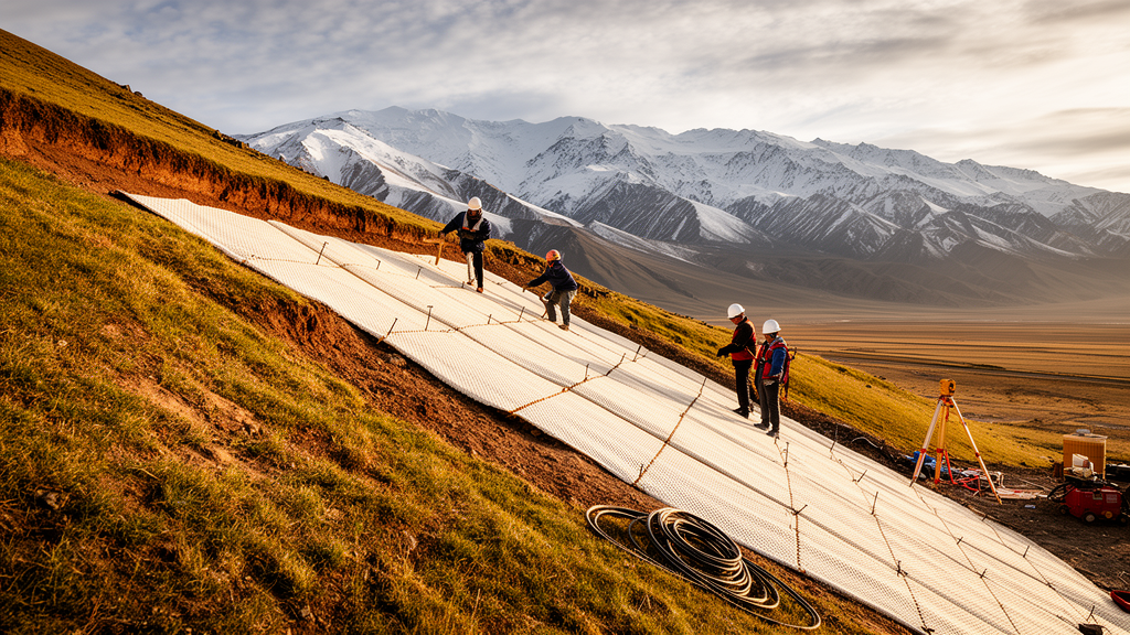
On the steep slopes above Longwu Town in Tongren City, Qinghai Province, a landslide group covering roughly 2.6 square kilometers has been held in check not only by concrete and steel, but by a material borrowed from the kitchen: modified glutinous rice. A new open-access study published on 26 February 2026 describes how engineers combined conventional slope-stabilization works with an ecological restoration technology based on modified glutinous rice-based material, or MGRM, and reports that the Xishan landslide group has since transitioned into a stable state, with surface displacement velocities kept below 0.1 millimeters per day across more than four years of monitoring.
The stakes at the site are unusually high. According to the study, the Xishan landslide group directly endangers the lives of approximately 20,000 people and represents a potential economic loss of 553 million RMB. Threatened targets include the Longwu Monastery, a Major Historical and Cultural Site Protected at the National Level, along with the Huangnan Prefecture Government, the Military Subdistrict, two schools, and the densely populated Siheji Village. The landslide extends about 2.7 kilometers from north to south and between 0.3 and 1.4 kilometers from east to west, comprising twelve individual landslides numbered I through XII, ranging in scale from medium to super-large.
Geologically, the site sits on the northeastern margin of the Qinghai-Tibet Plateau, at the intersection of the West Qinling and North Qilian orogenic belts. The landslide mass consists mainly of Quaternary loess and fragments of Neogene Pliocene mudstone from the Linxia Formation, overlying a sliding zone of gravelly silt 0.5 to 1.1 meters thick. The authors classify the feature as a push-type mudstone cutting-bedding landslide formed in the late Holocene. The southern zone, landslides I through V, has relatively gentle slopes of 15 to 25 degrees with multi-level sliding, while the northern zone, landslides VI through XII, is steeper at 35 to 45 degrees and suffers severe surface soil erosion.
The climate compounds the hazard. The area receives a mean annual precipitation of roughly 426 millimeters, with more than 55 percent concentrated in July and August, while potential evapotranspiration is about twice the precipitation or more. This long-term water deficit makes the ecosystem highly fragile: vegetation coverage ranges from 0 to 60 percent depending on slope, and the alternating effects of intense rainfall and high evaporation degrade the collapsible loess and disintegrative mudstone, promoting soil erosion, landslides, and debris flows.
Management of the site began well before the current project. From 2009 to 2021, multiple phases of work were implemented, but early efforts paid insufficient attention to surface ecological restoration. Vegetation destroyed by landslide deformation struggled to recover, coverage declined continuously, and steep terrain left surface soil exposed to wind and water erosion. That degradation led to local reactivations and new collapses, forcing repeated intervention on parts of the landslide body. Later schemes integrated systematic ecological restoration, achieving favorable results and motivating the integrated approach now described.
The engineering strategy was tailored to each landslide. Using the Rigid Body Limit Equilibrium Method, supplemented by Finite Element Method analysis of deformation and stress fields, the team classified the twelve landslides as stable in total, marginally stable in total, or unstable in total. Stable slopes received monitoring only; marginally stable ones were treated with slope cutting for unloading and surface drainage; unstable ones received deep anti-slide retaining structures and anchoring. For Landslide XI, the upper sliding mass was removed and a lattice frame beam slope protection with a toe buttress was installed. For Landslide II, deep anti-slide piles, anchor bars, and drainage works were placed at the slope toe of the frontal edge, with the piles serving as the primary retaining measure against integral sliding.
The ecological component centers on MGRM, a transparent, colorless, non-toxic aqueous solution formulated mainly from glutinous rice flour, natural hydrophobic agents, plant fibers, and other additives. Its reinforcement mechanism operates on two levels. Chemically, long amylopectin starch chains act as soft templates during hydration, adsorbing calcium ions and regulating the nucleation and growth of calcium carbonate crystals, inhibiting their rapid, disordered growth and inducing finer, denser micron-sized calcite that forms a reticular membrane between soil particles. Physically, the hydrophilic biopolymer network disperses through the soil, wrapping mudstone fragments and loess particles via hydrogen bonding and electrostatic attraction; as water evaporates, the shrinking polymer network pulls particles into compact aggregates while in-situ calcium carbonate crystals fill pores, creating what the authors call a flexible-rigid micro-solidified structure.
The material was engineered to meet specified performance targets referenced to the Chinese technical standard for slope spray seeding greening engineering: a water absorption ratio of 500 to 800 grams per gram, a pH between 6.0 and 8.0, a 7-day unconfined compressive strength of at least 1 megapascal rising to at least 3 megapascals at 28 days, a water stability coefficient of at least 90 percent, a 28-day frost resistance index of at least 85 percent, and a permeability coefficient maintained between 6.0 × 10⁻⁵ and 3.0 × 10⁻⁴ centimeters per second. On soil slopes, tree planting holes arranged in a quincunx pattern, 1.0 by 1.0 meters and 1.2 meters deep, were backfilled with MGRM planting soil. On rock slopes exposed by cutting, a mixture of guest soil, MGRM slurry, attapulgite slow-release fertilizer, rice husk, and sheep manure in a mass ratio of 1:0.2:0.008:0.02:0.1 was sprayed with grass seeds over chain-link mesh. Planting followed a multi-level tree-shrub-grass design using drought-tolerant species such as sea buckthorn, Caragana microphylla, willow, poplar, birch, and Qinghai spruce.
Monitoring results underpin the study’s central claims. Since 2021, automated equipment has tracked the site with 41 GNSS displacement points, 24 crack gauges, and 14 surface inclinometers, integrated into a four-level early-warning system. Over more than four years of GNSS data, displacement curves for most landslides remained stable; only Landslides VI and VII showed clear increases, but their slopes flattened over time. All measured displacement velocities stayed below the blue warning threshold of 0.1 millimeters per day. Some fluctuations occurred, including a roughly 10-millimeter increase in crack opening on Landslide VII in the summer of 2022 and minor gradient jumps on Landslide VIII, but none reached the warning threshold, and fluctuation ranges for Landslides II, III, and VI have decreased significantly since 2024.
Ecological recovery was assessed with the Remote Sensing Ecological Index, built from Landsat 8 data and integrating greenness, wetness, dryness, and heat. In 2019, RSEI values were generally low, indicating severe degradation. In 2021, at project completion, values showed only slight recovery, revealing a response lag: the index did not rise sharply until 2023, and by 2025 it had increased further while low-value areas shrank significantly. The authors suggest post-project monitoring of at least three to five years in high-altitude regions. They also flag limitations: the MGRM durability record spans only four years, its long-term degradation under repeated freeze-thaw cycles requires verification, and a quantitative life cycle assessment is still needed to substantiate the carbon emission reduction benefits compared with traditional concrete spraying.
Subject of Research: Integrated engineering and ecological restoration of the Xishan landslide group using modified glutinous rice-based material
Article Title: Application of ecological restoration technologies for low-carbon and sustainable landslide management: a case study of the Xishan landslide
Article References: Li, R., Zhong, L., Wei, Z., Liu, L., Li, Y., Chang, H., Wang, H., Ren, S., Dong, J., Ma, Q., Wang, D., & Tang, R. (2026). Application of ecological restoration technologies for low-carbon and sustainable landslide management: a case study of the Xishan landslide. Carbon Neutral Systems, 2(1), Article 3. https://doi.org/10.1007/s44438-026-00024-4
Image Credits: AI Generated
DOI: 10.1007/s44438-026-00024-4
Keywords: landslide management, Qinghai-Tibet Plateau, ecological restoration, modified glutinous rice-based material, slope stabilization, GNSS monitoring, remote sensing ecological index, low-carbon engineering, soil biopolymer, Qinghai Province, alpine semi-arid environment, geological hazards
News Source: Alan Morgan. (October 30, 2026). Glutinous Rice-Based Material Helps Stabilize Landslides on the Qinghai-Tibet Plateau. Scienmag.