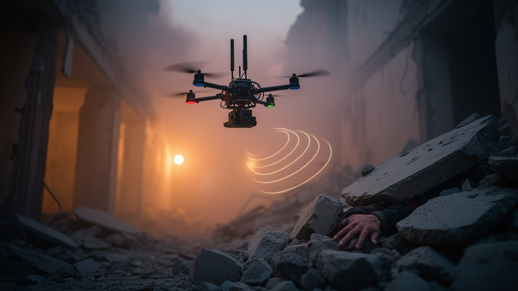
When an earthquake brings a building down, the first hours are a race against collapsing odds, and the tools rescuers reach for first often fail them. Smoke, dust and tangled debris can blind optical and thermal cameras, leaving search teams to grope through ruins with little more than intuition. A new study proposes a different sense: instead of looking for survivors, a swarm of drones would listen for the Wi-Fi signals their smartphones quietly broadcast, then turn those faint radio traces into a live, zone-by-zone map of where people are likely trapped and how urgently each area needs help.
The system, described in the journal Autonomous Intelligent Systems by Zhitong Zhang, Mingliang Xiong and colleagues, is built around a deceptively simple observation. Nearly every survivor carries a portable Wi-Fi device, and such devices periodically emit probe request frames by default, even when their owners are unconscious or unable to call for help. Radio waves can also penetrate smoke, dust and certain non-metallic obstacles, so detection does not require line of sight. The catch is that the received signal strength indicator, or RSSI, the raw measurement these passive systems rely on, is notoriously unreliable in collapsed structures, where multipath propagation and signal obstruction cause violent fluctuations that wreck conventional distance estimates.
The team’s answer is a denoising pipeline tailored to the way drones fly. Rather than hovering at scattered points, each UAV sweeps the disaster area in a Boustrophedon pattern, a serpentine back-and-forth path that produces spatially continuous RSSI sequences along each scan line. Because the drone flies at constant speed in a fixed direction, the signal strength recorded along a line traces a smooth, roughly bell-shaped curve whose peak marks the point closest to the hidden device. The researchers exploit that structure: a spatial resampling step first aligns irregularly spaced measurements onto a uniform half-meter grid using distance-weighted averaging, then the regularized sequence is embedded in a Hankel matrix and decomposed by singular value decomposition, which separates the low-dimensional signal from high-dimensional noise.
The mathematics is deliberately assumption-light. SVD-based denoising discovers the low-rank structure directly from the data, keeping only the leading singular components that carry the bulk of the signal energy, with a cumulative energy threshold of 95 percent, and discarding the rest as noise. After diagonal averaging recovers a cleaned RSSI profile, peak detection yields a candidate location on each scan line, weighted by a confidence score that favors long sequences with sharp, concave peaks. Because adjacent scan lines overlap, the same stationary device is typically detected several times, and a weighted fusion across lines produces the final coarse position estimate, giving priority to passes where the drone flew closer and the peak was better defined.
Localization alone, the authors argue, is not what rescue commanders actually need. What matters is regional situational awareness: how many survivors are concentrated in each area, whether they are moving, and whether the situation is improving or deteriorating. The system therefore repeats its scans at scheduled intervals, tracking devices across passes and flagging any that shift position by more than an adaptive mobility threshold, set to twice the expected localization error. Movement serves as a proxy for vitality, since a survivor able to move is more likely to be alive. Devices new to the record sit in an unconfirmed list until they appear in at least two of the first three passes, while confirmed devices carry expiration timestamps that refresh with each detection, so abandoned phones and vanished signals fade out of the picture rather than clogging it.
All of this feeds a priority score for each predefined rescue zone, computed as a weighted combination of device count, moving devices and the change in device count since the previous scan, with baseline weights of 0.5, 0.4 and 0.1 respectively. Zones are divided before the mission, either as uniform grids, along semantic boundaries such as building footprints, or by operational parameters like a ground team’s coverage radius. Scores are normalized across zones and refreshed after every pass, so the command interface shows a continuously evolving picture of where limited ground teams should go first. The authors note the weights were not optimized in their simulations and could be tuned to operational priorities or learned from data in future work.
How well does it work? So far, only in simulation, and the paper is explicit about that scope. In a Python environment, with three UAVs and results averaged over 50 runs with different random seeds, the proposed method was compared against Kalman-filtered trilateration and against SVD denoising without the resampling step. Under low noise of 4 dB, the three methods performed comparably, with RMSEs of 4.5 meters, 4.2 meters and 3.8 meters respectively. Under high noise of 6 dB, the gap widened dramatically: Kalman-filtered trilateration degraded to 12.2 meters RMSE, SVD without resampling to 9.8 meters, while the proposed method held at 6.5 meters, a 46.7 percent improvement over Kalman filtering and a 33.7 percent improvement over plain SVD.
Robustness to outliers showed the same pattern. At 6 dB noise, the proportion of estimates with error exceeding 15 meters rose to 15.0 percent for Kalman-filtered trilateration and 10.5 percent for SVD without resampling, but stayed at 6.0 percent for the proposed method, a 60.0 percent reduction relative to Kalman filtering and 42.9 percent relative to unresampled SVD. The resampling step also paid a computational dividend: processing time per device-line fell from 5.2 milliseconds to 4.3 milliseconds, a 17 percent saving attributed to the regularized matrix structure accelerating SVD convergence, with the authors expecting greater gains at higher sampling rates. The Kalman filter remained far faster at 0.1 milliseconds, but the accuracy trade-off under severe noise was stark.
Several caveats temper the promise. The simulations assume ideal channel conditions without inter-UAV interference, and they assume each Wi-Fi device has a unique, stable MAC address, an assumption that real deployments will break, since modern devices randomize MAC addresses for privacy. The mobility threshold, the priority weights and the zone divisions all involve design choices that would need field calibration. The authors themselves state that future work will focus on integrating machine learning to optimize priority weights adaptively and on validating the system through field experiments with actual UAV swarms, meaning no real-world performance has yet been demonstrated.
Even so, the framework sketches a plausible bridge between raw radio measurements and rescue decisions. By converting passive Wi-Fi interceptions into zone-level priority scores that update with every sweep, the system aims to give commanders something more actionable than a scatter of coordinates: a dynamic picture of survivor distribution, vitality and trend, refreshed in real time. Whether that picture survives contact with genuine rubble, genuine interference and genuinely randomized phones remains to be tested, but the simulation results suggest that exploiting the spatial continuity of structured drone flight paths, rather than treating each RSSI sample as an isolated problem, may be a meaningful step toward finding survivors when cameras cannot.
Subject of Research: UAV-based passive Wi-Fi localization and crowd monitoring for post-disaster rescue prioritization
Article Title: UAV-based dynamic crowd monitoring for rescue prioritization using subspace-driven localization
Article References: Zhang, Z., Xiong, M., Fang, W., Jiang, Q., Du, S., & Lv, T. (2026). UAV-based dynamic crowd monitoring for rescue prioritization using subspace-driven localization. Autonomous Intelligent Systems, 6(1), Article 20. https://doi.org/10.1007/s43684-026-00142-3
Image Credits: AI Generated
DOI: 10.1007/s43684-026-00142-3
Keywords: UAV swarms, search and rescue, Wi-Fi localization, RSSI denoising, singular value decomposition, Boustrophedon scanning, survivor detection, rescue prioritization, multi-pass tracking, simulation study, disaster response, signal processing
News Source: Denise Maddox. (October 28, 2026). Drones That Listen for Wi-Fi Could Map Survivors When Cameras Fail. Scienmag.