Agricultural researchers tracking individual plant development in Amorphophallus konjac have found that combining three-dimensional structural metrics with color vegetation indices derived from a single uncrewed aerial vehicle LiDAR sensor substantially improves aboveground biomass estimation compared with using spectral data alone. Konjac represents an economically valuable tuber crop cultivated extensively across southwestern China, where it serves critical roles in commercial food processing and industrial applications. Aboveground biomass, which constitutes the dry matter accumulated in plant tissues above the soil surface, provides an essential indicator for assessing vegetative vigor, monitoring growth dynamics, and determining productive potential. Because konjac features a distinctive funnel-shaped canopy with wavy leaf margins, conventional optical monitoring methods that rely solely on surface reflectance often encounter difficulties distinguishing plant tissue from background soil or resolving three-dimensional architecture. By deploying an integrated aerial system that synchronizes active laser scanning with digital color capture, researchers demonstrated that point-cloud structural metrics serve as dominant predictors of dry matter accumulation, while coregistered spectral attributes provide valuable complementary information.
Traditional methods for quantifying aboveground crop biomass typically depend on manual destructive harvesting, which involves cutting plant tissues, drying them under controlled laboratory temperatures, and recording their stable dry weights. Although direct physical harvesting provides reliable benchmark measurements, the process remains inherently labor-intensive, time-consuming, and destructive, precluding continuous tracking of the same crop stands across an entire growing cycle. Satellite remote sensing offers wide geographical coverage and multi-year historical archives, yet its operational utility for fine-scale crop management is frequently hindered by cloud cover, rigid revisit intervals, and spatial resolutions too coarse to isolate individual plants. Conversely, ground-based sensing rigs capture high-resolution close-range phenotypic details but suffer from low operational speed and restricted spatial coverage. Uncrewed aerial vehicle platforms bridge these operational scales by flying at low altitudes to acquire ultra-high-resolution data across entire agricultural fields. While previous aerial surveys of konjac relied on optical digital imagery to estimate biomass, two-dimensional photographs remain susceptible to soil background interference, illumination shifts, and canopy saturation, prompting the investigation of active three-dimensional laser scanning.
To evaluate whether active aerial scanning could overcome these optical limitations, a field experiment was conducted over two consecutive growing seasons across 2024 and 2025 in Fuyuan County within Qujing City, Yunnan Province, China. The experimental layout comprised 40 designated field plots, each measuring six meters by five meters, situated within a single continuous field to examine crop responses under systematic treatment gradients. Agronomic treatments incorporated varying planting densities and nitrogen fertilization regimes, designed to introduce substantial artificial variability into canopy architecture, foliage expansion, and biomass accumulation. In the 2024 trial, within-row plant spacings were set at 0.30 and 0.40 meters alongside nitrogen application rates of 0, 333, and 666 kilograms of nitrogen per hectare, using a fixed inter-row spacing of 0.50 meters. During the 2025 season, within-row spacings were adjusted to 0.25 and 0.35 meters, while nitrogen rates were shifted to 166, 500, and 833 kilograms per hectare. Because konjac is a biennial crop typically requiring two full years from small seed corms to harvest maturity, combining multi-year seasonal data was necessary to encompass the crop’s extended phenological trajectory across both seedling and tuber development phases.
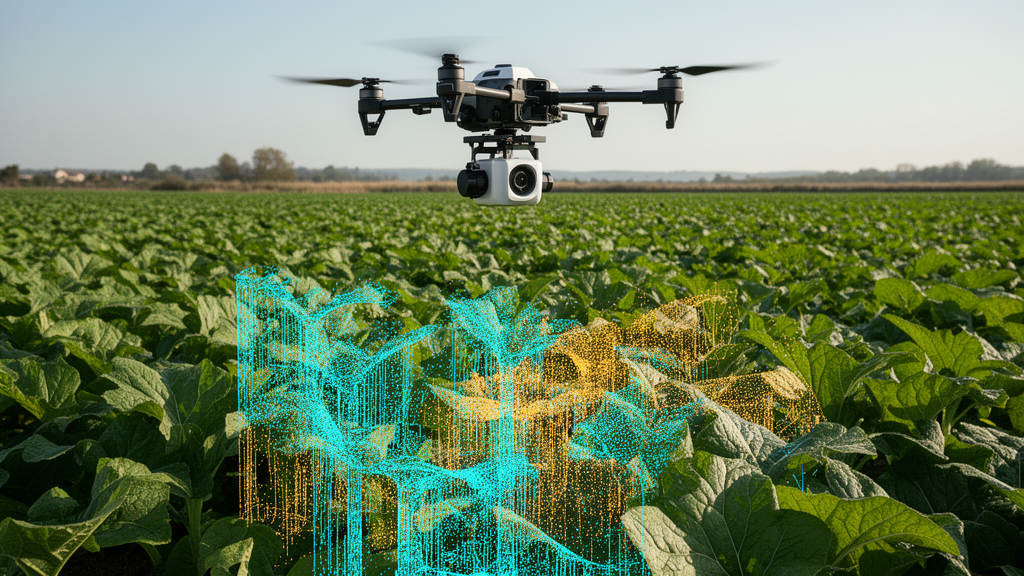
Aerial data acquisition was performed using a DJI Matrice 350 RTK uncrewed aerial vehicle carrying an integrated Zenmuse L2 payload, which combines a LiDAR scanner, a high-precision inertial measurement unit, and a 20-megapixel RGB camera within a single synchronized platform. Flight missions operated at an altitude of 25 meters above ground level using a repeating scanning pattern, generating dense point clouds with an average density of 710 points per square meter under sunny and cloudless sky conditions between 10:00 and 14:00 local time. Destructive physical plant sampling took place within 24 hours of each flight operation to minimize temporal discrepancies between aerial measurements and physical crop development. Within each experimental plot, three representative plants were sampled from interior rows, avoiding a half-meter border margin to eliminate edge effects, and individual geographic coordinates were established using a high-precision RTK GNSS receiver. In the laboratory, sampled plants were washed, separated into roots, tubers, stems, and leaves, and oven-dried at 105 degrees Celsius for 30 minutes before maintaining a constant temperature of 80 degrees Celsius for 48 hours to determine dry weight. Stems and leaves alone were included in aboveground biomass calculations, excluding underground root and storage tissues.
Raw LiDAR laser returns were processed in DJI Terra software to construct georeferenced point clouds with integrated RGB color attributes, which were then linked to destructively harvested plants using verified spatial polygons. To isolate green canopy tissues from bare soil and underlying terrain, the researchers extracted color values directly from individual point returns. Initial vegetation-background separation utilized the Excess Green minus Excess Red index combined with Otsu automated thresholding, followed by a rule-based voting strategy incorporating the Visible Atmospherically Resistant Index, normalized green, and hue-saturation-brightness color constraints. Statistical outlier removal cleaned the isolated canopy returns prior to parameter extraction. Ten distinct visible-band vegetation indices were computed directly from normalized red, green, and blue digital number attributes of the canopy points. Calculating spectral indices from point clouds maintained exact spatial correspondence with three-dimensional canopy geometry, bypassing the separate orthomosaic generation, pixel warping, and independent image clipping required by traditional aerial photographic workflows.
Alongside spectral indices, researchers extracted key structural metrics from the segmented canopy point clouds to quantify vertical growth, spatial footprint, and internal volume. Crop height was determined directly from point elevation distributions by calculating the difference between the 95th percentile elevation of canopy points and the 95th percentile elevation of local ground points, thereby minimizing errors caused by stray ground noise or isolated leaf extremities. The horizontal coverage of each plant was measured as projected canopy area within the horizontal plane using an alpha-shape geometric boundary, while three-dimensional foliage volume was computed using a voxel-counting method based on unit voxel dimensions. Return intensity was characterized across the 10th, 25th, 50th, 75th, and 90th percentiles of backscatter intensity. Comparative analysis between aerial LiDAR estimates and ground ruler measurements across 652 validated plant observations confirmed high structural accuracy, yielding a Pearson correlation coefficient of 0.90, a root mean square error of 0.03 meters, and a minor underestimation bias of negative 0.02 meters across the pooled dataset.
Statistical evaluation of individual predictors revealed that structural variables exhibited markedly stronger correlations with dry biomass than did point-cloud spectral indices. Plant height displayed the strongest single positive association with biomass, achieving a Spearman rank correlation coefficient of 0.61, followed by projected canopy area at 0.52 and canopy volume at 0.51. In contrast, several LiDAR intensity metrics exhibited moderate negative correlations ranging from negative 0.44 to negative 0.25. When evaluated as an isolated linear predictor, plant height accounted for only 37 percent of biomass variation, producing a coefficient of determination of 0.35 and a root mean square error of 1.48 grams per plant on the testing partition. This limitation highlights that vertical growth alone cannot fully capture biomass accumulation in konjac, whose unique funnel-like foliar architecture allows plants of identical height to exhibit substantial differences in horizontal leaf expansion, crown width, and dry matter accumulation.
To model complex nonlinear interactions between candidate predictors and measured biomass, the study evaluated four distinct machine learning architectures: support vector regression, random forest regression, a multilayer perceptron, and a deep neural network. Two automated variable selection algorithms, VSURF and Boruta, were implemented within the training partition to eliminate collinear or redundant features. Across the pooled two-year testing dataset, structural metrics consistently outperformed point-cloud vegetation indices alone across all regression models. Models trained solely on structural metrics achieved coefficients of determination ranging from 0.63 to 0.70 with root mean square errors between 1.02 and 1.12 grams per plant, whereas models relying entirely on point-cloud vegetation indices yielded coefficients of determination between 0.31 and 0.44 with errors between 1.38 and 1.54 grams per plant. Orthophoto-derived spectral indices evaluated alone similarly reached coefficients of determination between 0.36 and 0.53, confirming that optical color metrics alone provide limited predictive power for konjac biomass.
Integrating structural metrics with point-cloud vegetation indices produced substantial improvements in predictive accuracy over spectral models alone and achieved competitive overall performance without requiring separate optical orthomosaics. In the pooled two-year analysis, support vector regression and random forest regression achieved coefficients of determination between 0.67 and 0.70 when combining structural metrics and point-cloud spectral features, with the multilayer perceptron under Boruta feature selection achieving a coefficient of determination of 0.70 and a root mean square error of 1.01 grams per plant. Across stage-specific analyses, feature fusion demonstrated its greatest utility during tuber initiation, where the coefficient of determination increased from 0.37 to 0.56 under VSURF and from 0.28 to 0.52 under Boruta compared with spectral models alone. At the seedling stage, the deep neural network combined with VSURF selection delivered the highest single-stage accuracy of any model, attaining a coefficient of determination of 0.79 and a root mean square error of 0.90 grams per plant.
Despite these demonstrated advantages, the investigators identified several operational and technical constraints that warrant consideration in agricultural deployments. Model predictions exhibited a tendency to overestimate low biomass values while underestimating higher biomass extremes, a smoothing pattern common in regression models handling empirical remote sensing uncertainties and individual plant variation. Furthermore, the dataset excluded plants with sparse point clouds or missing color attributes resulting from occlusion, low stature, or occasional sensor malfunction, meaning that poorly resolved plants were underrepresented in final analyses. Nonetheless, the research confirms that extracting synchronized structural and spectral metrics from a single aerial LiDAR platform provides a robust, noninvasive pathway for monitoring individual plant biomass in low-stature specialty crops.
Subject of Research: UAV LiDAR structural and spectral biomass estimation in konjac
Article Title: Integrating UAV LiDAR-Derived Structural and Spectral Data for Improved Aboveground Biomass Estimation in Konjac
Article References: Chen, Y., Hu, K., He, W., Zhao, Y., Kou, W., Xu, W., Wang, H., Qi, H., & Lu, N. (2026). Integrating UAV LiDAR-Derived Structural and Spectral Data for Improved Aboveground Biomass Estimation in Konjac. Smart Agricultural Technology, 15, Article 102751. https://doi.org/10.1016/j.atech.2026.102751
Image Credits: AI Generated
DOI: 10.1016/j.atech.2026.102751
Keywords: Amorphophallus konjac, UAV LiDAR, aboveground biomass, remote sensing, precision agriculture, point cloud, vegetation indices, canopy structure, plant height, support vector regression, random forest regression, deep neural networks, multilayer perceptron, feature selection, VSURF, Boruta, crop monitoring
News Source: Alan Morgan. (November 20, 2026). Drone LiDAR Structural Data Combined with Point Cloud Color Improves Konjac Biomass Tracking. Scienmag.