Credit: Michael Young
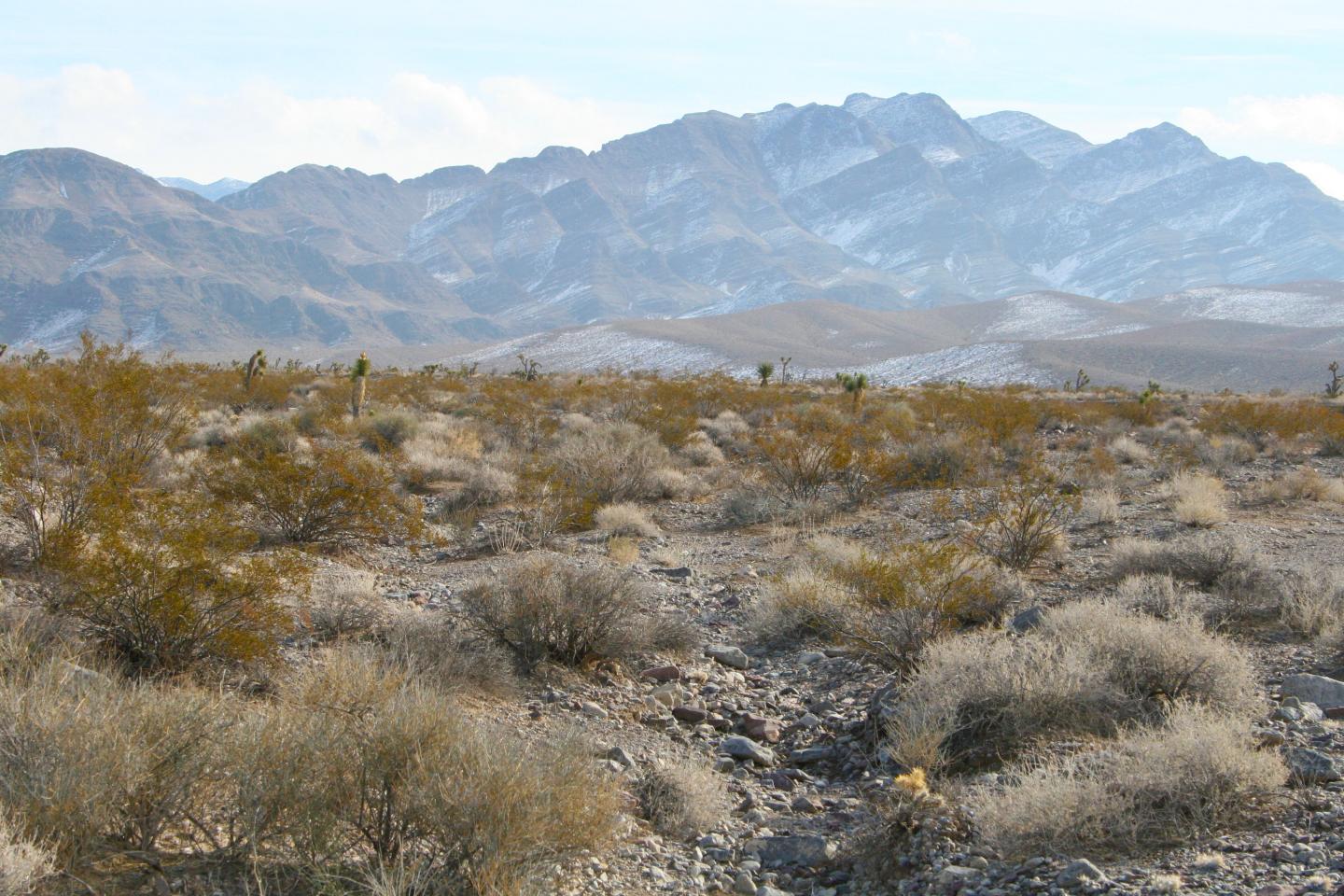
The creosote is the king of the desert. This scraggly shrub dominates the landscape of the American southwest, creating mini-oases from the harsh heat for desert wildlife.
In a new study, researchers at The University of Texas at Austin leveraged computer algorithms and high-resolution survey data to conduct the first-ever creosote census – counting every creosote in a 135-square-mile conservation site in Nevada’s Mojave Desert. The final count was 23 million creosotes among a total population of 66 million plants.
The researchers discovered important new information about the plant species, but they also demonstrate how data techniques can improve on conventional methods for studying plant communities.
“This was first and foremost a big data project,” said James “Jake” Gearon, a graduate student at the UT Jackson School of Geosciences who led the study. “The majority of time was data cleaning, data investigation, data prep. By the time you get to analysis, you have discovered so many things along the way you have a path forward.”
The study was published in November 2020 in the journal Landscape Ecology.
The census is a milestone for plant science. Most plant population data comes from samples of fewer than 1,000 plants or aerial surveys that capture community snapshots. This research presents a way to account for each and every individual in a plant community. The scientists also discovered that certain landscape features can influence how big creosotes grow and how far apart they are spaced.
“People are amazed at the size of the dataset. But we tried to avoid being dazzled by size and focus in the interested things the data tell us,” said coauthor Michael Young, a senior research scientist at the Bureau of Economic Geology, a research unit at the Jackson School.
The creosote research is built on repurposed data collected by Young and colleagues during a 2017 aerial survey that collected aerial photos and elevation data from the Boulder City Conservation Easement in the Mojave Desert.
The data were originally collected to find burrows belonging to the threatened desert tortoise. But the high-resolution photos (one pixel is equivalent to six inches) combined with the elevation data that measured variations in each square meter of the easement, created a rich resource for new research.
Counting the creosotes involved applying computer algorithms that could distinguish the bushes from the surrounding landscape and other plants. In addition to carrying out the census, the algorithms also extracted information on each creosote’s location, height, and canopy area, from which canopy volume was calculated.They also extracted information on the surrounding landscape, such as relative soil age, and slope angle and direction.
When the landscape and creosote information were analyzed together, the researchers discovered some notable trends about how the landscape influenced plant growth.
They found that direction of the slope, or aspect, was the main control on creosote volume – with the plants growing on east-facing slopes being about five times bushier than plants on west-facing slopes.
“That’s five times more cover on the ground for the critters, for land use, or for understanding just how hot the ground is going to get – that has a huge impact,” Gearon said.
They also found that soil age influences creosote volume, with plants in the younger soil being about 27% larger than plants in the oldest.
The connection between soil age and plant size is well documented, but the influence of hillslope aspect on plant size came as a surprise, Gearon said. That’s because the research record more often relates plant growth to north and south slope directions – with few studies on east and west slopes.
But this study suggests that growing on an eastward slope could be an important way for desert plants to stay hydrated, with the placement allowing the plants to soak up the sunshine during the cooler, wetter morning hours, unlike westward slopes which receive the most sunlight during the hottest parts of the day when they’re most susceptible to losing water via transpiration.
Erik Hamerlynk, a research ecologist at the U.S. Department of Agriculture, said the study is significant because of the precision of the data that comes from accounting for every individual in a population.
“This is the first time I’ve seen something that takes plot level data and really expands it to a landscape scale, to a basin scale,” Hamerlynk said. “That’s just a huge accomplishment.”
He added that techniques presented in the study could help improve range management practices by offering an in-depth and standardized view of an entire plant community before and after a particular intervention.
###
The Clark County Desert Conservation Program funded the research.
Media Contact
Monica Kortsha
[email protected]
Original Source
https:/
Related Journal Article
http://dx.


