Forestry researchers have developed an autonomous, lightweight mobile laser scanning system that integrates simultaneous localization and mapping with deep learning semantic segmentation to capture individual tree parameters in complex forest environments. In field experiments and evaluations across multiple benchmark datasets, the robotic mapping pipeline demonstrated the capacity to perform real-time point-cloud processing, accurate understory tree clustering, and high-precision stem diameter measurements directly aboard an unmanned ground vehicle. Operating without external cloud computing, the integrated system achieved an average diameter at breast height estimation accuracy of 97.6 percent compared with manual field measurements. The research establishes that embedding real-time semantic intelligence into a dynamic spatial mapping framework overcomes computational bottlenecks in mobile forest inventories. By simultaneously solving robotic platform localization, structural clutter filtering, and single-tree extraction, the system delivers an automated pathway for conducting high-frequency, large-scale assessments of critical aboveground forest biomass parameters.
Traditional forest resource monitoring has historically depended on manual field surveys, which require field crews to physically measure tree circumferences and record plot attributes. While established forestry protocols generate reliable reference data, manual measurements are labor-intensive, time-consuming, and potentially disruptive to natural environments, creating severe barriers to comprehensive surveys across extensive woodland tracts. Optical remote sensing offers wide spatial coverage but supplies limited three-dimensional information regarding vertical canopy architecture and understory formations. Although terrestrial laser scanning produces highly accurate point clouds from static positions, single-station scanning remains time-consuming and difficult to scale across large forest plots. Unmanned aerial vehicle laser scanning rapidly gathers aerial data with minimal terrain restriction, yet overhead scanning angles leave lower tree trunks obscured by branches and foliage. Consequently, mobile laser scanning has emerged as a practical means to capture understory structure, while still requiring efficient onboard processing to interpret complex forest scenes.
Deploying simultaneous localization and mapping in woodland ecosystems introduces substantial technical obstacles that degrade standard geometric algorithms. Natural forest stands routinely display repetitive geometric patterns, irregular tree distributions, and dense multi-stemmed vegetation, creating ambiguous features that cause conventional geometric SLAM pipelines to suffer from localization drift and unreliable segmentation. Previous attempts to integrate semantic information into mobile scanning often falter in dense undergrowth because low shrubs and irregular ground cover confound trunk-ground boundary discrimination. Furthermore, advanced deep neural networks capable of high semantic accuracy typically impose heavy computational burdens exceeding the processing capacity of compact robotic platforms. Because dense forest canopies obstruct wireless communication networks and prevent offloading raw sensor streams to remote cloud servers, mobile mapping platforms must execute localization, neural inference, and structural parameter extraction entirely on local hardware. To address these operational constraints, the researchers engineered an end-to-end framework combining enhanced LIO-SAM, an incremental k-d tree, an attention-enhanced segmentation network, and automated tree parameter fitting routines.
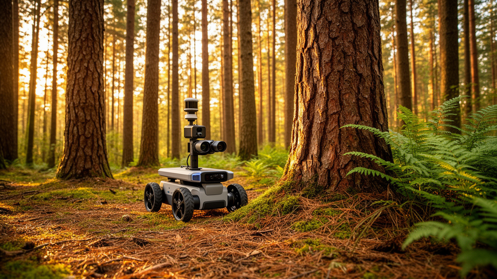
The physical hardware assembly was designed to navigate woodland understory while executing continuous sensor acquisition and real-time processing. The experimental platform utilized an unmanned ground vehicle chassis measuring 0.726 meters long, 0.617 meters wide, and 0.273 meters high, supporting a maximum payload of 50 kilograms. Utilizing differential steering, the vehicle operates at speeds up to 0.8 meters per second, negotiates climbing grades up to 25 degrees, and accommodates joystick control across a 20-meter radius. Primary perception was provided by an onboard MID360 LiDAR sensor acquiring approximately 20,000 points per second at 10 Hertz, offering a 360-degree horizontal field of view alongside a vertical span from negative 7 to positive 52 degrees. All sensor ingestion, odometry calculation, and neural network inference were executed onboard using an AMD Ryzen 3 3200G processor operating at 3.6 gigahertz under Ubuntu 18.04 and the Robot Operating System framework.
A core innovation within the front-end SLAM architecture is replacing static spatial indexing structures with an incremental k-d tree, designated Ikd-Tree, to eliminate computational bottlenecks during continuous mapping. Standard k-d trees require complete rebuilding whenever a new point frame arrives, degrading runtime responsiveness during high-frequency scanning. The Ikd-Tree architecture operates as a dynamic binary search tree where each node maintains an axis-aligned bounding box partitioned by a splitting axis and threshold. Supporting recursive incremental insertions, reinsertions, and deletions, the dynamic data structure monitors local structural states and triggers localized subtree reconstruction only when imbalance occurs. By integrating multithreaded parallel decomposition for imbalanced subtrees, Ikd-Tree sustains query complexity of O(log n) while maintaining near-logarithmic insertion times. In comparative performance trials, integrating Ikd-Tree lowered average per-frame point-cloud processing duration from 27.57 milliseconds in baseline LIO-SAM to 24.43 milliseconds, reducing GPU utilization from 71.3 percent to 50.5 percent while resident memory usage remained comparable.
Semantic segmentation of raw point clouds is conducted through a modified SqueezeSegV3 architecture augmented by an Efficient Layer Attention module. To minimize computational demands, incoming three-dimensional point clouds are projected onto a dense two-dimensional spherical grid of 2048 by 32 pixels, where each pixel records radial range, azimuth, elevation, intensity, and class predictions. The network leverages Spatially Adaptive Convolution to adjust convolutional filtering weights dynamically based on varying spatial densities across the range image. To refine classification between visually similar forest elements, the researchers introduced the Efficient Layer Attention mechanism, which employs directional strip pooling along horizontal and vertical axes coupled with one-dimensional convolutions using kernel sizes of 5 or 7. By applying group normalization and non-linear sigmoid gating, the attention mechanism calculates directional weight vectors that reweight feature maps without expanding tensor dimensionality. This adaptive feature reweighting enables the network to preserve clear boundaries for tree trunks and terrain while filtering canopy foliage and understory clutter.
The operational capability of the robotic system was tested through field experiments in natural woodland environments alongside evaluations on public benchmark datasets. Field trials were carried out in Lihu Forest Park, located in Gu’an County, Langfang City, Hebei Province, China, comprising mixed natural and planted stands dominated by coniferous and birch trees. The research team established two representative 25-meter by 25-meter experimental plots, designated Forest_01 and Forest_02, featuring an average stand density of approximately 2240 trees per hectare. Along the planned traversal path of the unmanned ground vehicle, 30 trees per plot—totaling 60 reference trees—were manually measured at 1.3 meters above the ground to establish ground-truth diameter at breast height. Trajectory accuracy was benchmarked against centimeter-grade Real-Time Kinematic positioning using the EVO evaluation toolkit. Beyond local field acquisitions, cross-environment semantic generalization was evaluated on three public forestry datasets: the Plot_a natural forest dataset from Ämmilinna, Finland; the multi-species ForestSemantic mobile laser scanning dataset; and the high-density Boreal3Dv1 coniferous forest benchmark.
Quantitative semantic segmentation testing demonstrated clear performance gains across multiple challenging forest environments when deploying the attention-augmented network against baseline models. On the self-collected Lihu Forest Park dataset, the proposed architecture attained class-wise accuracy scores of 0.713 for ground, 0.719 for foliage, and 0.891 for tree trunks, achieving an overall mean Intersection over Union of 0.672 and an overall accuracy of 0.896. Baseline models such as PolarNet, CENet, SqueezeSegV2, and original SqueezeSegV3 recorded lower mean Intersection over Union values of 0.537, 0.605, 0.622, and 0.633, respectively. Confusion matrix analysis revealed class-wise accuracy rates of 0.868 for ground points and 0.972 for trunk points, with minimal misclassification among trunk structures. On public benchmarks, the network achieved the highest mean Intersection over Union on Plot_a at 0.558, and attained 0.774 mean Intersection over Union with 0.895 overall accuracy on ForestSemantic, maintaining an inference throughput of 18 to 25 scans per second that outpaced the 10 Hertz capture rate of the LiDAR sensor.
Downstream extraction of individual tree attributes relies on semantically segmented point clouds to isolate structural elements while discarding disruptive foliage clutter. The processing pipeline establishes a Digital Elevation Model at 0.5-meter grid resolution using irregular triangular mesh interpolation, subtracting local ground elevation to achieve terrain normalization. Trunk points are subsequently partitioned into individual tree clusters using Density-Based Spatial Clustering of Applications with Noise, accelerated through Ikd-Tree neighborhood lookups, while clusters located entirely above 1.3 meters are discarded as residual canopy artifacts. For diameter estimation, trunk points at 1.3 meters above ground are extracted and processed using least-squares circle fitting via linear regression. Across both experimental plots, estimated stem diameters closely matched field reference measurements, yielding coefficients of determination of 0.968 in Forest_01 and 0.976 in Forest_02, with root mean square errors of 0.72 centimeters and 0.70 centimeters, respectively.
Trajectory tracking assessments confirmed that the robotic mapping system provides consistent localization stability in understory terrain, yielding root mean square trajectory errors comparable to LIO-SAM while achieving lower standard deviation values of 0.0110 in Forest_01 and 0.0102 in Forest_02, indicating reduced error variability across both closed-loop and open-drift paths. Despite these operational successes, the investigators noted several technical boundaries in the current architecture. Dense foliage occlusion and complex crown geometry still constrain semantic segmentation precision in high canopy regions, which limits the accurate extraction of whole-tree vertical height parameters. Furthermore, training datasets currently reflect a circumscribed range of forest stand structures, necessitating broader regional sampling to confirm model transferability across diverse forest biomes. To resolve these challenges, future development will explore cross-scale data fusion by combining ground-based robotic point clouds with aerial unmanned aerial vehicle LiDAR and visual cameras, alongside transfer learning frameworks designed to expand automated inventory monitoring across variable forest ecosystems.
Subject of Research: Real-time mobile LiDAR-SLAM and semantic segmentation for individual-tree forest inventories
Article Title: A lightweight LiDAR-SLAM system integrated with semantic segmentation for the acquisition of forest biomass parameters
Article References: Zhao, Y., Zhao, S., Zhou, Y., Shen, B., & Wang, J. (2026). A lightweight LiDAR-SLAM system integrated with semantic segmentation for the acquisition of forest biomass parameters. Annals of Forest Science, 83(1), Article 21. https://doi.org/10.1186/s13595-026-01336-8
Image Credits: AI Generated
DOI: 10.1186/s13595-026-01336-8
Keywords: forestry inventory, LiDAR-SLAM, semantic segmentation, mobile laser scanning, diameter at breast height, unmanned ground vehicles, point cloud processing, biomass estimation, lightweight, system, integrated, semantic
News Source: Alan Morgan. (November 12, 2026). Autonomous Robotic Forest Inventory System Delivers Real Time Tree Measurements. Scienmag.