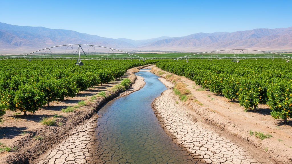
A long-term socio-ecological study evaluating river basins across central Chile has revealed that intensifying meteorological drought is compounding with agricultural expansion to accelerate streamflow depletion, displaying a pronounced south-to-north gradient in hydrological resilience. Published in Frontiers in Sustainable Food Systems by researchers Carla Rivera-Rebella, Mauricio Lima, and Eduardo C. Arellano from the Pontificia Universidad Católica de Chile, the investigation analyzed temporal trends and multivariable relationships across the three primary agricultural basins of the Valparaíso Region: the Aconcagua, La Ligua, and Petorca river basins. By coupling decades of hydroclimatic records with socioeconomic indicators of agricultural land-use change, the authors demonstrated that declining surface water availability is not purely a climatic outcome, but rather the result of structural interactions between precipitation deficits and intensive water extraction driven by an export-oriented agro-economic model.
The study examined historical open-access government datasets covering a period from 1980 to 2023, tracking changes across an area encompassing seventy-five percent of the cultivated land in the Valparaíso Region. In this Mediterranean climate zone, agricultural activity accounts for approximately three-quarters of total consumptive water use, with sixty-six percent of planted land in Aconcagua and eighty-six percent in both La Ligua and Petorca dedicated to fruit cultivation. Avocado, table grape, and walnut plantations have historically comprised more than seventy-four percent of the regional fruit tree area since 2000, oriented primarily toward international markets as high-profit crops. To characterize both sides of the water budget, the authors tracked indicators of water supply including mean annual precipitation accumulation and annual streamflow percentage anomalies relative to the 1980 to 2010 baseline, alongside indicators of anthropogenic consumption including groundwater well depths, granted irrigation water use rights, cleared native forest area, regional agricultural gross domestic product, and exported fruit volumes.
Temporal trend detection using non-parametric Mann-Kendall tests and Sen slope estimators revealed significant downward trajectories in water inputs across all three hydrographic catchments alongside uniform increases in socioeconomic pressures. Streamflow percentage anomalies declined significantly over time, with average annual reductions of 2.26 percent in Aconcagua, 2.08 percent in La Ligua, and 1.84 percent in Petorca. Across the study period, negative streamflow anomalies heavily outnumbered positive years in every basin, recording twenty-seven negative years in Aconcagua, twenty-nine in La Ligua, and thirty-three in Petorca. Since the beginning of an uninterrupted Mega-Drought in 2010, every single recorded year exhibited negative streamflow anomalies across all three basins, with mean percentage anomaly deficits reaching negative 58.9 percent in Aconcagua, negative 82.9 percent in La Ligua, and negative 85.5 percent in Petorca. In both the La Ligua and Petorca basins, historical absolute record lows in streamflow anomalies occurred during 2014.
Concurrently, annual accumulated precipitation showed significant downward trends across all basins, dropping at an annual rate of 6.24 millimeters in Aconcagua, 4.31 millimeters in La Ligua, and 3.82 millimeters in Petorca, against historical average annual rainfall levels of 327 millimeters, 287 millimeters, and 258 millimeters, respectively. In contrast to these dwindling natural water inputs, indicators of agricultural extraction escalated dramatically. Well depth to the water table grew significantly in all basins, reflecting progressive groundwater drawdown, with the steepest rate of change occurring in La Ligua at 2.8 percent per year. Water use rights granted for irrigation increased at annual rates of up to 3.8 percent in Petorca, where irrigation accounted for ninety-nine percent of total granted rights and relied primarily on groundwater. Native forest clearing also increased across all territories, peaking in Petorca with an annual slope of 5.2 percent, while regional agricultural gross domestic product and total exported fruit volume grew steadily at annual rates of 4.1 percent and 2.1 percent, both achieving peak values in 2017.
To evaluate how climatic variability and agricultural production simultaneously influence surface water flows, the researchers developed multivariate linear regression models using ordinary least squares. Because residuals in environmental time series frequently exhibit serial dependence, the researchers corrected standard error estimates using the Newey-West heteroscedasticity and autocorrelation consistent covariance estimator with automatic lag selection. The model specification explained streamflow percentage anomalies as a function of the respective socioeconomic proxy, precipitation, a multiplicative interaction term between socioeconomic pressure and precipitation, and calendar year as an explicit temporal control variable. This secular control coefficient accounted for background linear trends over time, ensuring that the estimated interaction terms reflected robust contemporaneous relationships rather than spurious artifacts of shared secular trajectories.
The regression models demonstrated that while precipitation consistently exhibited a significant direct positive association with streamflow across all basins, the strength of this climatic relationship varied substantially by latitude. Direct precipitation coefficients were comparatively modest in Aconcagua, ranging from 0.07 to 0.24, but increased markedly in La Ligua, where coefficients reached between 0.56 and 0.70, and peaked in Petorca, where values spanned from 0.81 to 1.24. This gradient indicates that surface runoff in the northern basins of La Ligua and Petorca is far more strictly dependent on immediate precipitation pulses than in the southern Aconcagua basin. Furthermore, total model explanatory power followed the same south-to-north gradient, rising from adjusted R-squared values between 0.33 and 0.59 in Aconcagua, to 0.66 to 0.74 in La Ligua, and reaching 0.62 to 0.83 in Petorca.
Analysis of the multiplicative interaction coefficients between socioeconomic variables and precipitation uncovered fundamentally contrasting functional behaviors across the catchments. In the Aconcagua basin, models assessing agricultural gross domestic product and exported fruit volume revealed significant positive interaction coefficients of 0.21 and 0.24, respectively. This positive coupling indicates an amplifying regime where the hydrological drainage network retains baseline resilience, allowing precipitation surpluses during wet periods to overcome agricultural water withdrawals and generate increased surface streamflow anomalies. However, in the northern basins of La Ligua and Petorca, interaction terms were consistently and significantly negative, revealing a buffering phenomenon characterized by anthropogenic decoupling. In La Ligua, negative interaction terms emerged in models for well level, with a coefficient of negative 0.99, and water use rights, with negative 0.70. In Petorca, negative interactions dominated models for water use rights, agricultural gross domestic product, and exported fruit volume, with coefficients of negative 0.94, negative 1.44, and negative 1.31, respectively.
Conditional marginal effects plots illustrated how these negative interactions flatten the natural hydrological system under high agricultural pressure. At minimal anthropogenic pressure, streamflow anomalies in all basins exhibited clear divergence between dry and wet years. However, when socioeconomic variables reached their maximum levels in La Ligua and Petorca, streamflow responses to abundant precipitation converged toward depressed levels, effectively neutralizing the expected hydrologic recovery following heavy rainfall. In La Ligua, the system converged toward a neutral historical average, whereas in Petorca, maximum agricultural activity shifted all trajectories downward into deeply negative anomaly territory, causing wet years with four hundred to five hundred millimeters of rain to mimic extreme meteorological droughts. The persistent linear decline captured by the secular temporal control coefficient in La Ligua and Petorca further corroborated an ongoing, underlying drawdown of water reserves that operates independently of inter-annual rainfall fluctuations.
The researchers contextualized these empirical discrepancies within the distinct hydrogeological profiles and institutional frameworks governing central Chile. Biophysically, the Aconcagua basin benefits from snowmelt and glacial contributions from the high Andes alongside deeper aquifer storage, which provide natural buffering capacity during dry seasons. In contrast, La Ligua and Petorca feature shallow bedrock aquifers with limited storage capacity that saturate rapidly during winter rains and exhaust quickly under intensive extraction. Structurally, all three basins operate under the market-based regulatory system established by Chile’s 1981 Water Code, which uncoupled water rights from physical land ownership and facilitated the overallocation of private, tradable water use rights without capping extraction at sustainable basin yields. The widespread adoption of drip irrigation across more than fifty-five percent of the fruit-growing area failed to curb total extraction, exemplifying Jevons paradox, wherein technological efficiency improvements reduce marginal costs and incentivize the expansion of permanent orchards onto marginal hillsides.
The authors emphasized that their findings reflect contemporaneous statistical associations rather than dynamic structural causality, as parametric time-series architectures with explicit lag structures like ARIMA were excluded to maintain model interpretability across disparate socioeconomic variables. Data availability also required aggregating certain economic metrics to regional scales rather than purely local watershed levels. Despite these analytical limitations, the study provides robust quantitative evidence that agricultural expansion and market-driven water governance have systematically eroded hydrological resilience across central Chile. The investigators conclude that mitigating long-term water depletion requires moving away from fragmented, technical infrastructure fixes toward decentralized, adaptive socio-ecological governance that aligns extraction limits with physical basin boundaries, local ecosystem dependencies, and natural hydrogeological thresholds.
Subject of Research: Socio-ecological modeling of streamflow depletion and agricultural water demand in central Chile
Article Title: Socio-ecological analysis of water availability in three agricultural basins of central Chile
Article References: Rivera-Rebella, C., Lima, M., & Arellano, E. C. (2026). Socio-ecological analysis of water availability in three agricultural basins of central Chile. Frontiers in Sustainable Food Systems, 10, Article 1870155. https://doi.org/10.3389/fsufs.2026.1870155
Image Credits: AI Generated
DOI: 10.3389/fsufs.2026.1870155
Keywords: hydrology, water resources, Chile, agriculture, drought, streamflow, socio-ecological systems, water governance, Socio-ecological, analysis, water, availability
News Source: Alan Morgan. (November 13, 2026). Agricultural Expansion Compounds Drought Driven Streamflow Decline Across Central Chilean Basins. Scienmag.