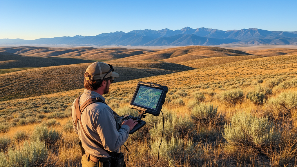
Researchers at the Reynolds Creek Experimental Watershed in southwestern Idaho have demonstrated that high-resolution satellite imagery significantly outperforms standard medium-resolution products for planning and assessing prescribed fires in sagebrush rangelands. The study, published in Fire Ecology, evaluated the accuracy of pre-fire fuel maps and post-fire burn severity datasets across different spatial scales. The team found that 0.5-meter resolution WorldView-2 imagery provided 83.0% accuracy in mapping pre-fire fuel types, compared to just 45.1% accuracy from the 30-meter Landfire product. This disparity highlights a critical gap in current operational tools, which often rely on coarse data that obscures the fine-scale vegetation dynamics essential for safe and effective fire management in complex rangeland ecosystems.
The research focused on a specific prescribed fire operation conducted on October 6, 2023, in the Johnston Draw sub-watershed. This 1.8-square-kilometer area, jointly owned by the Bureau of Land Management and private landowners, is dominated by Wyoming big sagebrush, Western Juniper, and various bunchgrasses.
Prescribed fire planning in rangelands requires precise knowledge of fuel composition and spatial arrangement to ensure personnel safety and resource conservation. Traditional field methods, such as manual transects and quadrat sampling, are labor-intensive and limited in their temporal frequency and spatial coverage. While remote sensing products like Landfire provide broad-area data, their 30-meter pixel size creates a scale mismatch in rangelands. This coarse resolution homogenizes complex surfaces, obscuring localized bare ground gaps and fine-scale lateral fuel continuities that determine whether a fire front will propagate or self-extinguish. Consequently, operational models often struggle to capture the dynamic fine fuels necessary for accurate rangeland fire modeling.
To address these limitations, the study team utilized a combination of high-resolution and medium-resolution datasets. For pre-fire conditions, they compared the 30-meter Landfire Existing Vegetation Type map with a custom 0.5-meter WorldView-2 fuel map. The WorldView-2 data was derived from scenes captured in June and September 2023, shortly before the fire. The team trained a random forest classification model to map fuel types, defining them as the dominant vegetative cover. They validated these maps using 53 field plots with a 15-meter radius, where vegetation types were recorded in August 2023. This validation process allowed for a direct comparison of the accuracy of the two datasets in representing the pre-fire landscape.
The results of the pre-fire fuel mapping showed a clear advantage for the high-resolution data. The WorldView-2 dataset achieved an overall accuracy of 83.0%, while the Landfire product achieved only 45.1%. The Landfire map overrepresented the extent of sagebrush and juniper, likely due to its coarser resolution blending different vegetation types. In contrast, the WorldView-2 map provided a more detailed depiction of the fuel mosaic, including specific classes like bitterbrush and dead felled juniper. This higher level of detail is crucial for identifying areas that may require mechanical pretreatment, such as felling trees to provide ladder fuels, before ignition.
For post-fire assessment, the team compared burn severity estimates derived from medium-resolution Sentinel-2 imagery with those from a high-resolution WorldView-3 image. The Sentinel-2 data was used to calculate the differenced Normalized Burn Ratio (dNBR) and the relative differenced Normalized Burn Ratio (RdNBR), standard indices for mapping burn severity. The WorldView-3 image, captured just two days after the fire, was classified into ash colors—black, gray, and white—using a support vector machine model. This high-resolution ash map provided a more immediate and detailed census of the burned area, avoiding the temporal delays associated with annual medium-resolution products.
When compared against 1,000 randomly distributed validation points, the WorldView-3 ash map demonstrated superior accuracy in mapping burned areas. It achieved an overall accuracy of 90.4%, significantly higher than the 76.0% accuracy of the RdNBR and the 68.7% accuracy of the dNBR. The medium-resolution indices tended to overestimate the extent of burned areas, particularly in regions mapped as barren or containing aspen. The WorldView-3 map, by directly classifying ash colors, provided a more accurate representation of the actual burn severity, which is critical for post-fire rehabilitation and erosion control efforts.
The study also investigated the tradeoffs of using these different datasets for machine learning models designed to predict burn severity. The team tested three candidate models—random forest, gradient boosted trees, and support vector machine—using pre-fire data to predict post-fire severity. They found that models trained on coarse-resolution Sentinel-2 data collapsed, achieving high overall accuracies but exceptionally low F1 scores. This indicated that the models were simply predicting the most common severity class, low severity, rather than accurately differentiating between different levels of burn intensity.
In contrast, models trained on high-resolution WorldView-3 data produced higher F1 scores and better differentiation between low and moderate severities. Variable importance analysis revealed that elevation and distance to stream were the top predictors, while mean fuel radius was also significant. The high-resolution fuel map allowed the model to capture the complex spatial relationships between fuel continuity and burn severity, particularly in areas with felled junipers.
The findings suggest that high-resolution, taskable satellite imagery is well-suited for prescribed fire planning in rangelands. The ability to acquire near on-demand imagery allows managers to capture fuel conditions immediately before ignition, providing a critical planning advantage. This approach enables the explicit mapping of fuel continuity metrics, such as fuel patch radius, which can be used to evaluate localized unit vulnerability before ignition. The study highlights the need for dynamic pre-fire fuel monitoring and responsive burn severity mapping to manage the acute and long-term effects of prescribed fires in complex rangeland ecosystems.
Limitations of the study include the lack of an ignition point dataset, which limited the analysis to predicting burn severity within the burned area rather than modeling fire spread. Additionally, the use of ash color as a proxy for burn severity, while indicative of biomass consumption, is not a direct measure of soil or vegetation damage. The study was conducted in a single watershed, and the results may not be generalizable to all rangeland types or fire conditions. However, the findings provide a strong case for the integration of high-resolution remote sensing data into prescribed fire planning workflows, offering a path toward safer and more effective fire management in the Western United States.
The research underscores the importance of spatial and temporal resolution in remote sensing for fire ecology. High-resolution satellite platforms, such as WorldView, offer a viable solution to these challenges, providing the detailed information necessary to make informed decisions about fire treatment and post-fire management. Future research could explore the integration of even higher-resolution data from unmanned aerial vehicles to further enhance the accuracy of fuel and severity mapping in rangelands.
Subject of Research: Comparison of high-resolution and medium-resolution remote sensing data for prescribed fire planning in rangelands
Article Title: Assessment of pre and post fire remotely sensed data products across spatial and temporal scales for prescribed fire operations in rangelands
Article References: Woodruff, C. D., Clark, P. E., Olsoy, P. J., Enterkine, J., Byrne, A. B., Sclafani, M., Huber, D. P., & Park, J. Y. (2026). Assessment of pre and post fire remotely sensed data products across spatial and temporal scales for prescribed fire operations in rangelands. Fire Ecology, 22(1), Article 113. https://doi.org/10.1186/s42408-026-00565-6
Image Credits: AI Generated
DOI: 10.1186/s42408-026-00565-6
Keywords: prescribed fire, rangeland management, remote sensing, WorldView satellite, Landfire, burn severity, fuel mapping, sagebrush steppe, machine learning, spatial resolution, fire ecology, Western United States, vegetation composition, post-fire assessment, geospatial analysis, wildland fire, fuel type, satellite imagery, fire planning, rangeland fuels
News Source: Drew Townsend. (November 11, 2026). High-Resolution Satellite Data Outperforms Coarse Maps for Rangeland Fire Planning. Scienmag.