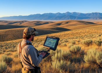
High-Resolution Satellite Data Outperforms Coarse Maps for Rangeland Fire Planning
High-resolution satellite imagery significantly outperforms coarse maps for planning and assessing prescribed fires in sagebrush rangelands, according to a new ...
High-resolution satellite imagery significantly outperforms coarse maps for planning and assessing prescribed fires in sagebrush rangelands, according to a new ...