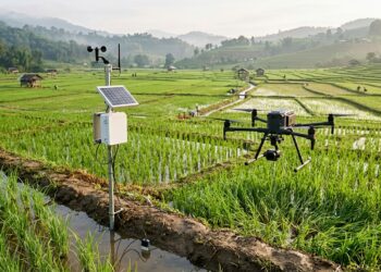
Uneven Machine Learning Adoption Across Global Rice Cultivation Domains Identified in Review
A review of 343 studies reveals an uneven integration of machine learning in rice cultivation, with deep learning dominating image-based ...
A review of 343 studies reveals an uneven integration of machine learning in rice cultivation, with deep learning dominating image-based ...

An editorial in the International Journal of Health Geographics warns that generative artificial intelligence creates severe risks of fabricated satellite ...
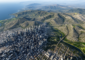
Researchers developed a convolutional neural network named RegFractNet that quantifies Hurst exponents and fractal dimensions of urban terrain from satellite ...
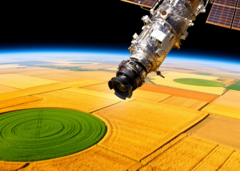
A two-stage hybrid quantum-classical neural network automatically evolved from Sentinel-2 satellite time series matched classical regression baselines and improved pre-harvest ...
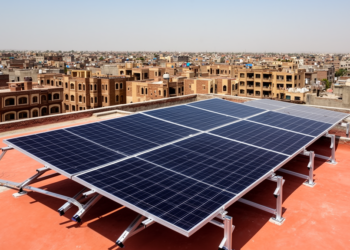
Researchers combined YOLOv8 object detection with the Segment Anything Model to identify urban rooftops from satellite imagery and estimate solar ...
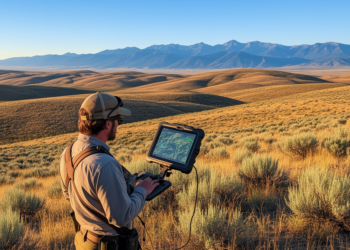
High-resolution satellite imagery significantly outperforms coarse maps for planning and assessing prescribed fires in sagebrush rangelands, according to a new ...
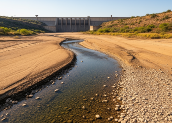
A study by IIT Gandhinagar researchers found that the Ranjit Sagar reservoir reduced surface water availability in the Ravi River ...
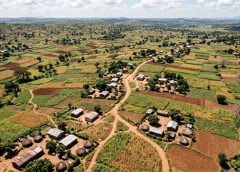
A methodological study in rural Malawi evaluated satellite imagery, OpenStreetMap, and artificial intelligence to construct household survey sampling frames.
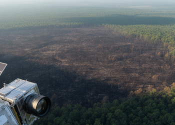
A study of 9,129 North American wildfires finds that radar delivers the fastest post-fire satellite imagery while multispectral sensors map ...
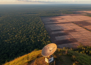
A University of Cambridge-led satellite analysis of three decades and seven presidencies finds that Brazilian election outcomes were directly linked ...

KAIST’s GeoCore-9B outperformed task-specific systems on key public-dataset measures for cloud removal and led some radar-to-optical conversion metrics.
Researchers have unveiled MiRAGE, a parameter-efficient AI framework that adapts its computational depth to each satellite image and uses CLIP ...
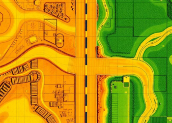
A deep learning analysis of Planet satellite imagery has classified the surface type and width of 9.2 million kilometers of ...

A new Enhanced NDWI combined with a hybrid fusion technique reduces false alarms in satellite-based urban flood detection from 38 ...
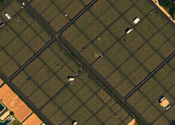
Researchers in Chongqing have developed a wavelet-guided deep learning framework that coordinates frequency-domain and spatial cues to sharply localize changes ...