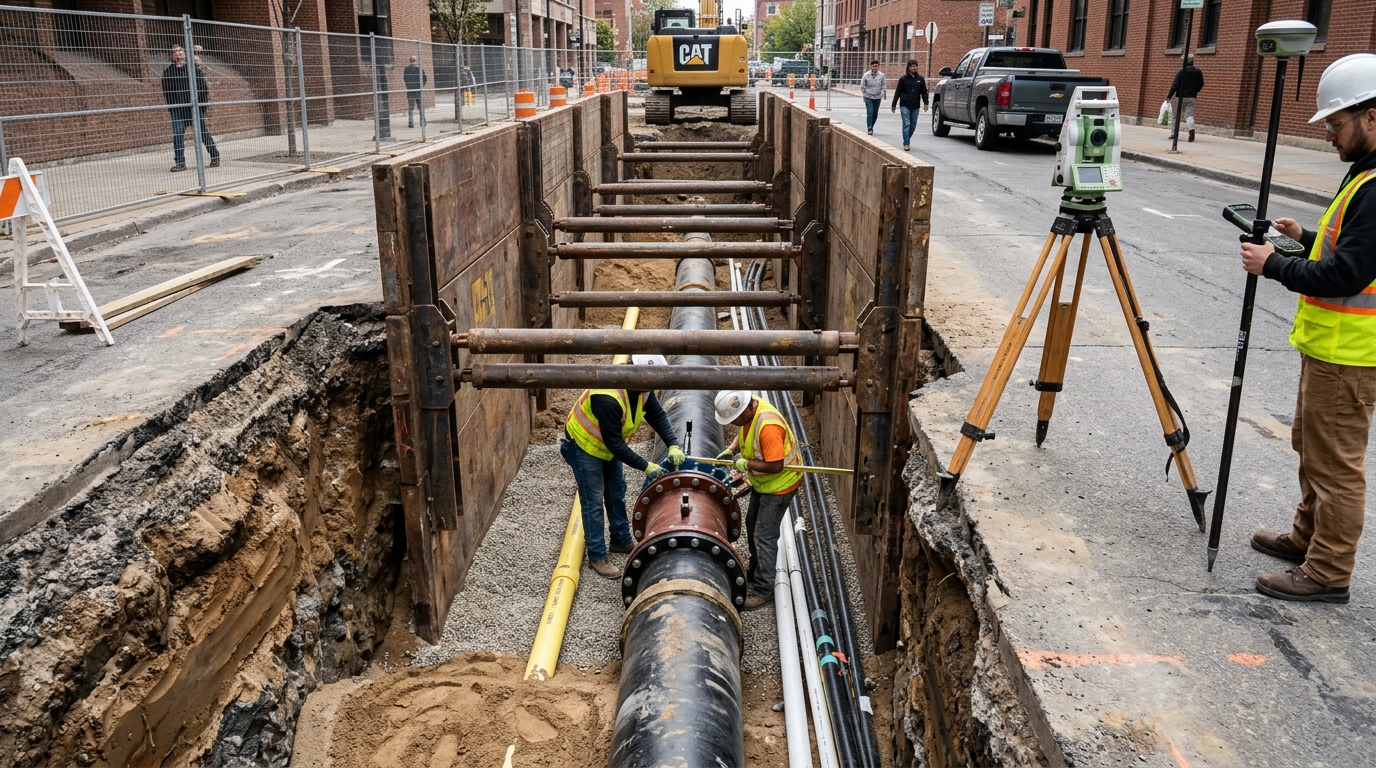
Researchers Wen Yang and Haiyang Lu have developed a precise positioning model for urban underground pipelines that integrates Building Information Modeling (BIM) technology with a graph-based optimization approach. Published in Computational Urban Science, the study addresses the persistent challenges of locating buried infrastructure in complex urban environments where traditional methods often suffer from poor accuracy and low robustness. The proposed model, designated as BIM-GO, fuses data from inertial measurement units and odometers while embedding spatial constraints extracted from BIM models to suppress positioning drift. This integration aims to provide a scalable solution for high-precision localization of water, drainage, electricity, communication, gas, and heating systems that form the backbone of modern city infrastructure.
Urban underground pipelines are critical components of municipal infrastructure, yet their concealment and intricate layout make accurate detection difficult. Traditional detection techniques, such as electromagnetic induction and ultrasonic methods, face significant limitations in environments with multiple materials, deep burial, and severe external interference. These methods often struggle to achieve continuous monitoring and high-precision positioning, leading to misjudgments, construction damage, and resource waste. The rise of inertial navigation systems and BIM technology has offered a new technological path, but previous research has typically focused exclusively on either sensor fusion or BIM-based visualization without achieving a profound level of integration between the two.
The BIM-GO model leverages the multidimensional data capabilities of BIM as spatial constraints within a graph optimization framework. Unlike prior approaches that treat BIM primarily for visualization, this study embeds BIM-derived geometric constraints and topological information directly into the positioning process. The model fuses information from Inertial Measurement Units (IMUs) and odometers, introducing modules for error compensation and pre-integration to mitigate drift errors caused by inertial sensors. A unique contribution of this research is the integration of BIM constraints directly into the optimization graph, enhancing revisit detection via waveform correlation and improving positioning robustness and cumulative drift control.
The methodology begins with an inertial integrated navigation model that determines carrier attitude changes through data fusion of IMU and odometer data. The IMU, composed of three-axis accelerometers and three-axis gyroscopes, measures attitude and motion parameters, while the odometer provides mileage information. The system employs a strapdown inertial navigation arrangement that includes velocity, position, and attitude updates. To address the computational burden of excessive IMU data collection, the model uses inertial navigation to enhance efficiency. The initial alignment is carried out through Dead Reckoning, which corrects zero bias errors and random noise to ensure the accuracy of input data before subsequent calculations.
Graph optimization serves as the core mathematical tool for estimating the optimal state of nodes by optimizing the relationships between nodes and edges. The entire trajectory is modeled as a graph where each node contains pose information, including 3D position and orientation quaternion. Edges encode relative motion constraints derived from IMU pre-integration and odometry. The objective function is formulated as a nonlinear least squares optimization to minimize the sum of squared errors weighted by the information matrix. BIM introduces spatial constraints through virtual landmarks, which are known pipeline nodes from the BIM model. A soft constraint is added for each node to remain near its BIM counterpart, effectively pulling the trajectory back toward known geometry and reducing cumulative error.
To enhance long-term accuracy in complex pipelines, the model includes a revisit detection mechanism based on trajectory waveform similarity. When the system re-enters previously traversed areas, it performs similarity matching based on the correlation of local attitude waveforms. Once a matched revisit point is identified, the relative transformation between current and historical poses is added as a loop-closure constraint in the graph. This recursive feedback loop strengthens the system’s robustness under time-varying sensor bias or uncertain motion estimation, allowing the model to maintain high positioning fidelity under noise, occlusion, and motion perturbation.
Experimental results were based on a public underground utility dataset from OpenStreetMap, covering geographic location, element types, and functional types of underground pipelines. The experimental hardware included an Intel Core i5-8750H CPU and an NVIDIA GeForce GTX 2080Ti GPU. Raw inertial and odometer data were denoised using a second-order Butterworth low-pass filter with a cutoff frequency of 15 Hz. The BIM geometric data were converted to a Cartesian coordinate system and resampled at 0.1-m spatial intervals to ensure consistency with the inertial data sampling rate. The study compared the BIM-GO model with traditional positioning models and a graph optimization-based model without BIM constraints.
The BIM-GO model achieved a positioning accuracy of 95.6 percent, significantly higher than the 91.8 percent of the graph optimization model and the 85.2 percent of the traditional baseline. The average error was 0.45 meters, the lowest among the tested methods. In terms of time efficiency, the model required only 0.9 seconds for processing, compared to 1.1 seconds for the graph optimization model and 1.2 seconds for the baseline. The detection coverage rate reached 96.3 percent, and the trajectory smoothness was 0.05 meters, indicating strong control over the trajectory. The revisit detection accuracy was 89.7 percent, leading the other models, and the cumulative error drift was reduced to 0.32 meters per kilometer, demonstrating high reliability in long-distance tasks.
Simulation analysis further verified the model’s performance, with initial heading deviations mainly concentrated between 0 and 2.5 degrees. The majority of tests had deviations below 1.5 degrees, with 75 percent of test deviations controlled within 1 degree. Error analysis in the east-west and north-south directions showed that error values fluctuated within a range of plus or minus 4 meters, with most data points close to zero. Additional experiments were conducted with varying pipe diameters, burial depths, and material compositions to evaluate adaptability. The model maintained an average positioning accuracy of 94.8 to 96.1 percent across different structural environments, with cumulative drift increasing slightly in mixed-material pipelines due to sensor signal attenuation but remaining within acceptable engineering tolerance.
Comparisons with state-of-the-art approaches, including a LiDAR-BIM fused localization method and a visual-inertial SLAM approach, highlighted the advantages of the BIM-GO model. The model achieved the highest positioning accuracy and the lowest average error, outperforming both traditional methods and recent advanced techniques. While the LiDAR-BIM method performed relatively well due to high-resolution input, it was still outperformed by BIM-GO in integrating inertial navigation with BIM-based constraints. Traditional methods exhibited poor overall performance with a drift of 1.15 meters per kilometer, underscoring the impact of lacking global optimization and structural constraint mechanisms.
The study acknowledges certain limitations, noting that further optimization is needed to adapt to complex environments with different pipe diameters. Under extreme conditions with high sensor noise, the performance of the model may be affected. Future research directions include optimizing sensor fusion algorithms and exploring more efficient error compensation methods to enhance the generality and reliability of the model. The authors suggest that these improvements will provide a more comprehensive solution for accurate positioning of complex underground pipelines, contributing to safer and more efficient urban infrastructure management.
By integrating BIM technology with graph optimization, this study offers a practical and scalable solution for high-precision underground pipeline localization. The model’s ability to suppress positioning drift and enhance long-term accuracy through revisit detection and spatial constraints addresses key challenges in urban infrastructure management. The results demonstrate that combining multidimensional BIM data with inertial sensor fusion can significantly improve the precision and consistency of pipeline positioning, providing a valuable tool for urban planning, construction safety, and daily maintenance operations in modern cities.
Subject of Research: Development of a precise positioning model for urban underground pipelines using BIM technology and graph optimization algorithms.
Article Title: Accurate positioning model of urban underground pipelines based on BIM technology and graph optimization algorithm
Article References: Yang, W., & Lu, H. (2026). Accurate positioning model of urban underground pipelines based on BIM technology and graph optimization algorithm. Computational Urban Science, 6(1), Article 38. https://doi.org/10.1007/s43762-026-00269-2
Image Credits: AI Generated
DOI: 10.1007/s43762-026-00269-2
Keywords: urban infrastructure, BIM technology, graph optimization, underground pipelines, inertial navigation, sensor fusion, positioning accuracy, urban planning, Accurate, positioning, model, urban
News Source: Denise Maddox. (November 8, 2026). BIM and Graph Optimization Improve Underground Pipeline Positioning. Scienmag.