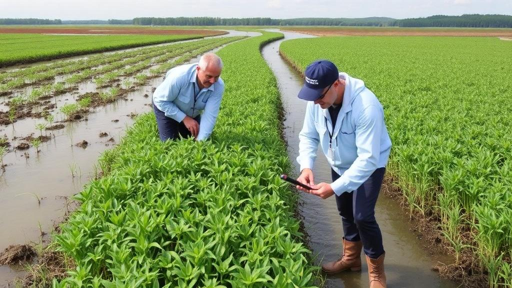
On a stretch of the Danube River’s right bank near the small Croatian village of Draž, engineers are preparing to reconnect a long cut-off side arm to the main river channel. It sounds like a modest piece of hydrotechnical work, but for the floodplain’s forests and aquatic plants it could rewrite the rules of survival. Before the excavators arrive, a team of botanists has done something deceptively simple and profoundly important: they have taken a rigorous, standardised snapshot of every plant community in the area, creating the ecological ‘before’ photograph against which all future change will be judged. The dataset, published in the Biodiversity Data Journal, forms the baseline vegetation component of the monitoring programme of the Horizon Europe project DaWetRest, which aims to restore ecological connectivity in selected Danube floodplains through nature-based restoration measures.
The logic behind the effort is a long-standing problem in restoration ecology. When a river engineering project is completed and scientists later report that vegetation has shifted, critics can always ask: would the change have happened anyway? Floodplains are naturally dynamic, and plant communities fluctuate with floods, droughts and succession. Without a well-documented pre-intervention dataset, post-restoration assessments lack a reliable reference against which observed changes can be interpreted. Publishing baseline data in a standardised, reusable form allows future assessments to distinguish restoration-induced changes from natural temporal variation, and it opens the door to comparative studies and long-term monitoring across other river systems.
The study area itself is no ecological backwater. It lies within the transboundary Middle Danube floodplain shared by Croatia and Serbia, one of the largest remaining riverine wetland systems in Europe and part of the UNESCO Mura–Drava–Danube Biosphere Reserve, a region celebrated for its exceptional biodiversity. Here the interplay between the main channel, side arms, floodplain forests and shallow aquatic habitats creates a mosaic of habitats of remarkable heterogeneity. Previous botanical work in the wider Croatian Danube floodplain, notably in Kopački rit Nature Park, has documented high floristic richness, diverse wetland vegetation and the presence of numerous alien and invasive plant species — a reminder that restored connectivity can be a double-edged sword, reviving native floodplain dynamics while potentially spreading invasive species along the very water corridors being reopened.
The sampling design reflects a careful balance between scientific rigour and practical repeatability. Riparian forest vegetation was surveyed on 20 May 2024 at ten localities. At each locality, botanists established three square plots of 10 metres by 10 metres within representative forest stands, deliberately avoiding recently disturbed microsites and habitat transitions. Every vascular plant species within each plot was recorded, and its cover was estimated using the Domin cover-abundance scale, an ordinal scale running from 0 to 9 that is a staple of European vegetation science. Cover values were then averaged across the three plots to produce a site-level picture of the forest understorey and ground flora.
Aquatic vegetation received its own tailored treatment. On 30 July 2025, the same ten localities were revisited, and at each one three 10-metre belt transects were laid out within the dominant aquatic plant communities, generally parallel to the shoreline wherever the local morphology allowed. This orientation ensured comparable sampling across sites despite the irregular geometry of side-arm habitats. Species cover here was recorded on a five-level ordinal scale, ranging from class 1 for species covering more than 1 to 5 per cent of the transect up to class 5 for those covering more than 75 per cent. As in the forests, values were averaged across the three transects. Boundary cases were handled with a clear rule: an individual was included when the majority of its above-ground biomass fell inside the sampling unit.
One often-overlooked methodological choice deserves attention: every survey was conducted by the same experienced botanist using a single standardised field protocol. Species identification and cover estimation are notoriously observer-dependent, and inter-observer variability can swamp the subtle signals restoration ecologists are trying to detect. By relying on one observer, the team minimised this noise and improved the consistency and comparability of records across all twenty sampling sites. The protocol was also designed with the future in mind — it can be repeated almost verbatim during post-restoration monitoring, enabling direct temporal comparisons rather than vague qualitative impressions.
The dataset goes well beyond a simple species inventory. Alongside the vegetation records, the team compiled event-level environmental descriptors for every site: canopy-cover classes for the forest plots, and field measurements of pH, dissolved oxygen, conductivity and water temperature for the aquatic sites, together with ordinal water-velocity classes distinguishing standing from slow-flowing conditions. Elevation and CORINE Land-Cover categories from the European Union’s Copernicus Land Monitoring Service were recorded for all sampling events, anchoring each site in its broader landscape context. This combination means future analysts can ask not just whether vegetation changed, but whether those changes track shifts in hydrology, light availability or water chemistry.
In total, the published dataset comprises 20 sampling events — ten in riparian forest and ten in aquatic habitats — 251 taxon-by-event occurrence records and 331 measurements. The taxonomic census identified 72 taxa: 40 recorded only in riparian forest habitats, 28 only in aquatic habitats, and four occurring in both, giving 44 forest taxa and 32 aquatic taxa overall. Each record carries an establishment status flag — native, introduced or invasive — a crucial detail for tracking invasion dynamics as connectivity changes. Nomenclature was standardised against Plants of the World Online, and the data were checked for duplicate records, missing identifiers and logical consistency across the linked event, occurrence and measurement tables before publication.
The data are organised in three relational CSV tables following established biodiversity informatics conventions. A sampling-events table holds spatial coordinates, elevation, dates, habitat classifications and protocol details; a species-occurrence table links each scientific name to its sampling event with establishment status and taxonomic references; and a measurement table carries the abundance values and environmental readings, each tied to both its occurrence and its event. The complete dataset has been archived in the Zenodo repository under an Open Data Commons Attribution License, ensuring long-term accessibility and reproducibility, while supplementary files accompany the paper for immediate inspection.
What happens next will be the real test. When the side arm is reconnected, flow conditions, inundation dynamics and habitat structure in the adjacent forests and aquatic habitats are expected to change, and vegetation responses are likely to be gradual and context-dependent, as river-floodplain research has repeatedly shown. Armed with this baseline, the DaWetRest monitoring programme can repeat the identical surveys and measure the difference — separating genuine restoration effects from the background noise of natural variation. The dataset also stands as a resource for invasion biology, floodplain ecology and restoration science far beyond Croatia, offering a template for how a single, well-designed ‘before’ survey can turn a local engineering project into a rigorous, long-running natural experiment on one of Europe’s great rivers.
Subject of Research: Baseline vegetation monitoring for Danube floodplain side-arm reconnection restoration
Article Title: Baseline riparian forest and aquatic macrophyte vegetation dataset from the Danube right bank near Draž (Croatia), to support before-after monitoring of side-arm reconnection (2024-2025)
Article References: Vukov, D., Žunić, D., Prodanović, N., & Sabadoš, V. (2026). Baseline riparian forest and aquatic macrophyte vegetation dataset from the Danube right bank near Draž (Croatia), to support before-after monitoring of side-arm reconnection (2024-2025). Biodiversity Data Journal, 14, Article e190669. https://doi.org/10.3897/bdj.14.e190669
Image Credits: AI Generated
Keywords: Danube River, floodplain restoration, riparian forest, aquatic macrophytes, baseline dataset, side-arm reconnection, biodiversity monitoring, DaWetRest, Croatia, invasive species, hydrological connectivity, vegetation survey
News Source: Gavin Prescott. (October 18, 2026). Scientists Snapshot Danube Floodplain Plants Before a Major River Restoration. Scienmag.