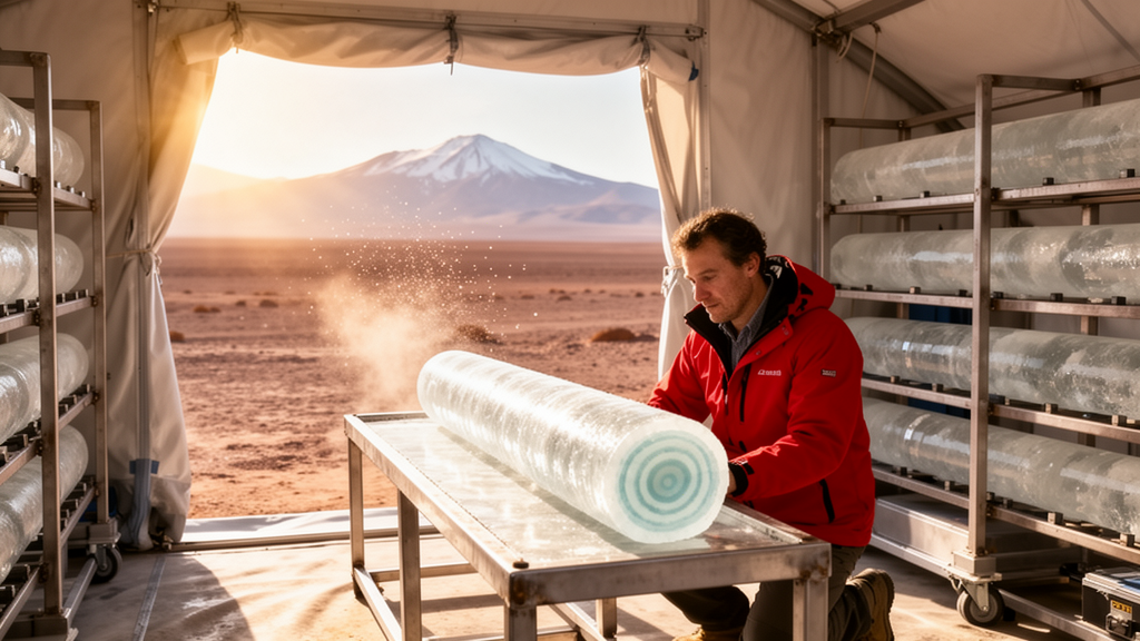
Beneath two desiccated clay pans in the Coastal Cordillera of northern Chile, scientists have recovered sediment cores that may rewrite the climate history of one of the driest places on Earth. In a study published in Scientific Drilling, a team led by Volker Wennrich of the University of Cologne reports the results of extensive site surveys and deep-drilling operations at the Playa Adamito Grande (PAG) and Paranal clay pans, two tectonically blocked basins in the hyperarid core of the Atacama Desert. The work, carried out within the German-funded Collaborative Research Centre 1211 “Earth – Evolution at the Dry Limit,” suggests that these unassuming desert floors conceal sediment archives more than 100 meters thick, potentially spanning several million years of precipitation history in a region where reliable long-term climate records are extraordinarily scarce.
The Atacama Desert is widely regarded as one of the most extreme deserts on the planet, with its hyperarid core today receiving less than two millimeters of precipitation per year. This remarkable dryness stems from a combination of factors: the desert’s position under the subsiding branch of the Hadley circulation, the rain-shadow effect of the Andes, and the cooling influence of the Humboldt Current, whose cold upwelled waters suppress moisture transport from the Pacific. Geological evidence indicates that arid conditions may date back as far as the Late Cretaceous or Oligocene, intensifying through the Miocene. Yet the picture is not one of unbroken desiccation. Sedimentary records from surrounding regions reveal that the overall hyperaridity was repeatedly interrupted by wetter phases, and shorter archives such as paleo-wetland deposits and rodent middens document vegetation shifts over the past 50,000 years linked to variations in the South American Summer Monsoon.
The problem, the researchers explain, is that most existing records do not actually reflect local rainfall. Many of the sediment sequences studied so far received their moisture through groundwater or surface flows originating in the wetter Precordillera and Altiplano, blurring the local climate signal. Archives from the Coastal Cordillera, which are hydrologically disconnected from these external water sources, are extremely rare. This is precisely what makes the clay pans so valuable. These endorheic basins formed when tectonic activity along fault scarps blocked ancient river channels, creating terminal basins that today are fed only episodically by runoff from small local catchments. Any sediment that accumulates in them records precipitation that fell within the desert itself.
The two study sites differ in their settings but share a common origin. The PAG clay pan, at 940 meters altitude, sits in the driest part of the desert with mean precipitation below one millimeter per year. It was formed when movement along the reverse Adamito Fault, active since at least the Miocene, dammed a meandering paleo-drainage with a fault scarp offset of up to 130 meters. The Paranal clay pan, at 2,231 meters on the Pampa Remiendos, receives around five millimeters of rain annually, mostly during the austral winter. It formed when a trace of the Quebrada Grande Fault System, part of the Atacama Fault System, blocked a channel that once drained the Sierra Vicuña Mackenna toward the Pacific. Cosmogenic nuclide exposure dating of quartz pebbles from the abandoned outflow channels indicates that both drainages were finally abandoned during the Middle to Late Pliocene, providing minimum ages for the basins’ formation.
Before committing to expensive deep drilling, the team conducted pilot coring with a handheld percussion system. A 6.2-meter core from PAG proved remarkably informative: luminescence and paleomagnetic dating suggest it spans at least the last 215,000 years, with coarse-grained deposits indicating stronger fluvial input during Marine Isotope Stages 7 to 5 and finer sediments recording a progressive drying from MIS 4 onward. A shorter 1.88-meter core from Paranal, covering roughly the last 32,000 years, revealed that significant runoff into the basin today occurs only during infrequent ENSO-related heavy rains exceeding 20 millimeters, which strike on average every six years. Intriguingly, coarser layers intercalated at intervals of roughly 1,000 to 1,400 years point to millennial-scale flood events far exceeding anything in the historical record.
To peer deeper, the researchers deployed transient electromagnetic (TEM) soundings and active seismic refraction surveys across both basins. At PAG, 56 TEM soundings and a 576-meter seismic profile revealed a consistent three-layer structure: a resistive bedrock basement, overlain by a highly conductive basal sediment unit reaching about 70 meters in thickness, capped by roughly 30 meters of more resistive sediments. The maximum sediment thickness was estimated at 103 plus or minus 10 meters, with the deepest point coinciding with the head of the abandoned paleo-channel. At Paranal, where 116 soundings were recorded, the same three-layer architecture emerged, but with a dramatic twist: the conductive layer follows a channel-like depression incised up to 80 meters into the granitic basement, interpreted as the buried course of the ancient river that once flowed through the site. Total sediment thickness there reaches 160 plus or minus 10 meters in the basin center.
The drilling campaigns themselves pushed the limits of technology in an environment with no water to spare. The team used a truck-mounted sonic drilling rig, which advances without cooling liquids, making it ideal for remote deserts. At PAG in 2017, four boreholes were drilled to a maximum depth of 51 meters before technical issues halted operations, leaving the deepest 50 meters of the predicted sequence unrecovered. At Paranal in 2022, sonic drilling reached 52.3 meters before a massive cobble layer forced a switch to rotary diamond drilling, which ultimately penetrated to 174 meters, about three meters into weathered bedrock. Core recoveries were excellent, often exceeding 100 percent due to sediment expansion during sonic coring. Downhole logging of natural gamma radiation, magnetic susceptibility, and electrical conductivity provided continuous physical records to complement the visual core descriptions.
The cores tell strikingly different stories in their lower sections. At PAG, the basal unit consists of fine-grained clay and silt deposited in a persistent playa lake, interbedded with calcium sulfate layers formed during episodes of enhanced evaporation. The absence of erosional surfaces suggests the lake never dried completely, implying that precipitation once balanced or exceeded evaporation over extended periods, conditions far wetter than today. At Paranal, by contrast, the lower 110 meters comprise coarse, poorly sorted conglomerates with clasts up to 1.3 meters across, deposited by a powerful river system before the tectonic blocking, followed by well-sorted fluvial sands. Even the weathered granodioritic bedrock at the bottom of the Paranal hole bears chemical alteration signatures pointing to a much wetter past. In both cores, the upper sections shift to alluvial-fan deposition, including proximal mudflows and debris flows, sheetflood deposits, distal sediment flows, and pedogenic calcium sulfate paleosols, a facies assemblage typical of the torrential-rain-dominated regime seen in the Atacama today.
One especially evocative find was a roughly 15-centimeter volcanic ash layer in the Paranal core at 14 meters depth, confirmed by microscopic volcanic glass shards and likely sourced from a distant eruption in the Altiplano–Puna volcanic complex or the southern Central Volcanic Zone of the Andes. Once its glass geochemistry is analyzed, this tephra could serve as a precise chronological marker. The team also documented a fossilized desiccation crack at PAG, filled with loose sand and gravel, marking a paleo-surface and a significant hiatus when the ancient lake bed was exposed to subaerial conditions, a process the researchers even replicated in a 14-day irrigation experiment on the modern clay pan surface.
Taken together, the two records sketch an evolution from wetter conditions with more persistent rainfall toward the episodic, torrential precipitation patterns of the present, with increasing paleosol formation and alluvial-fan starvation signaling progressive aridification. The differences between the two sites, only 250 kilometers apart, may reflect different precipitation histories, different basin sensitivities, or gaps in their chronologies. Establishing robust age models is now the greatest challenge, since radiocarbon and luminescence methods reach their limits within the first core meters. The team plans to apply tephrochronology, magnetostratigraphy, U-series dating of evaporites, and cosmogenic nuclide burial dating, techniques capable in principle of reaching back to the Middle Miocene. If successful, these humble desert basins will yield an unprecedented account of how the driest heart of the Atacama responded to global tectonic, oceanic, and atmospheric changes over millions of years.
Subject of Research: Deep drilling of Neogene sediment archives in Atacama Desert clay pans to reconstruct long-term precipitation history
Article Title: Unearthing the climate history of the Atacama Desert in northern Chile – deep drilling in two clay pans of the Coastal Cordillera
Article References: Wennrich, V., Diederich-Leicher, J., Blanco-Arrué, B. N., Büttner, C., Buske, S., Campos Sepulveda, E., Dunai, T., Feller, J., Galego, E., Hasberg, A., Leicher, N., López, D. A., Maldonado, J., Medialdea, A., Ninnemann, L., Perryman, R., Ríos-Contesse, J. C., Ritter, B., Scheidt, S., … Melles, M. (2025). Unearthing the climate history of the Atacama Desert in northern Chile – deep drilling in two clay pans of the Coastal Cordillera. Scientific Drilling, 34(1/2), 1-20. https://doi.org/10.5194/sd-34-1-2025
Image Credits: AI Generated
DOI: 10.5194/sd-34-1-2025
Keywords: Atacama Desert, paleoclimate, scientific drilling, clay pans, Coastal Cordillera, hyperaridity, Neogene, sediment cores, geophysics, transient electromagnetics, Chile, precipitation history
News Source: Violet Maxwell. (October 9, 2026). Deep Cores From Chile’s Atacama Desert Reveal Millions of Years of Hidden Climate History. Scienmag.