Credit: L. Brian Stauffer
CHAMPAIGN, Ill. — Urban planners may soon have a new way to measure traffic congestion. By capturing the different routes by which vehicles can travel between locations, researchers have developed a new computer algorithm that helps quantify regions of congestion in urban areas and suggests ways around them.
The study, published in the Journal of Physics: Complexity, used traffic speeds from taxis in New York City to demonstrate how road infrastructure and driver behavior can create complex road networks that differ among cities.
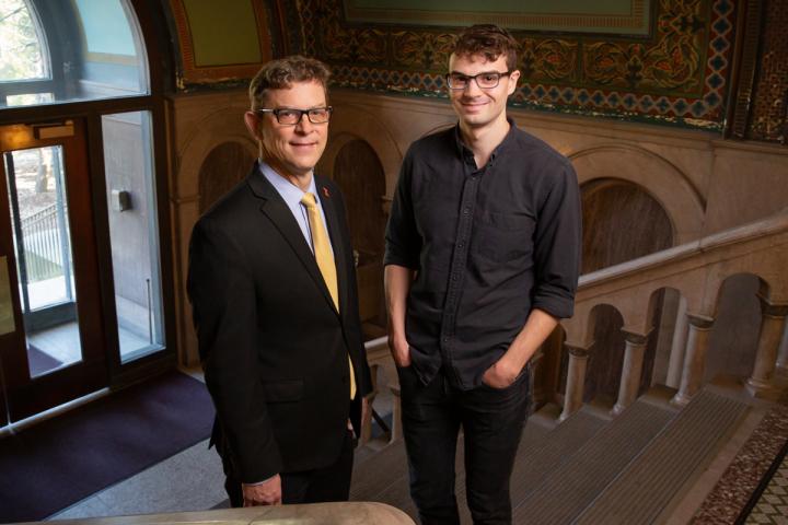
“Ride-hailing and ride-sharing services, and eventually autonomous vehicles, are disrupting traffic patterns in cities,” said Richard Sowers, a professor of mathematics and of industrial and enterprise systems engineering at the University of Illinois at Urbana-Champaign and lead author of the study. “We identified a need for a tool that could help urban planners understand how and why this happens.”
The team approached the issue by designing a computer algorithm to capture the topology – or relationship between the different routes between locations – of road networks. “Roads form complex networks, and the field of topological data analysis seemed to offer the right tools to study travel paths that commuters choose,” Sowers said.
“We found that the most significant traffic bottlenecks in Manhattan seem to arise as a result of the city’s structural layout,” said study co-author Daniel Carmody, who recently completed a Ph.D. in mathematics at the U. of I. “For example, the fact that a bridge enters Manhattan at a latitude where traffic is already limited due to Central Park slows traffic in the area considerably.”
The researchers performed a comparative analysis using traffic patterns in Chengdu, China, to test if the algorithm works equally well in areas with different layouts. Manhattan has a long and thin structure, while Chengdu is round. There are significant differences in the way traffic moves between these two different setups, the researchers said.
“The bottlenecks in Chengdu seem to arise due to the function of the buildings in a particular area,” Carmody said. “For example, it is hard to travel in and out of the central business district in Chengdu because of the sheer volume of traffic alone. Beltways, or faster streets around congested areas, have emerged in circles around this area, which is not surprising because this feature was intentionally built into the city.”
In Manhattan, the bridges and tunnels that form the entry and exit points cause traffic slowdowns. However, in lower Manhattan, where drivers seem to obey the lower posted speed limits, traffic moves more smoothly, forming a new traffic beltway with the southern end of Central Park acting as a barrier between lower and central Manhattan.
“It surprised us that there is an emergent beltway in such a congested area of Manhattan,” Carmody said. “This indicates that, unlike in Chengdu, beltways seem to arise from driver behavior even when they aren’t part of the structural plan of a traffic network.”
Click here to see a video of how the algorithm defines connected routes, finds pathways around congested areas and compares traffic in different cities.
The researchers envision this technology giving urban planners a means to quantify traffic patterns, leading to better mitigation, Sowers said. “As methods of transportation evolve, new problems will emerge, and we hope that our tools will give planners new ways to measure what is going on with city traffic.”
###
The National Science Foundation supported this research.
Editor’s notes:
To reach Richard Sowers, email [email protected].
The paper “Topological analysis of traffic pace via persistent homology” is available online and from the U. of I. News Bureau. DOI: 10.1088/2632-072X/abc96a
Media Contact
Lois Yoksoulian
[email protected]
Original Source
https:/
Related Journal Article
http://dx.


