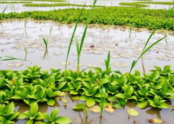
Extreme Rains Reshape Wetland Plant Diversity Across Scales at Poyang Lake
A remote sensing and machine learning study of Poyang Lake reveals that extreme precipitation drives wetland plant diversity through scale-dependent ...
A remote sensing and machine learning study of Poyang Lake reveals that extreme precipitation drives wetland plant diversity through scale-dependent ...
A decade of satellite radar data reveals that land subsidence is widespread across 465 major cities worldwide, with hotspots in ...

Egyptian researchers have built a hybrid Vision Transformer and CNN framework with spectral band selection that outperforms few-shot learning methods ...
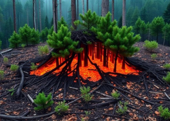
A new global analysis shows that forest fragmentation raises land surface temperatures across most forest biomes, often mattering more for ...
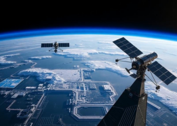
Researchers have unveiled STAR-OV, a framework that protects deep learning models deployed on satellites through two-stage reversible parameter encryption, tiered ...
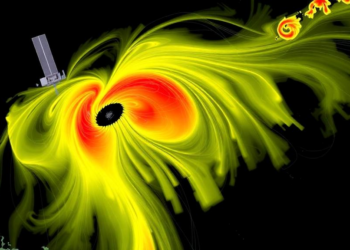
A new InSAR study of southwestern Cyprus shows that active landslides in weak fine-grained rocks move fastest and that rainfall ...
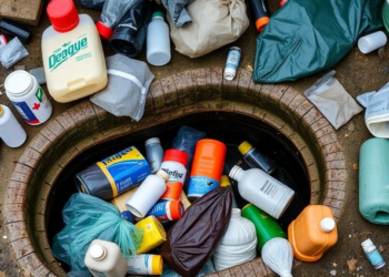
A study of disadvantaged communities in Salvador, Brazil, identifies open sewers, household garbage, and open plastic containers as the dominant ...
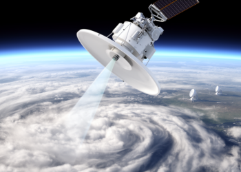
A statistical comparison with seven calibrated ACTRIS ground radars finds EarthCARE's cloud profiling radar is biased by only -0.2 plus ...
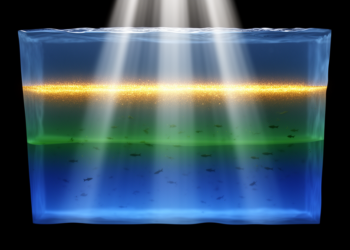
Scientists have integrated a high-resolution three-stream radiative transfer model into the NEMO ocean framework and demonstrated in the Black Sea ...
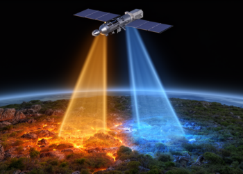
A new conditioning-controlled retrieval framework jointly derives broadband land surface temperature and emissivity from paired ground-based longwave irradiance measurements, achieving ...
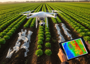
A new drone-based study shows that ordinary cameras can map plastic film residues on farmland, while purpose-built short-wave infrared sensors ...
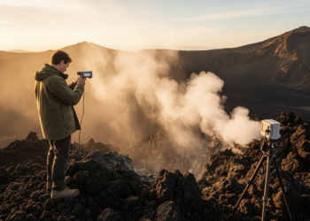
A new feasibility study shows that near-infrared FTIR spectroscopy of sky-scattered sunlight could enable continuous monitoring of volcanic halogen gases, ...

A new comparison of two satellite radar datasets along the central U.S. Gulf Coast reveals they barely agree outside dense ...
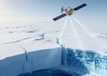
Researchers have combined fifteen years of ASCAT satellite radar data with firn and radiative transfer models to infer effective grain ...

A year-long Danish campaign mounted Doppler wind lidars on a crew transfer vessel and a transformer platform to capture Kelvin-Helmholtz ...
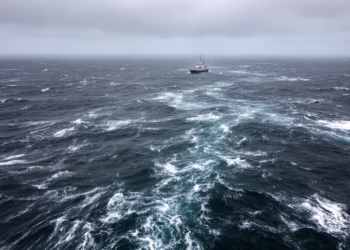
A biogeochemical model study shows that deeper winter mixing boosts subantarctic productivity by relieving iron limitation and suppressing grazing, explaining ...
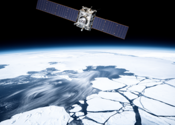
A nine-year comparison with Sentinel-1 radar and drifting buoys shows the NSIDC Antarctic sea ice drift product underestimates ice speed ...

A new Enhanced NDWI combined with a hybrid fusion technique reduces false alarms in satellite-based urban flood detection from 38 ...
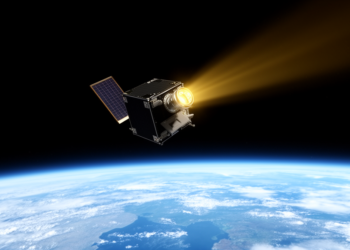
A CubeSat built to measure solar irradiance matched established CERES climate instruments to within about 1 percent while observing Earth's ...
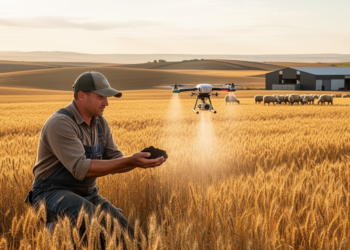
A comprehensive review finds that AI, IoT sensors, remote sensing and precision fertilisation can dramatically raise nitrogen use efficiency, yield ...