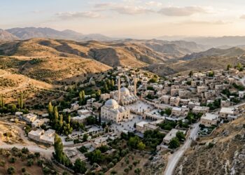
Geographers Map Multi-Scalar Spatial Dynamics of Turkey’s Menzil Religious Community
Researchers used GIS mapping, CAD reconstruction, and diachronic aerial imagery to analyze how the Menzil Community produces distinctive territorialities across ...
Researchers used GIS mapping, CAD reconstruction, and diachronic aerial imagery to analyze how the Menzil Community produces distinctive territorialities across ...