Credit: Credit: Stacy Geiken
Researchers from Stanford and the University of Calgary have transformed pulses of electrical current sent 1,000 feet underground into a picture of where seawater has infiltrated freshwater aquifers along the Monterey Bay coastline.
The findings, which will be published in an upcoming issue of the Journal of Hydrology but are available online now, help explain factors controlling this phenomenon, called saltwater intrusion, and could help improve the groundwater models that local water managers use to make decisions about pumping groundwater to meet drinking or farming needs.
"The hope is that local water managers can use these findings to better identify regions most impacted by saltwater intrusion where targeted management practices can be most effectively implemented," said study co-author Meredith Goebel, a PhD candidate at Stanford's School of Earth, Energy & Environmental Sciences.
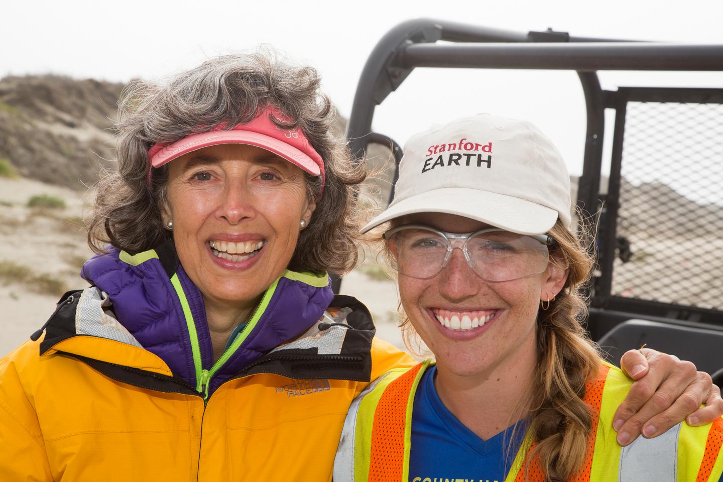
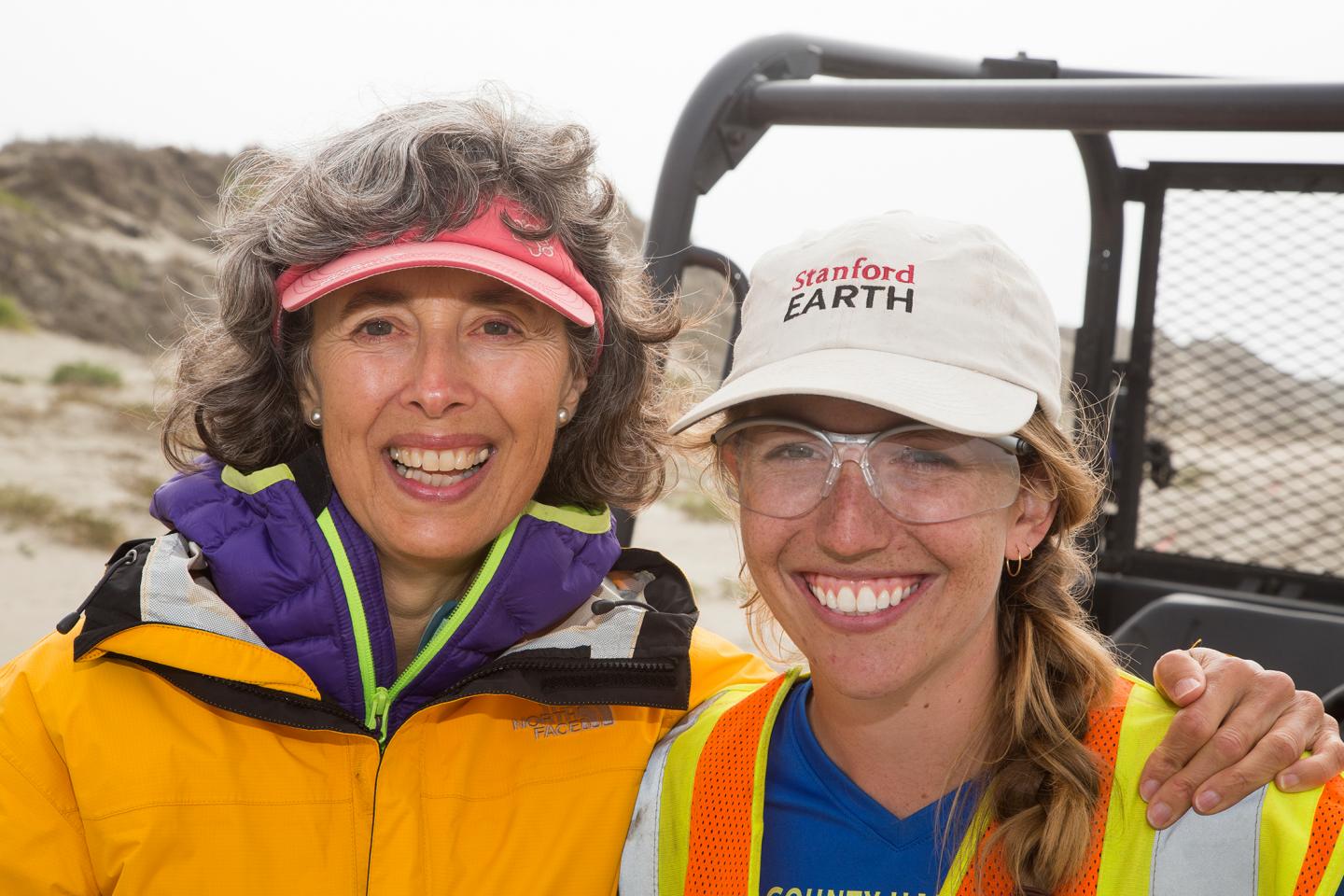
Goebel's graduate advisor, Rosemary Knight, specializes in adapting geophysical imaging tools to monitor and manage freshwater resources. "In the same way that medical imaging has revolutionized the approach to managing human health, I believe that Earth imaging using geophysical methods can revolutionize the approach to managing the health of our groundwater systems," said Knight, who is the George L. Harrington Professor at Stanford.
According to the United Nations, more than half the world's population lives within 37 miles (60 kilometers) of the coast, and three-quarters of all large cities are located in coastal areas. Many coastal communities rely on groundwater to satisfy their drinking and farming water needs. But removing too much of that groundwater can change the fluid pressure of underground aquifers, drawing seawater into coastal aquifers and corrupting water supplies. Saltwater intrusion is often irreversible.
ERT
To determine the extent of saltwater intrusion in the Monterey Bay region, the research team used a geophysical imaging technique called electrical resistivity tomography (ERT) to map the salinity of groundwater along a 28-mile (45-kilometer) stretch of coastline from Aptos to Monterey. ERT measures a property called electrical resistivity. Seawater is electrically conductive due to its high salt content, while freshwater is electrically resistive.
ERT could provide a cheaper and better alternative than the current method used to monitor saltwater intrusion, which involves drilling "sentinel" wells at specific locations. "Unlike wells, which only give you information at one location, ERT gives you a full two-dimensional slice with spatial coverage that is just not possible with wells," Knight said.
Sentinel wells are also expensive: Four of the wells used to monitor saltwater intrusion along Monterey Bay cost nearly $1 million to drill. In contrast, the Stanford team's survey cost approximately $200,000.
ERT surveys could also be repeated at the same spot to observe changes over time, said study co-author Adam Pidlisecky, who is the chief research officer at Aranz Geo. "Looking at differences through time can often be more helpful than trying to understand a single image," said Pidlisecky, who conducted the research while at the University of Calgary in Canada.
Phone tip
For Knight, the study, which is the longest and deepest of its kind, represents the culmination of an ambitious experiment that began with a phone tip six years ago. "A hydrologist working in the Monterey area told me that there was a lot of interest in what's happening with saltwater intrusion along the coast and suggested it could be an interesting project for my group," said Knight, who is also affiliated with the Stanford Woods Institute for the Environment.
When Knight contacted local city officials for permission to start her survey, some of them couldn't quite believe their ears. "One's response to me was, 'I just spent hundreds of thousands of dollars drilling a well, and you're telling me you can do this by walking along the beach?"' she said.
Securing the required permits from cities and private landowners took close to a year, but in the fall of 2014, the team was ready to begin their survey. Over the course of about two weeks, researchers from Stanford University and the University of Calgary worked with engineers from the engineering company WorleyParsons to lay out a long string of electrical cables along the beach. The cables were punctuated by 4-foot steel electrodes sunk into the sand.
After a series of electrodes were in place, the team pumped tiny pulses of electricity through the connecting wire. The current spread below the ground, and by measuring the voltage between pairs of electrodes the team was able to create a resistivity map of the subsurface. Less resistance meant more saltwater lay below. Once the team surveyed a section of coastline they pulled out the stakes and repeated the process elsewhere.
The survey involved spending long hours in the sun hauling heavy equipment and painstakingly covering nearly the entire Monterey Bay coastline one mile at a time, but the effort paid off. "This is the first regional-scale view of the subsurface that clearly shows the impact of geology on fluid distribution as well as the influence of near-coast pumping," Pidlisecky said. "Throughout the process we have actively connected with groundwater managers and technical professionals in the region, as well as the public at large. We are excited to take this engagement further with the publication and sharing of these results through an interactive 3-D web portal."
The data the team collected yielded a colorful, two-dimensional resistivity map of the coastline that reveals complex patterns of saltwater intrusion in the region down to a depth of 1,000 feet and highlights the interplay between the geology and human activities controlling the region's distribution of fresh- and saltwater. For example, the team discovered a dynamic body, or "lens," of freshwater near Marina formed through infiltration from overlying storm water runoff ponds in an area that was otherwise undergoing saltwater intrusion. The map also showed that efforts by the Pajaro Water Management District to reduce groundwater pumping by providing recycled water to irrigators was working as planned.
Keith Van Der Maaten, general manager of the Marina Coast Water District, said the new findings could help fill in numerous gaps in their data of groundwater resources. "The current mapping of the freshwater-saltwater interface in our region has many issues and is misleading," Van Der Maaten said. "The ERT data will help give us a more complete picture so we can move forward with our water supply planning and groundwater sustainability efforts."
Follow-up airborne study
Since electrical resistivity is a property present in all materials, ERT could have applications beyond water management. "Any time what you are trying to image in the subsurface has a different resistivity than the material surrounding it, you should be able to use this method," Goebel said.
Knight is not finished with the Monterey Bay region just yet, however. Her team has partnered with the Marine Coast Water District to conduct a follow-up airborne helicopter survey that employs a different geophysical technique to map subsurface electrical resistivity in the region's inland areas.
"Instead of just one slice, the airborne survey is going to give us hundreds of slices and allow us to put together a three-dimensional picture of the underground freshwater distribution," Goebel said.
###
The study, titled "Resistivity Imaging Reveals Complex Pattern of Saltwater Intrusion Along Monterey Coast," was funded by Stanford's School of Earth, Energy & Environmental Sciences, the S.D. Bechtel Jr. Foundation and the National Sciences and Engineering Research Council of Canada.
Media Contact
Ker Than
[email protected]
650-723-9820
@stanfordearth
https://earth.stanford.edu/
############
Story Source: Materials provided by Scienmag


