Credit: NASA Goddard MODIS Rapid Response
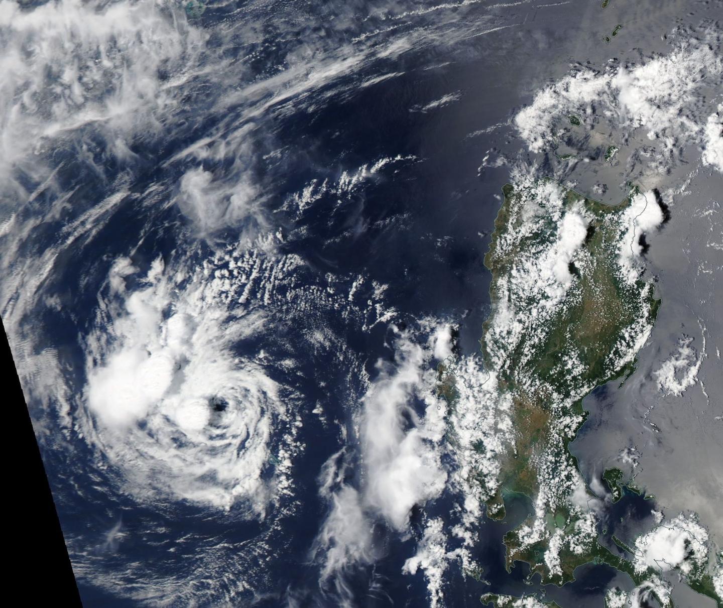
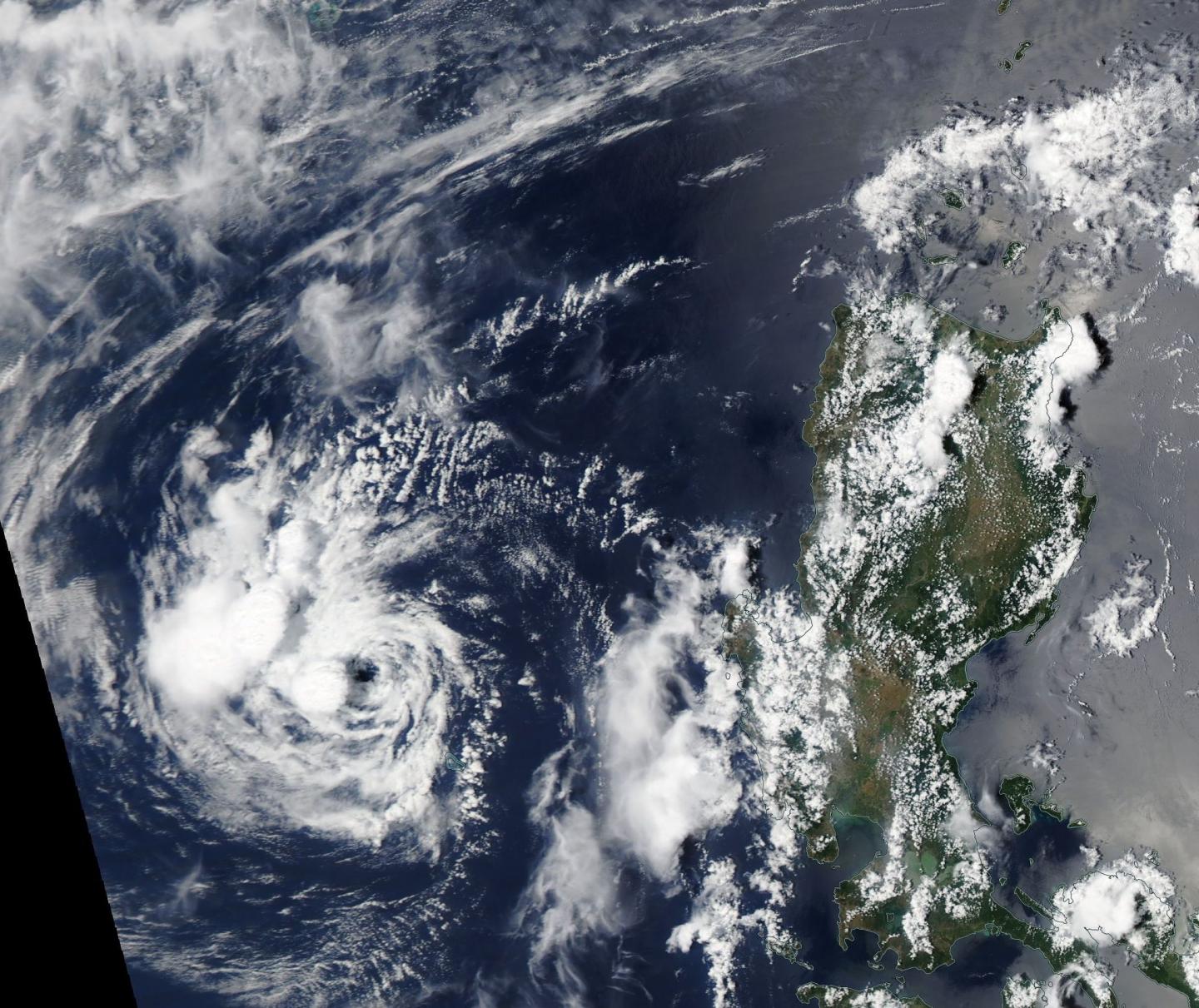
The remnant clouds associated with former Tropical Cyclone 02W continued to linger in the South China Sea when NASA's Aqua satellite passed overhead.
Early on April 18 the Moderate Resolution Imaging Spectroradiometer or MODIS instrument aboard NASA's Aqua satellite provided a visible picture of ex-tropical cyclone 02W's clouds. The image showed a circulation with the bulk of clouds to the west-northwest of the center of the system.
On April 18 at 0600 UTC (2 a.m. EDT), the remnants of former Tropical Depression 02W were located in the South China Sea near 15.7 degrees north latitude and 117.2 degrees east longitude. That's about 260 nautical miles (299 miles/481 km) northwest of Manila, Philippines.
The Joint Typhoon Warning Center (JTWC) said "Animated multispectral satellite imagery indicates a fully exposed low level circulation center with flaring convection to the west."
Tropical Cyclone 02W crossed the central Philippines over April 14 and 15 and emerged in the South China Sea on April 16.
Although the upper level of the atmosphere appears to be somewhat favorable to allow development, the low pressure area doesn't have strong outflow (air flowing out of the system from the top of it). The system is also drawing in dry air which is expected to prevent re-intensification.
JTWC said that global computer models continue to dissipate the remnants for the next 12 to 24 hours as the system tracks to the north, so the potential for the development of a significant tropical cyclone through April 19 at 0600 UTC (2 a.m. EDT) remains low.
###
Media Contact
Rob Gutro
[email protected]
@NASAGoddard
http://www.nasa.gov/goddard
############
Story Source: Materials provided by Scienmag


