Credit: Credits: NASA
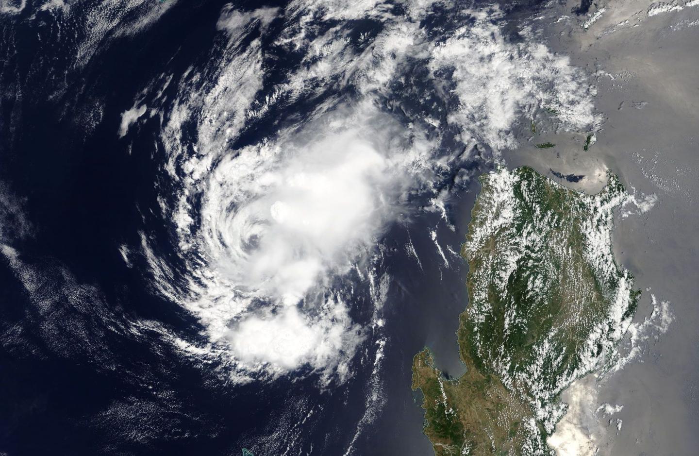
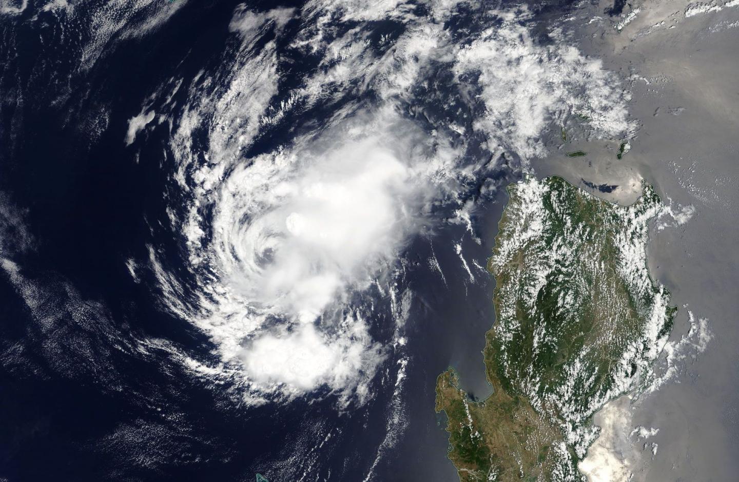
NASA's Terra satellite passed over the remnants of Tropical Depression 02W as it continued to linger west of the northern Philippines on April 19.
On April 19 at 0600 UTC (2 a.m. EDT), the remnants of Ex-Tropical Cyclone 02W were located in the South China Sea, near 17.9 degrees north latitude and 117.9 degrees east longitude, approximately 265 nautical miles northwest of Manila, Philippines.
The MODIS instrument aboard NASA's Terra satellite showed that thunderstorms developed east of the center of circulation. Strongest storms were east of center, while thinner clouds spiraled around the system, west of the center, The Joint Typhoon Warning Center or JTWC noted that "Animated multispectral satellite imagery [also] showed a well-defined low level circulation center with flaring convection over the eastern semi-circle."
The low pressure area is located in an area of moderate vertical wind shear and global computer forecast models show no significant development as the system tracks northward.
However, the JTWC noted that there is a short window of time, within the next 24 hours, where the remnant low pressure area could intensify slightly before it moves into an area with strong vertical wind shear. Once it moves into that area on April 20, the stronger area of wind shear will prevent further intensification.
The JTWC said that the potential for development of a significant tropical cyclone within the next 24 hours is upgraded to medium.
###
Media Contact
Rob Gutro
[email protected]
@NASAGoddard
http://www.nasa.gov/goddard
############
Story Source: Materials provided by Scienmag


