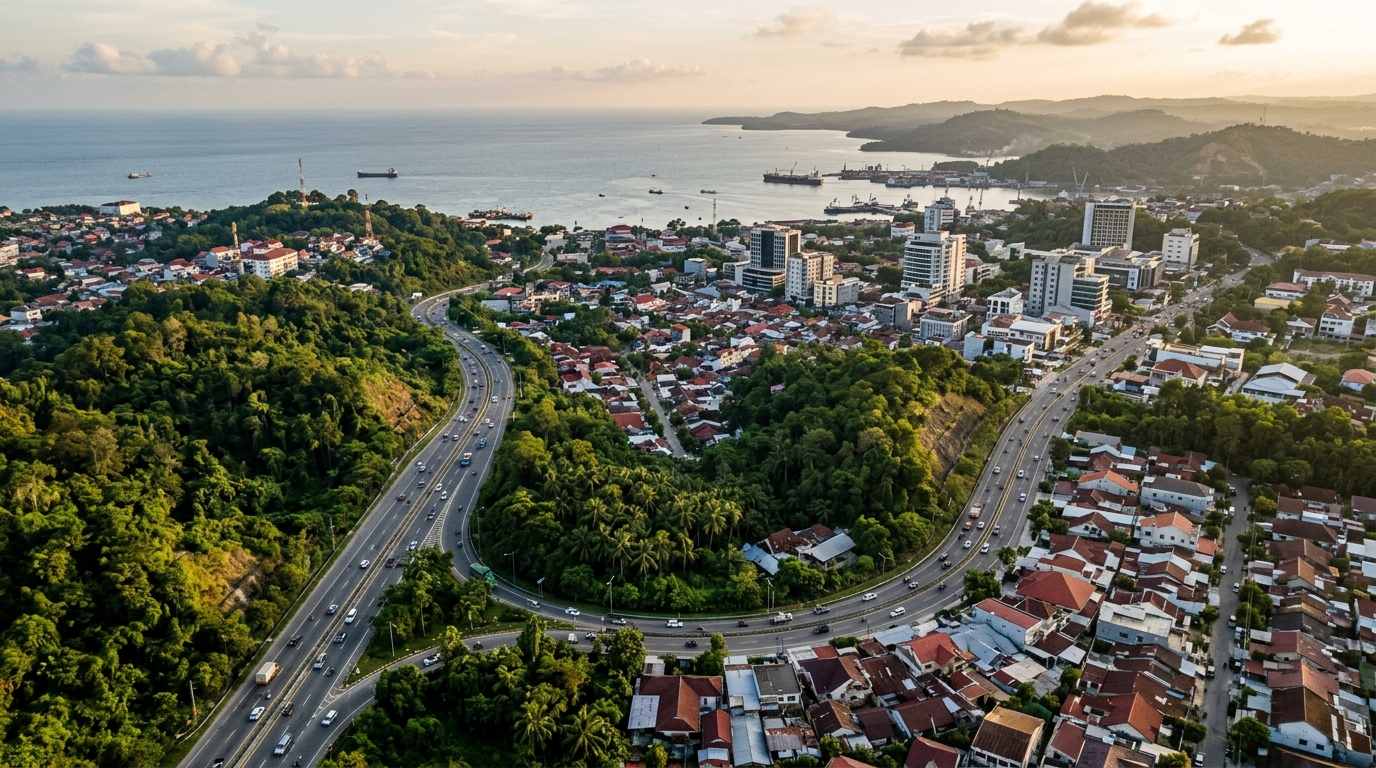
In a spatial analysis examining urban development in East Kalimantan, researchers found that physical expansion and electrical illumination of a satellite city do not automatically translate into public engagement or appeal. Focusing on Balikpapan, an established Indonesian coastal hub serving as the primary gateway and buffer city for the nation’s new capital, Nusantara, the computational investigation integrated satellite nighttime light data with geotagged point-of-interest records to evaluate urban brand popularity. The findings demonstrate that while artificial lighting is distributed relatively evenly across urban sectors, indicating broad commercial activity, the average popularity score for designated city brand objects remained below forty-five percent across all administrative districts. Furthermore, high concentrations of urban infrastructure did not uniformly align with zones of elevated public perception or spatial attachment. This divergence indicates that physical growth alone is insufficient to build civic recognition, emphasizing that secondary and feeder cities require deliberate, evidence-based spatial branding interventions to cultivate genuine public popularity rather than relying solely on infrastructure provision.
The investigation situates Balikpapan within operational challenges faced by satellite cities across developing regions, where rapid urbanization routinely forces peripheral centers to absorb metropolitan population spillovers. While urban planning literature historically positions satellite cities as functional appendages designed to provide housing and economic balance for primary cores, international precedents demonstrate that these urban centers must cultivate distinct competitive identities. Comparative examples such as Shenzhen in China, which evolved from a peripheral manufacturing zone supporting Hong Kong into an independent global technology leader, alongside Tangerang Selatan near Jakarta and Pune adjacent to Mumbai, illustrate the necessity of independent economic standing. However, Asian satellite settlements experience dual operational pressures, functioning simultaneously as support buffers for core metropolitan hubs and striving to establish self-reliant civic identities. Under Balikpapan’s Regional Long-Term Development Plan spanning 2025 to 2045, municipal authorities have designated five core developmental pillars comprising services, industry, trade, tourism, and education, seeking to leverage its strategic status anchored by Semayang Seaport and Sultan Aji Muhammad Sulaiman International Airport.
To overcome the subjective biases and geographic limitations inherent to traditional survey methodologies, the research team constructed an empirical computational science framework that synthesized multi-source digital footprint metrics. The data collection architecture focused on two complementary empirical datasets capable of capturing localized urban dynamics at high resolution. The primary dataset comprised point-of-interest records extracted directly from Google Maps using dedicated Python automation routines, isolating geographic coordinates, place categories, visiting frequencies, visitor demographics, and temporal usage patterns. These points of interest were categorized specifically into tangible city brand objects that convey physical and symbolic urban identity. The secondary dataset utilized nighttime light imagery obtained from the Visible Infrared Imaging Radiometer Suite sensor aboard Earth observation satellites, standardized to a spatial resolution of 750 meters. Because nocturnal radiance exhibits a strong documented correlation with localized population presence and economic activity, nighttime light readings provided a dependable empirical baseline for mapping physical vitality across Balikpapan’s established electrical network.
The analytical procedure processed these spatial indicators through a three-stage computational sequence designed to quantify spatial clustering and brand fullness. In the initial phase, raster satellite values were aggregated onto a standardized spatial grid where each unit was assigned a mean light intensity value. The authors implemented a logarithmic transformation to normalize nocturnal radiance distribution across grid units, calculating normalized light intensity as the natural logarithm of the raw nocturnal reading plus a small constant delta offset. The secondary stage processed geocoded point-of-interest records, extracting location metadata alongside operational profiles that tracked hourly and daily customer volumes. In the third computational stage, the authors executed a kernel density algorithm to calculate spatial heatmap densities, mathematically integrating the popularity values of brand objects with radial geographic distances to delineate continuous zones of public attraction. This composite computational framework allowed researchers to map the two-dimensional density of popular locations across administrative districts, producing objective visual representations of how populations navigate the municipality’s spatial landscape.
A central element of the study involved categorizing city brand objects into five distinct yet interdependent urban dimensions that shape public perceptions and city brand equity. The analytical framework classified every identified point of interest into city amenities, hospitality, attractions, business and industry, or visual appearance. Among these categories, city amenities emerged as the single most dominant classification across Balikpapan, reflecting a municipal emphasis on accessible public infrastructure, municipal parks, and commercial retail centers that support daily resident livability. Hospitality establishments, including hotels, diverse culinary venues, and transit accommodations, formed the second substantial pillar, reinforcing the experiential dimension of the urban landscape. City attractions, spanning historical landmarks, recreational spaces, and cultural assets, supplied the symbolic capital necessary to draw leisure travelers. Meanwhile, business and industrial facilities represented the economic substructure sustaining regional capital accumulation. Finally, city appearance objects, though representing a smaller numerical proportion of the total dataset, provided vital visual anchors and aesthetic readability that enhance place attachment.
Spatial mapping of these categorized assets revealed a pronounced geographic concentration in the central and southern corridors of Balikpapan, particularly within the Balikpapan Tengah and Balikpapan Selatan administrative districts. These dense clusters align directly with historical commercial zones, administrative government complexes, and major arterial transportation routes that optimize public accessibility. In contrast, outlying suburban territories such as Balikpapan Barat and Balikpapan Utara exhibited markedly lower concentrations of brand objects, especially within commercial and specialized leisure sectors. Nevertheless, spatial planning evidence indicates that these northern and western districts function as vital regional development nodes directly linked to the transit corridors extending toward the new capital site of Nusantara. Monuments, urban parks, and recreational tourism assets situated within the municipal core function as vital symbolic anchors that sustain weekend leisure activities and reinforce local community identity, confirming that tangible physical features remain essential mechanisms for concentrating human activity and shaping shared urban narratives.
Temporal investigations into visitor engagement patterns demonstrated marked fluctuations across both weekly cycles and daily operating hours. Analysis of daily average popularity revealed a steady progression throughout the calendar week, beginning at a baseline of twenty-seven percent on Monday and climbing steadily to a weekend high of 33.16 percent on Saturday, representing an overall popularity increase of 20.7 percent. Sunday activity maintained an average popularity level of thirty percent, continuing to exceed weekday engagement due to sustained cultural programming, leisure outings, and community gatherings. When evaluating temporal data across hourly intervals from January through June 2024, researchers identified a pronounced nocturnal peak across all seven days of the week, with Friday and Saturday evenings showing the highest levels of visitor engagement. Public activity reached its daily zenith between 7:00 p.m. and 9:00 p.m., closely mirroring established nightlife urban models where public spaces become social and economic gathering nodes following the conclusion of conventional working hours.
A comparative examination of nocturnal light measurements and district-level popularity scores uncovered stark spatial contrasts across the municipality’s geographic landscape. Maximum nighttime light intensity values in the central and southern districts peaked at 125.5, substantially higher than the regional average of 63 documented across typical populated settlement zones, reflecting dense commercial establishments, transportation functions, and residential concentrations. In terms of brand popularity metrics, Balikpapan Selatan led all municipal sectors with an average score of 33.36 percent, closely followed by Balikpapan Tengah, whereas the coastal eastern district of Balikpapan Timur registered the municipality’s lowest average score at 25.45 percent. Crucially, Balikpapan Utara presented a notable analytical anomaly within the data; despite displaying a constrained inventory of designated city brand objects, this northern district demonstrated elevated average popularity. Researchers identified this suburban district as an emerging growth pole where major public infrastructure initiatives, commercial investments, and arterial connectivity toward Nusantara are driving brand expansion beyond traditional municipal centers.
The most critical conceptual finding of the research is the empirical divergence observed between nighttime satellite illumination and localized spatial popularity. Unlike traditional monocentric metropolitan configurations where nighttime illumination drops steeply outside core business districts, Balikpapan exhibits a relatively homogeneous spread of moderate lighting across its urban expanse. However, overlaying nocturnal light density with point-of-interest popularity maps proved that moderately lit sectors frequently fail to correspond with elevated levels of public engagement or strong place attachment. This decoupling demonstrates that physical infrastructure, road lighting, and economic presence cannot serve as direct predictors of civic vitality or visitor attraction. As highlighted by urban experience imaging theory, individual emotional connections, functional satisfaction, and perceptual expectations exert far greater influence over human spatial behavior than raw physical illumination. Consequently, regional urban planners cannot assume that physical expansion will automatically foster an attractive civic identity, underscoring the necessity of targeted spatial differentiation and tailored placemaking narratives rather than uncoordinated growth.
These findings yield actionable spatial planning directives for managing Balikpapan’s ongoing transition as Nusantara’s primary satellite counterpart, alongside methodological considerations for urban science. The intense convergence of high lighting intensity and high popularity in Balikpapan Kota, Balikpapan Tengah, and Balikpapan Selatan demands sustained municipal interventions in traffic congestion management, public transit capacity, and infrastructure resilience to maintain long-term urban competitiveness. Simultaneously, rising popularity in developing corridors such as Balikpapan Utara and Balikpapan Timur necessitates proactive zoning, targeted local branding, and amenity provision to guide their evolution into dynamic secondary sub-centers. For underperforming sectors like Balikpapan Barat, characterized by subdued light and lower popularity, planners can approach the territory as a clean slate for sustainable decentralization. The researchers also acknowledged methodological constraints, noting that digital check-in data and platform footprints reflect demographic skews toward younger smartphone users and transient tourists, while seasonal variations may influence popularity scores, indicating that future studies should incorporate longitudinal tracking and qualitative citizen perception surveys.
Subject of Research: Spatial popularity and nighttime light analysis of Balikpapan City
Article Title: City branding through spatial popularity: a data-driven perspective from Balikpapan City as a satellite city of Nusantara Capital City of Indonesia
Article References: Ulimaz, M., Dewancker, B. J., & Harfadli, M. M. (2025). City branding through spatial popularity: a data-driven perspective from Balikpapan City as a satellite city of Nusantara Capital City of Indonesia. City and Built Environment, 3(1), Article 19. https://doi.org/10.1007/s44213-025-00058-3
Image Credits: AI Generated
DOI: 10.1007/s44213-025-00058-3
Keywords: Balikpapan, city branding, spatial popularity, nighttime light, VIIRS, urban planning, Nusantara, satellite cities, City, branding, spatial, popularity
News Source: Denise Maddox. (November 9, 2026). Data Analysis Maps Spatial Popularity in Indonesia’s New Capital Satellite City. Scienmag.