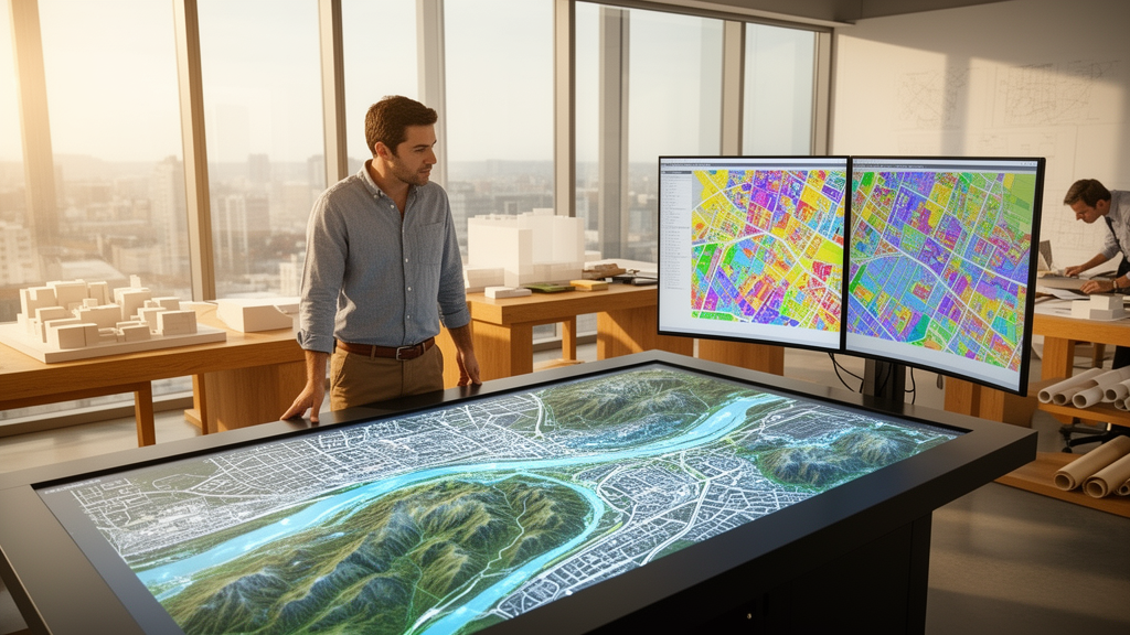
Researchers evaluating spatial planning methodologies have determined that integrating artificial intelligence into geodesign enhances territorial data analysis and environmental modeling while introducing critical challenges in data reliability, interpretability, and ethical governance. Published in Frontiers of Urban and Rural Planning, the review examines the evolution of geospatial design from early geographic information systems into modern computational frameworks. Geodesign combines geography with design methodologies, utilizing systems thinking and digital technologies to facilitate interdisciplinary planning across complex physical landscapes. The study evaluates how computational approaches build upon foundational frameworks to support empirical diagnosis of existing territorial conditions and generative design of future spatial modifications. Crucially, the authors establish that computational tools function to augment human expertise rather than supplant the contextual judgment of planning professionals.
The foundational roots of geodesign trace back to the 1960s with the development of the Canada Geographic Information System by Tomlinson, which pioneered digital infrastructure for managing vast geographically referenced datasets. This trajectory gained momentum through the Harvard Laboratory for Computer Graphics and Spatial Analysis, which pioneered computer technology in collaborative, data-driven design processes. Steinitz subsequently formalized these practices in A Framework for Geodesign: Changing Geography by Design, introducing a systematic structure based on six interconnected models comprising representation, process, evaluation, change, impact, and decision. Steinitz’s framework underscores the iterative nature of spatial planning, wherein empirical spatial data continually informs and refines proposed interventions. Concurrently, McHarg’s Design with Nature established an ecological planning paradigm that integrated natural processes through layered mapping of environmental factors including soil, vegetation, and hydrology.
Steinitz’s framework organizes spatial investigation around six core questions structuring geodesign, which the authors categorize into two operational groups: understanding the existing system and designing future changes. The first three questions establish an empirical baseline by investigating how the study area should be described across physical, cultural, and environmental dimensions, how the study area operates through its ecological functions, social dynamics, and infrastructure performance, and whether the study area is working well in sustaining its systems. The remaining three questions govern future interventions by evaluating how the study area might be altered through alternative scenarios, what impacts proposed modifications might cause across structural and environmental conditions, and how the study area should be changed through a definitive decision on implementation synthesizing all preceding analytical models.
To address questions focused on understanding existing spatial systems, planners have traditionally utilized overlay mapping, site analysis, suitability assessments, and environmental impact assessments. Overlay mapping, popularized by McHarg, layers thematic maps depicting topography, vegetation, hydrology, and land use to evaluate land suitability according to ecological principles, visually identifying areas appropriate for conservation or development. However, the review notes that traditional overlay mapping remains static and struggles to reflect temporal heterogeneities and dynamic ecological and social systems. Furthermore, conventional site suitability assessments often demand extensive labor and time while focusing too narrowly on local contexts, neglecting broader regional implications. Similarly, environmental impact assessments require complex multidisciplinary evaluations across multiple stages, yet frequently overlook cumulative impacts, creating the risk that true environmental degradation is underestimated.
For the second category concerning future interventions, practitioners have historically applied physical models, hand-drawn sketches, evidence-based planning, and participatory design. Physical models and manual sketches provided tangible three-dimensional representations helping designers and non-technical stakeholders visualize spatial forms, scales, and relationships. Nevertheless, physical artifacts are time-consuming to construct, rendering frequent modifications difficult and lacking the precision necessary for large-scale, data-driven quantitative evaluation. Evidence-based planning incorporates empirical research, such as findings examining therapeutic benefits of green spaces for mental well-being or interactions between urban morphology and community mobility, yet frequently suffers from scarce, outdated, or subjective data. Meanwhile, participatory planning processes, while intended to engage diverse stakeholders and incorporate citizen science, often face severe delays, disputes, and the danger that well-resourced vocal groups overshadow less vocal participants.
To address these methodological limitations, researchers have incorporated artificial intelligence techniques, notably deep learning models that process massive datasets and identify complex spatiotemporal patterns. Convolutional neural networks have become widely adopted for processing grid-like imagery, enabling automated land cover classification and feature extraction from satellite observations. To analyze sequential temporal trends, recurrent neural networks and long short-term memory networks capture short-term and long-term dependencies, respectively, making them highly effective for predicting time series data such as urban growth trajectories, traffic patterns, and environmental changes. Furthermore, transformer architectures have been deployed to process sequential geospatial data through self-attention mechanisms without relying on recurrence. These transformer models demonstrate powerful capabilities for integrating large-scale geospatial datasets and automating design tasks, including interpreting geographic features directly from descriptive text.
Generative artificial intelligence represents another major computational advancement examined in the review, enabling automated generation of realistic design scenarios and environmental visualizations. Generative adversarial networks, operating through competing generator and discriminator networks, are applied in geodesign to synthesize realistic urban layouts and simulate potential environmental impacts. Variational autoencoders encode and sample from a latent space to generate diverse design options, allowing planners to explore alternative landscape configurations and urban morphologies. Additionally, diffusion models iteratively refine random noise into structured images, proving effective for visualizing complex physical phenomena such as urban flood patterns. By automating the synthesis of context-aware spatial interventions, these generative models enhance creative exploration, streamline scenario development, and provide visual representations supporting data-driven decision-making in urban and environmental planning initiatives.
Complementing generative deep learning, multi-objective optimization algorithms and statistical modeling provide analytical mechanisms to balance conflicting spatial planning goals where improving one objective compromises another. The review details how statistical approaches such as ridge regression regularize coefficients to handle multicollinearity among correlated spatial variables, while multiple linear regression quantifies how factors such as land use and population density influence urban growth. Logistic regression models binary outcomes, enabling planners to categorize geographic areas as suitable or unsuitable for specific developments. To resolve complex trade-offs, geodesigners implement the non-dominated sorting genetic algorithm, an evolutionary optimization technique identifying optimal balance points among competing objectives such as infrastructure cost-efficiency and environmental sustainability. These analytical methodologies allow planners to process complex spatial datasets and make quantitatively rigorous, informed design decisions.
The practical utility of these computational approaches is demonstrated through concrete case studies across multiple planning domains compiled in the review. In land cover classification, Zhang and colleagues deployed a fully atrous convolutional neural network in Wuhan, China, achieving superior classification performance, while Chen and colleagues introduced a hierarchical convolutional recurrent neural network for multispectral remote sensing to monitor forest cover. In urban microclimate analysis, deep learning models developed by Johannsen and Oh have improved predictions of urban heat island patterns. For disaster resilience, hybrid models combining convolutional networks with traditional methods have enhanced hazard predictions for landslides, as demonstrated by Aslam, and floods, as demonstrated by Satarzadeh. In urban design, generative frameworks produce context-aware sustainable configurations, while reinforcement learning and machine learning models optimize campus sustainability and building energy performance.
Despite these technical advancements, the authors emphasize that integrating artificial intelligence into geodesign presents significant operational challenges and structural risks. A primary vulnerability is severe reliance on data, as machine learning models require extensive volumes of high-quality, accurate data to function effectively. In less developed regions, comprehensive spatial data is often scarce or non-existent, restricting model applicability. Furthermore, data quality defects, including inaccuracies, inconsistencies, and systemic biases, can distort algorithmic analyses and predictions, potentially leading to suboptimal planning outcomes. Another major challenge involves model complexity and interpretability, particularly within deep learning systems operating as opaque black boxes. This lack of transparency complicates the ability of planners to explain the rationale behind design decisions to stakeholders, obscures institutional accountability when adverse impacts arise, and impedes the iterative identification of model errors.
The review also highlights critical ethical and institutional constraints, specifically regarding data privacy, security, and algorithmic bias. Generative artificial intelligence and large models require extensive training datasets, creating heightened risks to data security because they encompass wider ranges of personal information. Moreover, complex algorithmic processing subtly alters input data, making privacy breaches less detectable and more covert than in traditional digital tools. This is particularly concerning because geodesign frequently incorporates sensitive community information and citizen science datasets. The authors also warn against over-reliance on artificial intelligence, noting that excessive dependence on automated systems risks diminishing professional expertise, stifling human creativity, and perpetuating historical biases leading to inequitable spatial outcomes. Finally, prohibitive capital costs for developing and maintaining artificial intelligence infrastructure, combined with specialized skill shortages, pose severe obstacles for smaller planning organizations.
In their synthesis, the authors conclude that artificial intelligence must serve as an augmenting tool rather than a replacement for human expertise in geodesign. Because artificial intelligence algorithms excel at specific analytical tasks but lack contextual flexibility and nuanced ethical judgment needed to resolve ambiguous real-world planning conflicts, human professionals must guide the design process. The authors advocate for responsible, transparent, and equitable integration of artificial intelligence, emphasizing that algorithmic accountability, data privacy, and fair outcomes must take precedence in planning discussions to maintain public trust. As geospatial technologies continue to evolve, urban and environmental planners must commit to continuous learning and adaptation to establish rigorous best practices. Ultimately, realizing the transformative potential of geodesign requires a balanced approach combining technological innovation with human oversight, ethical safeguards, and robust stakeholder collaboration to build sustainable, resilient, and inclusive urban environments.
Subject of Research: Integration of artificial intelligence into geodesign frameworks and spatial planning
Article Title: Geodesign in the era of artificial intelligence
Article References: Ye, X., Huang, T., Song, Y., Li, X., Newman, G., Lin, Z., & Wu, D. J. (2025). Geodesign in the era of artificial intelligence. Frontiers of Urban and Rural Planning, 3(1), Article 4. https://doi.org/10.1007/s44243-025-00054-5
Image Credits: AI Generated
DOI: 10.1007/s44243-025-00054-5
Keywords: geodesign, artificial intelligence, spatial planning, deep learning, geographic information systems, convolutional neural networks, generative adversarial networks, land cover classification, urban heat island effect, multi-objective optimization, Steinitz framework, environmental impact assessment, model interpretability, data privacy, urban morphology, scenario generation, citizen science, building energy optimization
News Source: Blake Davidson. (November 13, 2026). Artificial Intelligence Enhances Geodesign Methods While Facing Interpretability And Data Challenges. Scienmag.