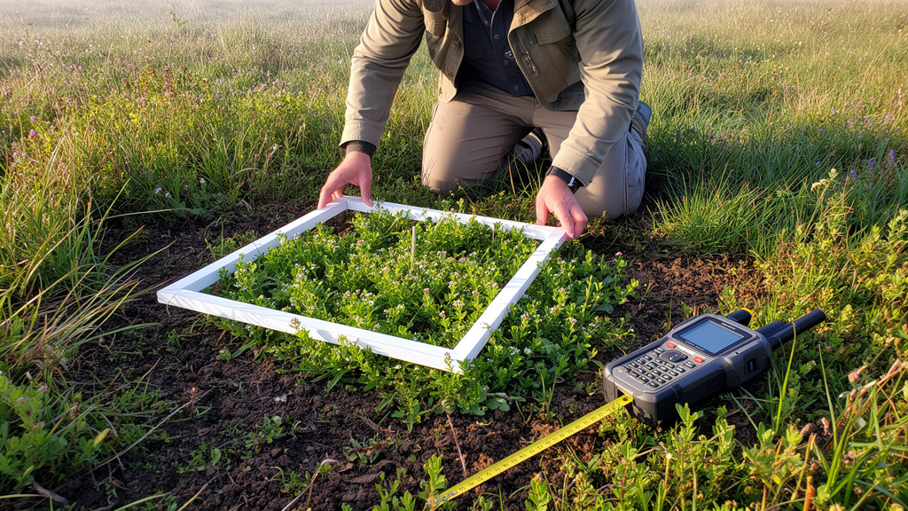
Spatial metrics routinely employed to map and monitor alien plant invasions respond in divergent ways when geographic survey records are missing, according to a controlled simulation study evaluating regional floristic atlas data. Researchers analyzed how four standard spatial descriptors—area of occupancy, extent of occurrence, number of patches, and patch cohesion—behaved as sampling completeness was systematically reduced. Rather than displaying uniform decline across all measurements, the metrics exhibited contrasting sensitivities governed by both the degree of data loss and the spatial structure of missing information. Area of occupancy remained relatively robust and predictable under progressive loss, whereas extent of occurrence and patch cohesion displayed pronounced vulnerabilities depending on whether unsampled territory was distributed randomly or clustered into contiguous geographic gaps. Furthermore, the number of patches displayed non-monotonic behaviour, artificially inflating under scattered data loss while dropping under clustered gaps. These findings demonstrate that spatial metrics cannot be treated as interchangeable proxies for biological invasion extent or range structure.
Documenting the geographic distribution of alien species is foundational to invasion ecology and conservation management, especially as biological invasions represent a principal driver of global biodiversity loss and impose substantial socioeconomic costs. Ecological management, early detection programs, and eradication efforts frequently rely on spatial distribution maps to identify spreading populations, track range expansions, and allocate containment resources. However, field biodiversity surveys are rarely exhaustive or uniformly conducted across broad geographic regions. In practice, most available distribution datasets reflect uneven sampling effort, historical recording concentrations, and accessibility constraints along transportation corridors or near populated settlements. When non-detections in poorly surveyed zones are inadvertently treated as confirmed biological absences, the resulting maps can misrepresent both the overall spatial extent and the internal spatial configuration of an invading taxon. Despite widespread recognition of survey bias in ecological modeling, the precise quantitative consequences of missing spatial information on grid-based range metrics have rarely been evaluated within controlled empirical designs.
Within conservation and invasion biology, area of occupancy (AOO) and extent of occurrence (EOO) serve as standard metrics for characterizing geographic distributions and informing formal conservation assessments. Although frequently interpreted as comparable indicators of range size, they measure fundamentally distinct spatial properties. Area of occupancy quantifies the actual surface area of grid cells documented as occupied within a standardized coordinate framework, reflecting the direct footprint of recorded presences. Conversely, extent of occurrence defines the outer perimeter enclosing all documented occurrences, typically calculated via a minimum convex polygon, and often spans vast uninhabited tracts between distant peripheral locations. For alien plant species, interpreting these metrics requires notable caution because introduced taxa are rarely in ecological equilibrium with recipient environments. Factors including introduction history, minimum residence time, propagule pressure, dispersal limitations, and active management shape documented distributions alongside environmental suitability. Consequently, atlas-derived range metrics describe documented spread across surveyed cells rather than potential ranges or habitat suitability.
Beyond metrics measuring overall spatial extent, landscape ecology provides spatial configuration descriptors that characterize how recorded occurrences are arranged across the landscape. The number of patches (NP) and patch cohesion (COH) quantify spatial subdivision and physical connectivity, offering valuable insights into whether populations exist as contiguous core distributions or fragmented colonies. When calculated on standardized spatial grids, patchiness metrics define connectivity based on cell adjacency, such as a four-neighbour rook rule where grid cells must share a common edge to be considered part of the same patch. In this setting, the number of patches tracks the count of distinct spatial components, while patch cohesion reflects physical connectedness among occupied cells, declining as occurrences become isolated. Incomplete survey coverage can alter these configuration metrics without any real-world change in ecological distributions. Missing data can artificially bisect continuous distribution blocks into multiple smaller fragments or eliminate isolated peripheral components, altering perceived landscape geometry through sampling artifacts alone.
To evaluate metric behaviour, the study utilized the systematically surveyed regional atlas of the alien vascular flora of Lazio in central Italy, compiled by Lucchese. The cartographic framework followed the Central European Floristic Cartography (CFCE) system, which establishes standardized quadrant units of approximately 38.5 square kilometres as operational survey cells. Insular cells were removed to avoid artificial spatial discontinuities introduced by open sea barriers, resulting in an analytical domain of 532 land grid cells covering approximately 20,482 square kilometres. The underlying dataset incorporated decades of rigorous multi-seasonal field surveys alongside verified herbarium and literature records, ensuring both recorded presences and surveyed absences across habitats. From this flora, the researchers examined 272 alien vascular plant taxa comprising more than 9,000 species-by-cell presence records, strictly excluding cryptogenic taxa, unconfirmed species, regionally alien plants that are native nationally, and records lacking precise grid assignment. The selected taxa were categorized by invasion status into 144 casual, 99 naturalised, and 29 invasive plant species.
Starting from this standardized empirical baseline, the researchers simulated progressive reductions in sampling completeness using an experimental design that kept the underlying species-by-cell presence matrix entirely fixed. By altering only the availability of surveyed grid cells, the simulations decoupled the effects of spatial information loss from real biological processes such as colonization, local population extinction, or climatic shifts. Completeness levels were reduced from 100 percent down to 10 percent in progressive 10 percent decrements, representing missing information proportions ranging from zero to 90 percent. Two contrasting loss mechanisms were implemented: a random removal scenario, where cells were eliminated uniformly across the region, and a clustered removal scenario, where missing cells were spatially aggregated around designated cluster centres. Preliminary evaluations indicated that spatial patterns stabilized when four to six aggregation centres were applied, prompting the authors to fix five cluster centres as a realistic representation of aggregated survey gaps. Each scenario and incompleteness tier was iterated through 100 independent simulation replicates.
Across the tens of thousands of recalculated distributions generated by the simulation framework, the team computed four spatial metrics: area of occupancy, extent of occurrence, number of patches, and patch cohesion. Extent of occurrence and patch cohesion required minimums of three and two occupied cells, respectively, with non-qualifying distributions treated as missing values. Each recalculated metric was expressed as a percentage of its original baseline value from the fully surveyed atlas to track relative retention across decreasing sampling levels. To summarize robustness across the entire completeness spectrum, the authors calculated a normalized retention Area Under the Curve (retention AUC) on a 0 to 100 scale using trapezoidal integration for area of occupancy, extent of occurrence, and patch cohesion. Number of patches was intentionally omitted from AUC integration because its non-monotonic trajectory means higher values indicate artificial fragmentation rather than sustained metric robustness. Statistical evaluations were performed in R version 4.3.2 using dplyr, tidyr, ggplot2, and FSA for Dunn tests.
The simulated metric trajectories revealed profound differences in response to progressive data loss. Area of occupancy displayed a gradual decline that differed minimally between random and clustered removal, consistently retaining more than 50 percent of its baseline value even under severe data reductions. Because area of occupancy scales directly with the count of retained occupied cells regardless of spatial arrangement, it maintained high predictability. In sharp contrast, extent of occurrence and patch cohesion proved exceptionally sensitive to the spatial pattern of missing data. Extent of occurrence suffered steeper declines under clustered removal, retaining only about 55 percent of its initial value at 50 percent sampling completeness, compared to approximately 70 percent under random removal. Patch cohesion exhibited the reverse vulnerability: at 50 percent completeness, cohesion retained approximately 63 percent under random removal but preserved roughly 82 percent under clustered removal. Meanwhile, the number of patches surged to approximately 140 percent of baseline at 10 percent completeness under random removal, while collapsing to approximately 60 percent under clustered removal.
Metric robustness also varied significantly across invasion-status categories, reflecting the differing spatial configurations associated with consecutive stages of the invasion process. Invasive plant species, which typically occupy extensive core areas and form spatially continuous distributions across the landscape, exhibited significantly higher retention AUC values for extent of occurrence and patch cohesion than naturalised or casual taxa. Under clustered removal, mean retention AUC for extent of occurrence reached approximately 65 to 70 percent for invasive taxa, whereas naturalised species averaged roughly 45 percent and casual species dropped to 30 to 35 percent. Patch cohesion demonstrated a parallel pattern, with invasive species maintaining retention AUC values near 85 percent, compared to 65 to 70 percent for naturalised and 50 to 60 percent for casual species. Statistical testing confirmed significant pairwise differences among invasion categories for extent and cohesion. In contrast, area of occupancy retention AUC remained above 60 percent across all groups, exhibiting minimal separation among casual, naturalised, and invasive categories.
These findings carry vital practical implications for biodiversity monitoring and ecological management, while establishing clear boundaries for interpreting atlas data. The authors emphasized that grid-based spatial metrics describe documented occurrences within a defined spatial resolution; they do not estimate environmental suitability, potential geographic distributions, or imperfect detection probabilities, which require predictive species distribution models or occupancy modeling. The experimental design was grounded in controlled information loss from a static historical matrix, without accounting for temporal population shifts or variable observer detection rates across complex terrain. Furthermore, while the Lazio atlas provided an ideal regional baseline, testing these dynamics across additional biogeographic realms and taxonomic groups remains necessary. Nevertheless, the results provide clear guidance for conservation practitioners: area of occupancy represents a dependable, stable descriptor for tracking documented spread over time, whereas extent of occurrence, patch count, and patch cohesion must be interpreted with caution whenever survey completeness is uncertain or data gaps follow clustered geographic distributions.
Subject of Research: Robustness of spatial distribution and configuration metrics under simulated information loss in alien plant atlases
Article Title: Robustness of spatial metrics under controlled information loss in alien plant distributions
Article References: Pinzani, L., & Ceschin, S. (2026). Robustness of spatial metrics under controlled information loss in alien plant distributions. Landscape Ecology, 41(10), Article 182. https://doi.org/10.1007/s10980-026-02442-8
Image Credits: AI Generated
DOI: 10.1007/s10980-026-02442-8
Keywords: alien vascular plants, spatial metrics, area of occupancy, extent of occurrence, number of patches, patch cohesion, sampling completeness, biological invasions, floristic atlas, Lazio flora, information loss, spatial configuration, invasion ecology, retention AUC, landscape ecology, Central European Floristic Cartography
News Source: Drew Townsend. (November 20, 2026). Alien Plant Spatial Metrics Vary in Reliability Under Simulated Incomplete Sampling. Scienmag.