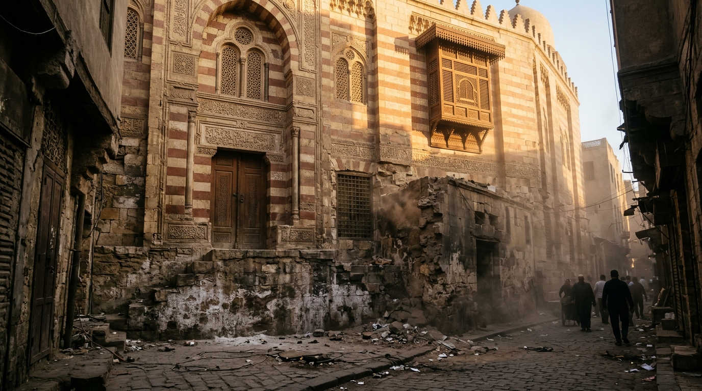
Researchers investigating urban livability in historic Cairo have established a multidimensional framework to measure how conservation policies interact directly with everyday community wellbeing. Focusing on the historic Religious Complex Area in Al-Fustat, the case study evaluated the intersection of heritage preservation and urban quality of life across five distinct dimensions: urban, mobility, socio-cultural, economic, and environmental. The investigation documented a substantial divide in local performance, demonstrating that while communal identity, social cohesion, and architectural appreciation achieved exceptionally high satisfaction scores, localized environmental conditions—marked by severe deficits in green canopy coverage, persistent particulate air pollution, and an absence of clean energy infrastructure—lagged substantially behind all other assessed indicators.
The study sought to resolve a long-standing structural deficit in national heritage management practices, which historically concentrated on the physical restoration of isolated monuments while largely overlooking the socio-economic and environmental needs of surrounding resident populations. In living heritage districts characterized by overlapping religious, touristic, and dense residential activities, interventions focused solely on monuments risk generating fragmented and exclusionary spatial outcomes. To address this challenge, the authors developed a systematic assessment matrix comprising 30 specific indicators across the five primary domains, translating qualitative field diagnostics into standardized numerical indices to evaluate whether conservation efforts reinforce or undermine community quality of life.
To construct a robust weighting foundation for the evaluation matrix, the research team conducted a structured expert consultation survey with 36 regional specialists in urban planning and heritage management. The experts applied five-point Likert scales to evaluate the relative importance of each dimension in the context of Egyptian historic districts. Descriptive statistical analysis revealed that the urban dimension was prioritized above all others, capturing 34.21 percent of the total relative weight due to the critical necessity of basic infrastructure, utilities, and building conservation. The socio-cultural dimension accounted for 20.51 percent, closely followed by the economic dimension at 19.63 percent. The environmental and mobility dimensions received lower baseline weights of 12.98 percent and 12.66 percent, respectively, reflecting expert prioritization of basic structural stability and livability within developing urban contexts.
The empirical research was situated within the Religious Complex Area of Al-Fustat in Old Cairo, an urban quarter spanning a core historical footprint of approximately 1.12 square kilometers and an extended study area of 3.22 square kilometers incorporating adjacent public redevelopment works around Ain El-Sira Lake. The area represents Africa’s first Islamic capital, founded in 641 AD by Amr Ibn Al-As near the Roman-era Babylon Fortress, and preserves an extraordinary concentration of Abrahamic monuments, including the Hanging Church, Saints Sergius and Bacchus Church, St. George’s Church, Ben Ezra Synagogue, the Amr Ibn Al-As Mosque, and the Coptic Museum. The surrounding district contains dense residential quarters housing roughly 250,313 residents based on 2017 census data, alongside active clusters of traditional craft production such as the Potters’ Village, Darb 1718, and the Fustat Market.
The researchers deployed a dual-track, mixed-methods evaluation protocol combining objective on-site field surveys conducted in January 2025 with an extensive community questionnaire. The field assessment evaluated each indicator against predefined qualitative benchmarks scaled from low (coded as 1) to moderate (coded as 2) and high (coded as 3). Physical inspections documented pronounced spatial disparities between the northern sector, which follows a modern planned grid with multi-story buildings often exceeding six floors, and the southern sector, which features a dense, irregular historic fabric with three- to six-story structures experiencing severe structural deterioration, particularly near the Tenth of Ramadan Bridge. Baseline measurements established that functional, accessible green space accounted for only 0.08 square kilometers, representing just 2.5 percent of the total study area, while essential educational and health services remained concentrated along outer urban peripheries.
Complementing the researchers’ direct physical audit, a structured community survey engaged 103 purposively sampled stakeholders across the district, including 46.6 percent permanent residents, 31.1 percent visitors, 12.6 percent heritage specialists, and 9.7 percent local workers. Demographic analysis confirmed a balanced cohort comprising 60.2 percent male and 39.8 percent female participants, spanning varied educational levels and occupations across the private sector, public service, self-employment, and student bodies. Survey items gathered quantitative responses through five-point Likert scales alongside categorical diagnostic inquiries, which were mathematically converted into equivalent three-point scales to ensure direct computational parity with the researchers’ observational scores.
Data processing and statistical validation carried out in Stata confirmed the rigorous internal consistency of the survey instrument, with Cronbach’s alpha coefficients ranging between 0.738 and 0.91 across all dimensions, well exceeding the standard reliability threshold of 0.6. The overall composite score calculated from the community survey reached 65.76 percent of the maximum potential improvement range, closely mirroring the researchers’ independent field assessment of 64.70 percent. This minimal divergence of approximately one percentage point validated the conceptual integrity and applicability of the indicator matrix while illustrating subtle interpretive variances between expert technical assessments and the daily lived experiences of neighborhood inhabitants.
Detailed dimensional scoring highlighted substantial divergence across sectors. In the community evaluation, the socio-cultural dimension achieved the highest rating at 79.96 percent of its potential improvement range, driven by an overwhelming 91.26 percent of respondents reporting a profound sense of local belonging, coupled with active participation in cultural and religious activities. The mobility dimension followed at 75.97 percent, supported by strong satisfaction with primary arterial roads like Al-Fustat Road and access to the regional transit network, although participants cited severe shortages of parking and an absence of protected cycling corridors. The urban dimension scored 64.29 percent, reflecting dissatisfaction with informal building expansions and unmaintained facades, while the economic dimension recorded 60.87 percent, constrained by low household incomes, modest small-enterprise support, and persistent urban unemployment, which CAPMAS reported at 9.6 percent nationally for urban areas in 2024.
The environmental dimension ranked lowest across both assessments, recording 44.63 percent among community respondents and 42 percent in the researchers’ audit. Both evaluations cited intense vehicular exhaust pollution, the total absence of renewable energy applications, and acute open-space scarcity. The study contextualized these findings with national air monitoring data indicating an annual average fine particulate concentration (PM2.5) of 39.77 micrograms per cubic meter in 2024, far exceeding World Health Organization health guidelines. Although the ongoing construction of the 500-feddan Al-Fustat Hills Park is projected to eventually raise landscaped green coverage to nearly 46 percent of the broader 3.22-square-kilometer zone, current liveability remains heavily constrained by unmitigated environmental degradation.
Pearson correlation analysis conducted on the survey data revealed statistically significant positive associations at the p < 0.01 level across all evaluated domains when tested against a consolidated Heritage Dimension within a 95 percent confidence interval. The strongest correlations were observed between heritage management and the urban dimension (r = 0.7891), mobility (r = 0.7673), and socio-cultural cohesion (r = 0.6984). Conversely, the associations with economic performance (r = 0.5899) and environmental resilience (r = 0.5651) were moderate. These statistical relationships confirm that while heritage conservation effectively shapes physical space and civic pride, its capacity to stimulate local economic returns and ecological sustainability is not automatic, requiring deliberate, coordinated policy interventions.
The authors contextualized their empirical findings against comparative international and regional heritage cities, including Zurich, Vienna, Copenhagen, Rabat, and Tunis. European models demonstrated that mature institutional frameworks, stable public financing, and strict regulatory zoning enable successful adaptive reuse while safeguarding environmental standards, albeit with risks of suburban sprawl and commercial gentrification. In contrast, regional Arab examples illustrated the operational tensions between ambitious state-led revitalization and localized socio-economic constraints. The analysis positioned Al-Fustat as an emerging, project-oriented regeneration model—exemplified by landmark investments such as the National Museum of Egyptian Civilization and Ain El-Sira Lake—that has achieved visible spatial modernization but has yet to establish an institutionalized, community-centered governance apparatus.
In evaluating the broader applicability of their findings, the authors documented several methodological limitations, including the reliance on a single case study site and a sample size of 103 survey respondents, which, while statistically verified, warrants expansion in subsequent research across diverse demographic subsets. Furthermore, the aggregation of ordinal Likert scales into mathematical mean scores serves as an indicative baseline for relative comparison rather than an absolute interval measurement. The researchers concluded that enduring urban quality of life across Egypt’s historic quarters requires institutionalizing participatory governance under Egypt Vision 2030, reinforcing traditional craft economies, enforcing urban harmony codes, and systematically integrating environmental targets into future heritage management strategies.
Subject of Research: Urban quality of life assessment in Old Cairo heritage areas
Article Title: Towards enhancing urban quality of life in egypt’s heritage areas: a case study of the religious complex Area in Al-Fustat, Old Cairo
Article References: Osman, M. S., Amin, M. K., & Al-Sherbiny, M. A. (2026). Towards enhancing urban quality of life in egypt’s heritage areas: a case study of the religious complex Area in Al-Fustat, Old Cairo. Journal of Umm Al-Qura University for Engineering and Architecture, 17(4), 1108-1138. https://doi.org/10.1007/s43995-025-00283-1
Image Credits: AI Generated
DOI: 10.1007/s43995-025-00283-1
Keywords: urban quality of life, Old Cairo, Al-Fustat, heritage management, Religious Complex, urban planning, mixed-methods research, historic preservation, community survey, environmental quality, urban mobility, socio-cultural identity, traditional crafts, Pearson correlation, Stata analysis, Al-Fustat Hills Park, Ain El-Sira Lake, Egypt Vision 2030
News Source: Denise Maddox. (November 20, 2026). Old Cairo Heritage Study Reveals Sharp Divide Between Cultural Pride and Environment. Scienmag.