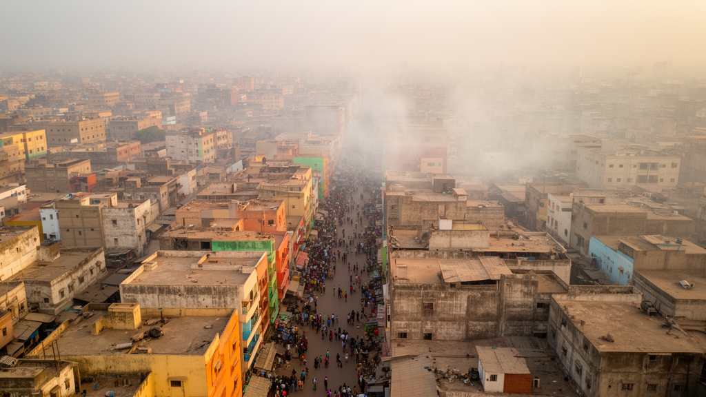
The study, conducted in the municipalities of Hann Bel-Air and HLM, utilized a multidimensional framework that integrates residential exposure, health sensitivity, and adaptive capacity to capture fine-grained disparities at the neighbourhood level. Ambient air pollution represents an increasingly significant public health concern in West African urban centers, yet historical efforts to document socio-spatial inequalities in vulnerability have been hampered by the absence of comprehensive, disaggregated data. By constructing this index through min–max normalisation and equal aggregation of indicators, the research team aimed to provide a robust tool for identifying local vulnerability patterns to inform future place-based public health strategies.
The methodological approach relied upon integrating proxy-based residential exposure, derived from traffic-related indicators and population density, alongside measures of health sensitivity and adaptive capacity. This composite index was spatialised at the neighbourhood level, leveraging a combination of household survey data with secondary demographic, transport, and environmental information. By moving beyond coarse spatial scales, this approach allowed for a more granular understanding of how environmental hazards intersect with social determinants of health.
The study results indicate that high levels of vulnerability are concentrated in densely populated neighbourhoods characterized by significant socio-economic insecurity. These vulnerable areas are notably situated along major transport arteries and in regions resulting from the fragmentation of traditional village structures in Hann Bel-Air. The mapping of these patterns provides empirical evidence of how socio-spatial inequalities are manifested in the urban landscape of Dakar, underscoring the disproportionate burden borne by specific communities.
Conversely, the index revealed that vulnerability is lower in certain residential estates with more affluent populations, even in instances where reported proxy-based exposure scores or underlying health problems are higher. This inverse relationship is attributed to the greater adaptive capacity inherent in more affluent populations, which serves as a protective mechanism against the deleterious effects of air pollution. Such a finding underscores that exposure levels alone do not determine health vulnerability; rather, the interaction between environmental hazards and the socioeconomic status of the population plays a critical role in shaping outcomes.
The spatialised vulnerability index developed in this study demonstrates the significant value of incorporating health sensitivity and adaptive capacity alongside conventional exposure metrics. By capturing these complex dimensions, the framework offers an innovative analytical tool for urban planning and public health interventions in African settings. The study emphasises that addressing environmental hazards requires an integrated approach that also tackles the underlying social determinants of health and promotes locally situated resilience.
These findings provide a foundation for targeted public health planning, enabling authorities to identify specific neighbourhoods where interventions are most needed to address both environmental exposure and the social factors that exacerbate vulnerability. The research underscores the critical importance of using disaggregated, high-resolution data to reveal inequalities that would otherwise remain masked by aggregated city-wide metrics.
In summary, this research highlights that socio-spatial factors, including density, socio-economic status, and residential structure, are key determinants of health vulnerability in the face of air pollution. The study illustrates that the experience of pollution is not uniform across an urban landscape, but is heavily influenced by the capacity of different communities to adapt to and mitigate these environmental risks.
Subject of Research: Urban air pollution-related health vulnerability and socio-spatial inequality
Article Title: Air pollution-related health vulnerability index assessment: a multidimensional approach highlighting socio-spatial inequalities in urban Dakar
Article References: Sow, M. O., Sy, I., Bonnet, E., Rican, S., Bochaton, A., Niang, A., Vaillant, Z., & Hellequin, A.-P. (2026). Air pollution-related health vulnerability index assessment: a multidimensional approach highlighting socio-spatial inequalities in urban Dakar. International Journal of Health Geographics. https://doi.org/10.1186/s12942-026-00480-8
Image Credits: AI Generated
DOI: 10.1186/s12942-026-00480-8
Keywords: Air pollution, Public health, Dakar, Urban health, Socio-spatial inequality, Health vulnerability index, Adaptive capacity, Environmental health, Socio-economic factors, Senegal, Urban planning, Residential exposure, Health disparities, Population density, Place-based strategy
News Source: Kayla Dunham. (November 18, 2026). Multidimensional Index Reveals Air Pollution Health Vulnerability Patterns in Dakar. Scienmag.