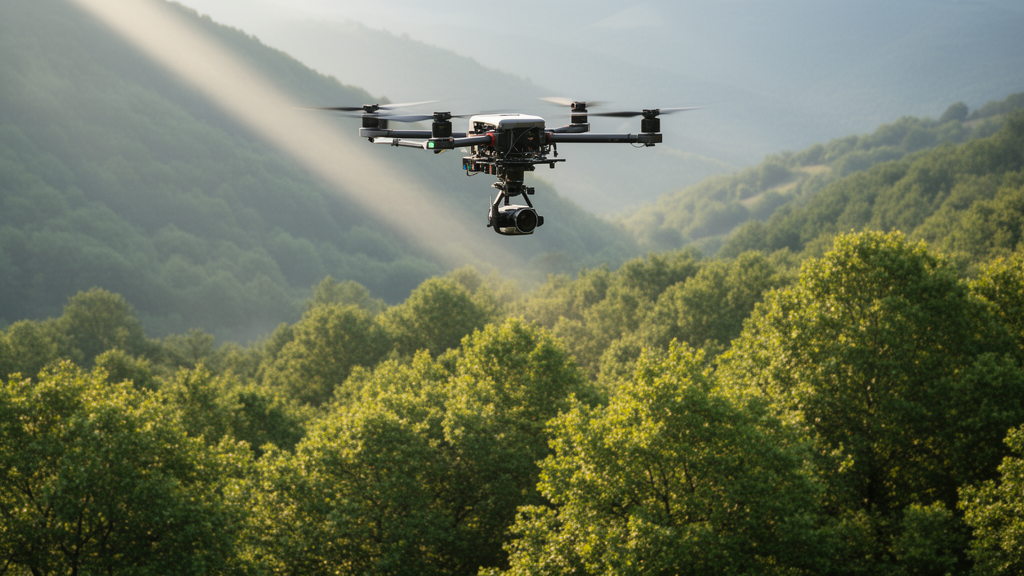
A multi-temporal forest monitoring dataset has achieved single-tree resolution by combining unmanned aerial vehicle laser scanning and multispectral imaging across European beech stands in central Italy. Published in Annals of Forest Science, the Tree-LiMS dataset captures the structural and phenological trajectories of individual European beech (Fagus sylvatica L.) trees in the Alpe di Catenaia range. Designed to provide empirical data for ecological research and silvicultural assessment, the resource tracks seasonal transformations in canopy morphology alongside physiological indicators under contrasting forest management regimes. By moving beyond stand-level averages, the open-access database establishes a standardized observational framework that pairs three-dimensional crown architecture directly with multi-band optical indices over time. The project documents how individual trees navigate seasonal transitions from spring leaf flush to autumn dormancy, offering an empirical baseline to investigate how silvicultural interventions alter canopy growth, light competition, and photosynthetic dynamics at the scale of single organisms.
Understanding tree canopy architecture and seasonal phenological rhythms is essential for assessing forest ecosystem functioning, carbon uptake, and environmental responses. While conventional satellite imagery and high-altitude aerial surveys have supported regional forest mapping, their relatively coarse spatial resolution limits detailed observation of individual tree crowns. In recent years, deploying unmanned aerial vehicles equipped with light detection and ranging (LiDAR) and multispectral imagery sensors has advanced forest research by resolving individual branches and foliage layers. Laser scanning systems generate dense three-dimensional point clouds that capture the geometric configuration, height distribution, and volumetric properties of canopies with high precision. Concurrently, multispectral cameras capture spectral reflectance signatures tracking plant health, photosynthetic activity, and vegetative cycles. Integrating synchronized structural and spectral observations over successive developmental stages enables researchers to connect physical crown dynamics with the physiological behavior of individual trees, bridging canopy structure and ecosystem functioning.
The research was conducted across two designated study sites within the Alpe di Catenaia mountain range in the province of Arezzo, Italy. This mountainous environment experiences distinct meteorological patterns characterized by an annual average temperature of 9.2 degrees Celsius, with July being the warmest month, while January is the coldest, followed by December and February. Precipitation records demonstrate a monthly pattern featuring an autumn maximum in November at 165.1 millimeters and a pronounced summer minimum in July at 48.9 millimeters. From January through May, rainfall remains abundant at approximately 100 millimeters per month before decreasing rapidly toward the summer minimum. These microclimatic conditions govern the local vegetative season, establishing an ideal setting for investigating how temperate deciduous broadleaves respond to environmental cycles under managed conditions. The continuous monitoring of these plots provides the environmental context necessary to interpret structural crown modifications and phenological shifts accurately.
To evaluate how silvicultural interventions influence tree architecture and phenology, investigators monitored two study plots representing contrasting treatments within beech stands undergoing conversion from former coppice systems to high forest. Historically, coppice management relied upon agamic regeneration, where harvested trees regenerate through vegetative resprouting from stumps. The first plot, designated DIR, occupies 4,000 square meters managed under traditional silvicultural thinning, creating a stand with higher tree density. The second plot, designated SEM, encompasses 14,000 square meters representing a naturally regenerated forest stand characterized by lower tree density and larger crown sizes. Within each experimental plot, researchers analyzed exactly 54 individual European beech trees, yielding a combined total of 108 monitored trees. Comparing these two adjacent forest stands enables direct evaluation of how silvicultural intensity, thinning approaches, and spatial competition shape tree crown development, physiological responses, and phenological timing across individual trees within the managed mountain landscape.
Data collection required specialized airborne platforms flying synchronized survey missions under strictly regulated operational criteria. Laser scanning surveys utilized a DJI Matrice 350 quadcopter equipped with an integrated Zenmuse L1 LiDAR sensor, which combines a laser scanner, an RGB camera, and an inertial measurement unit. The sensor operates with a detection range of 450 meters under 80 percent reflectivity conditions, a pulse rate of 240,000 points per second in single-return mode, and a ranging accuracy of 3 centimeters at 100 meters. Multispectral acquisitions employed a DJI Mavic 3M quadcopter bearing an RGB camera and four multispectral cameras covering green (560 ± 16 nanometers), red (650 ± 16 nanometers), red-edge (730 ± 16 nanometers), and near-infrared (730 ± 16 nanometers) spectral bands at 5-megapixel resolution. Flights operated at an altitude of approximately 55 meters above the digital terrain model at 13 kilometers per hour, producing a mean LiDAR point density of 1,500 points per square meter. Drone missions occurred strictly between 10:00 and 12:00 under stable clear weather without wind, rain, or fog to avoid fluctuating light conditions.
Sensor data underwent systematic computational processing to generate aligned structural and spectral outputs. Point clouds were georeferenced, aligned, and exported to standard LAS format using DJI Terra software version 4.1.0 before being normalized against a digital terrain model. Individual trees were segmented from normalized point clouds using Trimble RealWorks software. Crown measurements, including projected crown area and crown volume, were derived by calculating convex hull polygons around single-tree point clouds using the lidR package. For multispectral workflows, images were georeferenced using real-time kinematic positioning and stitched into orthomosaics within DJI Terra. Analysts calculated five vegetation indices: Normalized Difference Vegetation Index, Green NDVI, Normalized Difference Red-Edge Index, Leaf Chlorophyll Index, and Optimized Soil-Adjusted Vegetation Index. A homogeneous core area of 400 pixels, derived from the leaf-off LiDAR crown shape on April 8, 2024, was used to extract pixel values for every individual tree and index across all flight dates.
The derived structural attributes are cataloged in an R tibble named PlantArchTraits, linking tree identifiers with acquisition dates, locations, and dimensional metrics. The inventory documents total tree height, crown base height, projected crown area, crown volume, point cloud height skewness, and peak height representing the level of maximum point density. The dataset also includes vertical leaf area density profiles in one-meter vertical segments and plant area index values measuring total aerial plant surface area per unit ground surface. Technical validation demonstrated strong consistency with field measurements and expected seasonal growth. Tree height remained stable between leaf-off and leaf-on surveys, with an error margin of approximately 0.3 meters. Across the monitoring period, trees in the traditionally thinned DIR plot were approximately 0.5 meters shorter than in SEM, matching field inventory records. Crown projection and volume showed moderate seasonal increases during summer, capturing leaf expansion and canopy development.
LiDAR pulse penetration patterns revealed significant structural differences linked directly to stand management and tree density. In the traditionally thinned DIR stand, higher stem density notably reduced laser penetration during the leaf-on period. This reduced penetration shifted the average peak height of maximum point density downward by roughly 3 to 4 meters, declining from between 19 and 20 meters during leaf-off scans to approximately 16 to 17 meters during leaf-on scans. Because of this penetration shift, defining crown boundaries during the leaf-off scan proved crucial for accurate spatial delineation. Multispectral observations in the PlantPhenoTraits dataset captured seasonal vegetative cycles across both stands. Normalized Difference Vegetation Index values began at low levels in April during early leaf emergence, rose steadily through spring green-up, and remained stable around 0.90 during summer peak photosynthesis. In late September, autumn senescence began, progressively reducing index values to approximately 0.50 by winter across both plots.
The multi-temporal granularity of Tree-LiMS enables researchers to identify subtle phenological variations among individual neighboring trees subjected to identical silvicultural management and microclimates. Detailed observations within the naturally regenerated SEM plot revealed stark developmental divergence between trees of comparable crown dimensions, exemplified by individuals designated Tree07 and Tree21. On April 15, Tree21 had already completed its leaf emergence phase, whereas neighboring Tree07 was still in early emergence. Tracking individual phenological trajectories across repeated flights provides an empirical foundation for investigating microclimatic influences, crown competition for light, and potential genetic determinants of vegetative timing. Furthermore, pairing three-dimensional crown geometries with multispectral time series allows forest modelers to evaluate how crown volume and tree height moderate structural competition under varying stand densities. These high-resolution canopy datasets also serve as calibration benchmarks for scaling airborne measurements to moderate-resolution satellite observations and validating regional ecosystem models against detailed field observations.
The Tree-LiMS collection is openly distributed through public repositories to facilitate reuse across ecological research, remote sensing, and adaptive forestry. The complete dataset is hosted on Zenodo under a digital object identifier, containing raw LAS flight files within a compressed archive alongside the structured PlantArchTraits and PlantPhenoTraits R data files and an instructional analytical script. A complementary code repository is available on GitLab, with standardized metadata cataloged on the French National Research Institute for Agriculture, Food and the Environment Geonetwork portal. Data maintenance schedules indicate that PlantArchTraits will be updated approximately every five years, while PlantPhenoTraits will be updated annually with new observations. Users must nevertheless recognize key boundary conditions, notably that observations derive from a single managed European beech forest in central Italy. Consequently, researchers must account for monospecific stand conditions and local climatic characteristics when extrapolating findings to mixed-species forests or other geographic regions.
Subject of Research: Multi-temporal drone lidar and multispectral monitoring of individual European beech trees
Article Title: Tree-LiMS: a dataset of multi-temporal UAV LiDAR and multispectral data at single-tree level in European beech (Fagus sylvatica L.) forests of the Alpe di Catenaia, Italy
Article References: Botticelli, D., Innocenti, S., Guasti, M., Mattioli, W., & Puletti, N. (2026). Tree-LiMS: a dataset of multi-temporal UAV LiDAR and multispectral data at single-tree level in European beech (Fagus sylvatica L.) forests of the Alpe di Catenaia, Italy. Annals of Forest Science, 83(1), Article 11. https://doi.org/10.1186/s13595-025-01322-6
Image Credits: AI Generated
DOI: 10.1186/s13595-025-01322-6
Keywords: European beech, Fagus sylvatica, UAV LiDAR, multispectral imagery, canopy structure, phenology, Alpe di Catenaia, forest management, NDVI, crown volume, leaf area density, plant area index, tree crown segmentation, Zenmuse L1, DJI Mavic 3M, leaf senescence, silvicultural thinning
News Source: Alan Morgan. (November 13, 2026). Drones Track Individual Beech Tree Canopy Dynamics in Italian Forests. Scienmag.