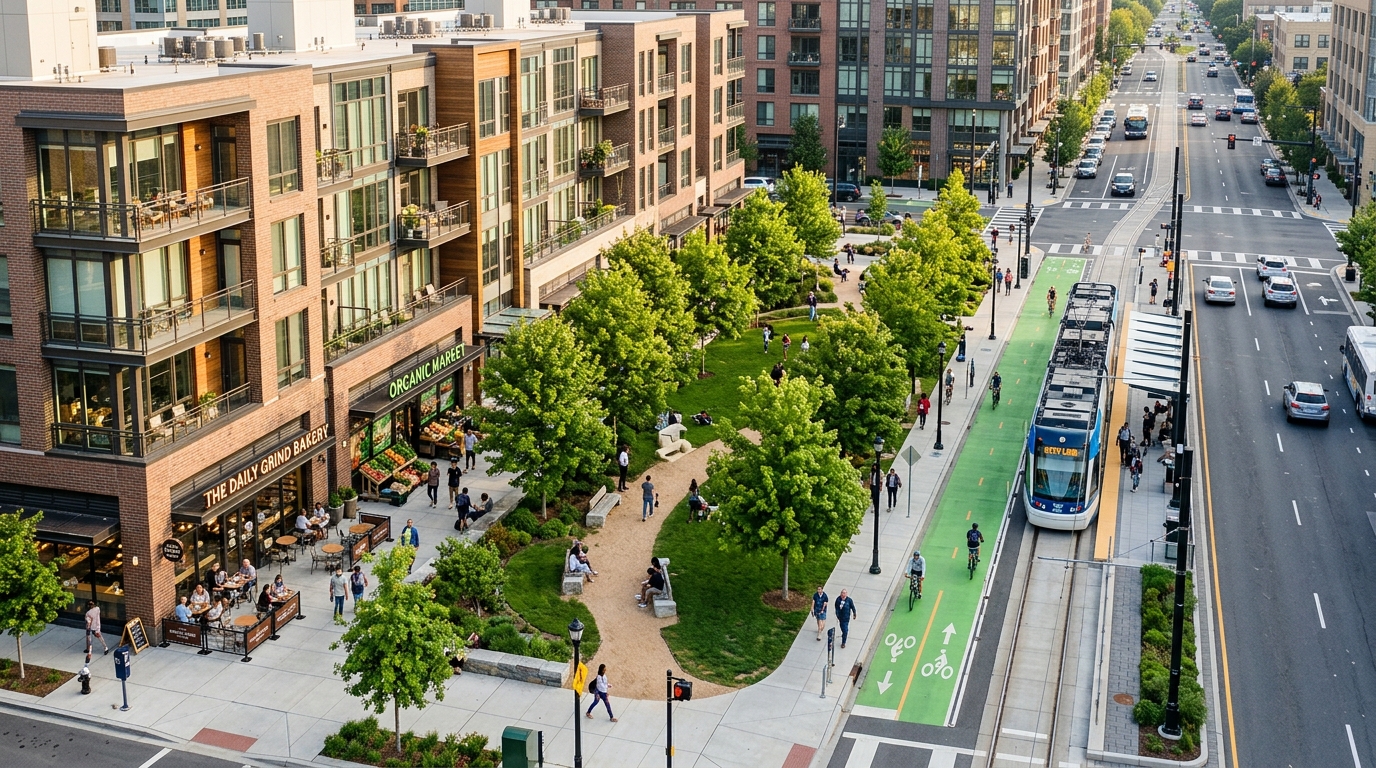
A computational investigation led by urban researchers Haithem Drici and José Carpio-Pinedo has introduced the Parcel Complementarity Model, an analytical framework demonstrating that land use mix effectiveness depends primarily on spatial configuration relative to observed human movement flows rather than the sheer co-location of diverse activities. Published in the journal Computational Urban Science, the study examines how functional synergies between urban plots operate through real-world travel interactions across the planned municipality of Tres Cantos within the Madrid metropolitan area. Urban planners have long promoted mixed-use zoning as an established paradigm to foster walkable neighborhoods, diminish vehicular dependence, and bolster local vitality under frameworks such as the fifteen-minute city. However, conventional analytical methods frequently rely on compositional metrics such as entropy scores, which measure the proportional balance or variety of land functions without assessing whether those functions interact. By reformulating land use mix as an empirical system of directional human movement, the authors demonstrate that functional complementarity is structurally governed by origin-to-destination dynamics, visit frequency, and bounded spatial proximity.
Traditional evaluations of urban land use mix have routinely depended on evenness indicators adapted from ecological biodiversity metrics, most notably Shannon’s entropy and Simpson’s diversity indices. While these metrics effectively register the mathematical distribution of different functional categories across an administrative district or spatial grid, they remain inherently indifferent to the behavioral relationships connecting those activities. Under standard entropy formulations, two distinct neighborhood zones containing identical proportions of residential, commercial, and industrial floor area receive indistinguishable diversity ratings, even if one zone experiences vibrant, cross-functional foot traffic while the other remains structurally dormant. Furthermore, many parcel-level databases compress properties containing multiple coexisting activities into a single dominant land use classification based on whichever use occupies the largest floor area. This widespread simplification obscures the operational contributions of secondary services, making it challenging for municipal authorities to determine how localized infill projects or incremental redevelopments influence the broader urban system.
To overcome these descriptive limitations, the researchers conceptualized complementarity as an asymmetric network of functional interactions defined by actual travel behavior. In real urban systems, movements between land use types are rarely reciprocal or balanced; the volume and spatial pattern of trips departing from residential zones to commercial establishments differ fundamentally from reverse journeys or secondary trip chains. For example, individuals routinely travel between primary residences and employment centers, yet workplaces do not generate identical return flows to the same origin points. Destinations frequently serve as launching locations for subsequent journeys toward retail, educational, or recreational amenities. By retaining observed origin-destination trip volumes rather than collapsing them into symmetric associations, the Parcel Complementarity Model captures directional interaction structures. This mathematical formulation treats land uses not as static spatial polygons, but as operational origins and destinations whose behavioral linkages dictate whether adjacent functions effectively reinforce one another.
The methodological framework integrates two comprehensive empirical datasets to evaluate and optimize parcel configurations across Tres Cantos, a satellite city situated twenty-seven kilometers north of Madrid. The study utilized records from the official Spanish Cadastral database, filtering spatial coordinates, cadastral boundaries, total surface plots, and exact floor area assignments across 2,591 individual parcels within the municipality. To capture corresponding behavioral patterns, the team incorporated empirical records from the regional Mobility Survey of Madrid, which encompassed 75,208 survey respondents across the metropolitan area. The travel survey combined a systematic in-person household sampling procedure carried out by 320 trained field staff with complementary telephone surveys balanced across age and gender quotas within each metropolitan transport zone. By cross-referencing precise architectural floor areas with observed travel interactions across transportation zones, the model established an empirical baseline linking parcel-scale zoning to regional human mobility.
The central evaluative metric introduced in the paper is the Parcel Complementarity Index, which decomposes spatial performance into two complementary dimensions: inter-parcel interaction and intra-parcel allocation. Inter-parcel complementarity evaluates how effectively a given parcel interacts with neighboring properties within defined distance thresholds, incorporating complementarity weights, destination visit frequency weights, and distance-decay adjacency modifiers. Complementarity weights quantify normalized origin-to-destination trip ratios, while visit frequency weights capture destination regularity based on ordinal survey classifications ranging from daily visits down to occasional or first-time trips. To model spatial proximity without requiring complex street routing simulations, the authors applied discrete Euclidean centroid buffers of zero to four hundred meters, four hundred to eight hundred meters, and eight hundred to twelve hundred meters, using a k-dimensional tree algorithm to execute rapid spatial range queries. Intra-parcel complementarity assesses whether the internal floor area ratios of multiple functions co-located within a single plot align with these same empirical behavioral weights.
Baseline assessments of the 2,591 parcels in Tres Cantos revealed significant skewness across existing urban configurations, illustrating the structural unevenness of functional complementarity under established zoning patterns. Across the entire municipal area, the median inter-parcel complementarity score stood at 0.30, while the statistical mean reached 0.65, demonstrating that average values were strongly elevated by a small cluster of highly integrated properties. Ninety percent of evaluated parcels scored below 0.96, and ninety-nine percent registered scores below 4.81, confirming that elevated complementarity remains exceptionally uncommon. The highest recorded value reached 151.84, representing an expansive municipal park surrounded by residential, commercial, industrial, office, and sports uses within the 1200-meter threshold. Multi-use parcels demonstrated substantially higher performance, exhibiting a median inter-parcel score of 1.04 compared to 0.29 for single-use parcels, and accounting for sixty percent of the top-performing properties despite representing only twelve percent of the total parcel inventory.
Despite the observable advantages associated with multi-functional properties, the baseline data revealed that high inter-parcel complementarity is not solely confined to internally mixed parcels. Large, single-use parcels situated in close proximity to actively complementary destination functions achieved elevated relational scores strictly through advantageous contextual positioning within the built environment. Conversely, intra-parcel complementarity scores remained remarkably low throughout the municipality, producing a municipal mean of 0.09 and a median of zero. This pronounced deficit reflects the historical predominance of single-use zoning designations across modern planned settlements, where approximately sixty percent of parcels are dedicated purely to residential functions, alongside segregated industrial and corporate office parks. Peripheral zones registered inter-parcel values below 0.25, characterized by dispersed, single-use structures and vacant land plots that interrupt potential functional linkages across adjacent neighborhoods.
To explore how targeted urban interventions could rectify these spatial disconnects, the authors integrated the Parcel Complementarity Index into a multi-objective evolutionary optimization workflow driven by the Non-dominated Sorting Genetic Algorithm II. The optimization specifically targeted vacant parcels, which comprise approximately four percent of all parcels in Tres Cantos, treating these undeveloped plots as functional gaps within existing neighborhood fabrics rather than isolated opportunities. The algorithm explored candidate configurations of land use types, floor areas, and spatial distributions under municipal regulatory constraints established by the local Plan General de Ordenación Urbana, including binding limits on floor area ratios, maximum ground coverage, and permitted building heights. Operating with a population size of 500 candidate layouts evolved across 100 generations, the algorithmic procedure evaluated approximately 50,000 potential allocations, systematically mapping non-dominated trade-offs along a Pareto front to simultaneously maximize inter-parcel and intra-parcel complementarity.
From the stabilized Pareto front, the researchers examined a representative balanced configuration that allocated 2.36 million square meters of functional floor area across the vacant parcels, contrasting sharply with an unguided initial generation that heavily concentrated space in parking and industrial activities. The optimized configuration allocated approximately 1.17 million square meters to residential spaces, 759,458 square meters to commercial offices, 619,000 square meters to retail commerce, 526,000 square meters to leisure and hospitality, 357,000 square meters to parking, 328,017 square meters to sports facilities, and 299,000 square meters to cultural institutions. This programmatic distribution produced pronounced, localized gains in peripheral sectors, where vacant land was clustered. In northern peripheral zones, mean inter-parcel scores rose from 0.23 to 0.96 and medians jumped from 0.02 to 0.73, while municipal-wide averages experienced modest, realistic shifts from 0.65 to 0.68, confirming that complementarity gains concentrate around active infill sites rather than dispersing uniformly.
The authors emphasize that the Parcel Complementarity Model serves primarily as an exploratory decision-support instrument for early-stage urban planning rather than an automated prescription for master planning. By evaluating potential land allocations against empirical mobility data, municipal authorities can systematically screen infill scenarios to identify configurations that actively support daily human interaction. Nonetheless, the research framework operates within specific methodological boundaries. Adjacency is modeled through centroid-based Euclidean distance thresholds up to 1200 meters rather than calibrated street network routing or pedestrian transit impedance, and the underlying survey captures origin-destination connections without tracking multi-stop activity chains or temporal shifts throughout the day. Furthermore, the model assumes static property boundaries without simulating land assembly, architectural floor layouts, or private financial feasibility. Future research will explore integrating fine-grained transport networks, economic constraints, and dynamic temporal mobility data to refine how empirical complementarity guides sustainable urban infill.
Subject of Research: Computational evaluation and multi-objective optimization of parcel-level urban land use complementarity using human mobility data
Article Title: Advancing land use mix through complementarity: the Parcel Complementarity Model (PCM)
Article References: Drici, H., & Carpio-Pinedo, J. (2026). Advancing land use mix through complementarity: the Parcel Complementarity Model (PCM). Computational Urban Science, 6(1), Article 26. https://doi.org/10.1007/s43762-026-00256-7
Image Credits: AI Generated
DOI: 10.1007/s43762-026-00256-7
Keywords: computational urban science, land use mix, parcel complementarity model, urban mobility, spatial planning, NSGA-II optimization, urban morphology, cadastral data, travel behavior, Tres Cantos, Madrid metropolitan area, multi-objective optimization, origin destination flows, built environment, spatial adjacency, infill development, visit frequency
News Source: Denise Maddox. (November 12, 2026). Urban Land Use Model Links Parcel Complementarity Directly to Observed Travel Patterns. Scienmag.