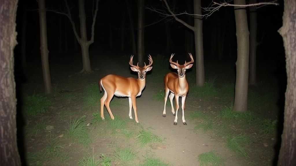
Deep in the temperate forests of Uljin County, along South Korea’s eastern coast, an unobtrusive network of infrared cameras has spent more than a year quietly recording the private lives of four wild ungulate species. The result, published in the Biodiversity Data Journal, is a meticulously curated open-access dataset documenting 4,623 independent detection events captured at 82 camera stations between April 2022 and May 2023, offering ecologists an unprecedented standardised window into how these large herbivores share both space and time in a human-dominated landscape.
The four species at the heart of the study, the long-tailed goral, the water deer, the Siberian roe deer and the wild boar, present a fascinating conservation puzzle. The endangered long-tailed goral depends on rugged, forested terrain and represents one of South Korea’s most closely monitored protected mammals. At the opposite end of the spectrum, water deer and wild boar thrive in human-modified environments, where their expanding ranges increasingly bring them into conflict with agriculture and peri-urban communities. Understanding how these ecologically contrasting animals coexist is central to community ecology and carries direct consequences for conservation planning and wildlife management.
Uljin County, spanning roughly 990 square kilometres within the Nakdongjungmaek mountain range, was a deliberate choice for the monitoring effort. The region’s terrain rises from sea level to 1,137 metres through narrow valleys and steep slopes, clothed in mixed forests of red pine and oak species such as Quercus variabilis and Quercus mongolica. Crucially, Uljin hosts the southernmost viable population of the long-tailed goral, making it a priority area for conservation-focused research. The temperate climate, with an average annual temperature of 12.5 degrees Celsius and 1,225 millimetres of precipitation, sustains year-round activity for all four species, allowing the researchers to capture seasonal variation in their movements.
The study design reflects a rigorous commitment to reducing bias. The research area was overlaid with a grid of 500 by 500 metre cells, and cameras were placed within 25 metres of each grid centroid where feasible, 52 cameras at site UJ1 and 30 at site UJ2. Reconyx HP2X infrared cameras were mounted on trees at heights of 80 to 100 centimetres, oriented parallel to the ground with a focal distance of at least three metres. Rather than using lures or baits, which can distort behaviour, the cameras were positioned along natural animal trails and operated continuously around the clock, capturing three images per trigger event without delay between successive detections.
To translate the raw photographic record into scientifically defensible data, the team applied a 30-minute independence rule, treating detections of the same species at the same camera as independent only when separated by at least half an hour. This threshold guards against pseudoreplication, the inflation of sample sizes caused by counting the same individual animal multiple times in quick succession. Survey effort totalled 29,850 functional camera-trap nights out of 30,410 scheduled nights, with 560 inactive nights accounted for by recorded downtime. The released files include a camera operation log, event-level records, station-level covariates and effort summaries, all harmonised to the GBIF Backbone Taxonomy for interoperability.
The species tally within the dataset itself reveals much about the relative abundance and detectability of each animal. The long-tailed goral dominated the record with 2,317 independent detections, followed by the water deer with 814, the Siberian roe deer with 808 and the wild boar with 684. Alongside each event, the researchers compiled station-level topographic covariates including elevation, slope, aspect and hillshade, derived from high-resolution NASADEM digital elevation data and processed with standard geospatial tools. An anthropogenic disturbance index, defined as the frequency of independent human detections at each station, was also computed to capture the intensity of human presence across the landscape.
To demonstrate the dataset’s analytical power, the authors provided two example workflows. The first applied single-species occupancy models, a standard technique for estimating the proportion of sites occupied by a species while accounting for imperfect detection. Detection histories were constructed at the station-by-season level, with season indicators and log-transformed effort in the detection component and covariates such as elevation, slope, human frequency and aspect in the occupancy component. Three candidate models were compared for each species using AICc. Notably, for the goral, a sensitivity check revealed that some occupancy parameters remained unstable and imprecise, a caution the authors emphasise: the analyses are demonstrations of reproducible workflows rather than definitive evidence of causal relationships.
The second workflow turned to the dimension of time. Using kernel density estimation of time-of-detection data, the researchers constructed continuous activity curves for each species and quantified pairwise similarity with the coefficient of overlap, employing the Delta4 estimator with 1,000 bootstrap replicates for uncertainty. The results, summarised in local clock time for the Asia/Seoul timezone, ranged from 0.653 to 0.840. The highest temporal overlap, 0.840, occurred between the long-tailed goral and the Siberian roe deer, suggesting these two species move through the forest on remarkably similar schedules. The lowest, 0.653, separated the water deer from the wild boar, hinting at more divergent daily rhythms.
Methodological care extended to how time itself was measured. Because civil clock time does not always align with actual sunrise and sunset, especially across seasons, the team complemented their clock-time analyses with a photoperiod-adjusted sensitivity analysis based on solar time, in which daylight and darkness were each standardised to twelve hours relative to site-specific sunrise and sunset times. They also reported diel-period summaries as rate-normalised detections per 100 hours, using civil twilight definitions, to correct for the unequal durations of day, night and the shorter crepuscular windows at dawn and dusk. The solar-time overlap estimates ranged from 0.633 to 0.819, closely mirroring the clock-time results and reinforcing the robustness of the temporal patterns.
The significance of this release extends well beyond the Korean Peninsula. Standardised, open-access occurrence data are increasingly recognised as critical infrastructure for biodiversity science, enabling researchers to balance the protection of endangered species against the management of over-abundant, conflict-prone wildlife. The dataset is archived under a CC0 waiver in the journal and available through the National Institute of Ecology’s EcoBank repository under a Korea Open Government License, with exact camera coordinates deliberately withheld and replaced by generalised site-level coordinates to safeguard the endangered goral from location disclosure. As the authors note, observational camera-trap data cannot alone identify the mechanisms driving coexistence; combining such records with GPS telemetry, dietary analysis and habitat measurements will be the next step. But for now, ecologists worldwide have a transparent, quality-controlled foundation on which to build, one year of forest life in one of East Asia’s most remarkable ungulate communities, freely available for reproducible science.
Subject of Research: Spatial occurrence and diel activity of four sympatric ungulate species in South Korean temperate forests assessed with a year-long camera-trap dataset
Article Title: A year-long camera-trap dataset for assessing spatial occurrence and diel activity of sympatric ungulates in South Korea
Article References: Jeon, J.-H., & Lim, A. (2026). A year-long camera-trap dataset for assessing spatial occurrence and diel activity of sympatric ungulates in South Korea. Biodiversity Data Journal, 14, Article e191556. https://doi.org/10.3897/bdj.14.e191556
Image Credits: AI Generated
Keywords: camera trapping, ungulates, South Korea, diel activity, occupancy modelling, long-tailed goral, water deer, wildlife conservation, community ecology, open data, Uljin County, temporal overlap
News Source: Margaret Porter. (October 19, 2026). Hidden Cameras in Korean Forests Reveal How Four Wild Ungulates Divide Day and Night. Scienmag.