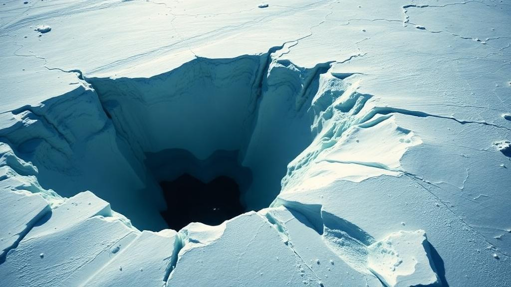
Beneath the ice of East Antarctica, a hidden lake has been caught in the act of emptying itself. Using a sophisticated radar technique that can measure millimeter-scale shifts in the ice surface from orbit, researchers have documented the rapid drainage of the Kronshtadskiy subglacial lake, a circular body of water lying near the Amery Ice Shelf. The study, published in Scientific Reports by Jihyun Moon and Hoonyol Lee of Kangwon National University, reveals that the lake lost 78.0 million cubic meters of water over a period of just a few years, with the bulk of the collapse concentrated in a single year. The finding demonstrates that even small, short-lived hydrological events beneath the ice sheet, long invisible to conventional observing methods, can now be tracked in remarkable detail from space.
Subglacial lakes are one of Antarctica’s most intriguing features. Hundreds of them have been identified over the decades, mostly through radio-echo sounding, an airborne technique that bounces radar pulses through the ice to map the bed beneath, and through satellite altimetry, which tracks the height of the ice surface over time. When a subglacial lake fills or drains, the ice above it rises or sinks like a slow-motion piston, and altimeters such as those flown on the ICESat and CryoSat missions have used this signal to catalog lake activity across the continent. Yet these instruments have a fundamental limitation: their spatial and temporal resolution is too coarse to reliably capture small lakes or events that unfold quickly. A lake spanning a few dozen square kilometers that empties over months can slip between the cracks of a global observing system designed to monitor continental-scale change.
The new study tackles that blind spot with a technique called double-differential interferometric synthetic aperture radar, or DDInSAR. Interferometric SAR, or InSAR, works by comparing the phase of radar signals returned to a satellite on successive passes over the same ground. Because the phase differences encode tiny changes in the distance between the satellite and the surface, InSAR can map surface deformation with centimeter or even millimeter precision across wide swaths of territory. Differential InSAR, or DInSAR, applies this principle to measure surface elevation change between two dates. DDInSAR goes one step further: it takes the difference between two DInSAR interferograms, which cancels out long-wavelength errors and isolates the localized deformation signal produced by a discrete event such as a lake draining beneath the ice.
To apply this method to the Kronshtadskiy lake, the researchers drew on imagery from the European Sentinel-1 radar satellites acquired between 2016 and 2021. Sentinel-1 revisits the same location every 24 days in its standard polar acquisition pattern, and by combining pairs of images with that temporal baseline the team generated a stack of DInSAR interferograms. From these they produced a total of 77 DDInSAR interferograms, each one capturing the incremental surface deformation over a 24-day window. Stacking and analyzing this dense time series allowed the researchers to reconstruct how the ice surface above the lake evolved year by year, something neither radio-echo sounding nor conventional altimetry could achieve at this level of detail.
The results show a dramatic and unambiguous event. The lake, which has a circular shape and covers an area of 61 square kilometers, underwent rapid drainage that produced pronounced subsidence of the overlying ice. At the center of the lake, the total subsidence reached 6.37 meters. Most of that sinking occurred during 2016 and 2017, when the surface dropped at a rate of 2.54 meters per year. The pace then fell off sharply, slowing to 0.88 meters per year in 2018 and to less than 0.30 meters per year during 2019 through 2021. That pattern, a burst of rapid water loss followed by a long tail of diminishing subsidence, is consistent with a lake emptying its water inventory and then stabilizing as the outflow tapered off.
Translating the measured surface deformation into a water volume, the team calculated that the drainage removed 78.0 million cubic meters of subglacial water. To put that number in perspective, it is enough water to fill tens of thousands of Olympic swimming pools, all of it moving through a plumbing system that no one can see directly, sealed beneath hundreds or thousands of meters of ice. Where that water went, and through what channels, remains an open question that radar observations alone cannot answer, but the timing and magnitude of the event now provide hard constraints for models of how water moves beneath this sector of the East Antarctic Ice Sheet.
An important strength of the study is that the DDInSAR results were cross-checked against independent satellite altimetry. Data from CryoSat-2, a European radar altimeter mission, and from ICESat-2, NASA’s laser altimeter, both confirmed the overall subsidence trend observed in the interferograms. This agreement matters because the two techniques have very different strengths and weaknesses. Altimetry provides precise point measurements of surface height but samples the ground sparsely, while DDInSAR provides dense spatial coverage of deformation but can be limited by loss of radar coherence in fast-flowing ice. The fact that the two independent records tell the same story gives confidence that the observed drainage is real and well quantified.
The location of the lake near the Amery Ice Shelf adds particular interest. This sector of East Antarctica feeds one of the largest ice shelf systems on the continent, and the ice in the region flows relatively quickly compared with the sluggish interior. Monitoring subglacial hydrology in fast-flowing polar environments has historically been difficult precisely because the rapid ice motion degrades the coherence of radar interferograms, blurring the very signals researchers want to isolate. The success of the double-differential approach here suggests that the technique can overcome that obstacle, opening the door to systematic monitoring of lake activity in dynamic outlet glaciers and ice shelf tributaries where subglacial water may influence flow speed.
Why does subglacial lake drainage matter beyond the novelty of watching a hidden lake empty? Water at the bed of an ice sheet acts as a lubricant, and changes in the distribution and pressure of that water can modulate how fast glaciers slide toward the ocean. Sudden drainage events can send pulses of water and altered basal conditions downstream, potentially affecting ice velocity and, over time, the discharge of ice into the sea. Understanding where, when, and how quickly subglacial lakes fill and drain is therefore a piece of the larger puzzle of predicting Antarctica’s contribution to sea-level rise. Techniques like DDInSAR, which can detect small and short-lived events that altimetry misses, are essential for building a complete picture of this hidden hydrological system.
The study also highlights the value of the Sentinel-1 mission for polar science. With its frequent revisit cycle, consistent acquisition strategy, and freely available data, Sentinel-1 has become a workhorse for monitoring the polar regions, and the 77 interferograms assembled in this work show how a multi-year archive can be mined for events that no one thought to look for in real time. As the radar archive grows and processing methods mature, researchers expect more discoveries of this kind: lakes filling and draining, channels opening and closing, and the slow breathing of an ice sheet whose plumbing system is gradually coming into focus. The drainage of Kronshtadskiy lake is a vivid reminder that Antarctica is not a frozen still life but an active hydrological landscape, one that satellites are now equipped to watch in fine detail.
Subject of Research: Satellite radar observation of the drainage of the Kronshtadskiy subglacial lake in East Antarctica
Article Title: Drainage of Kronshtadskiy subglacial lake in Antarctica observed by double-differential SAR interferometry
Article References: Moon, J., & Lee, H. (2026). Drainage of Kronshtadskiy subglacial lake in Antarctica observed by double-differential SAR interferometry. Scientific Reports. https://doi.org/10.1038/s41598-026-75829-x
Image Credits: AI Generated
DOI: 10.1038/s41598-026-75829-x
Keywords: Antarctica, subglacial lake, Kronshtadskiy lake, DDInSAR, SAR interferometry, Sentinel-1, Amery Ice Shelf, East Antarctic Ice Sheet, CryoSat-2, ICESat-2, subglacial hydrology, surface subsidence
News Source: Denise Maddox. (October 13, 2026). Hidden Antarctic Lake Drains Billions of Liters as Satellites Catch the Sinking Ice. Scienmag.