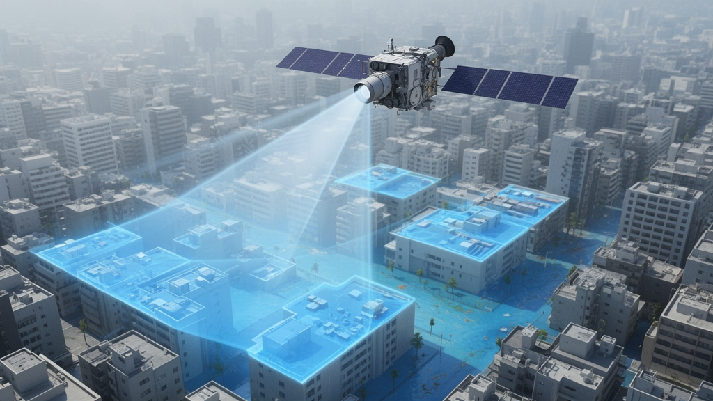
When floodwaters surge through a city, emergency managers often turn to satellites for a fast, wide-angle view of the damage. But optical satellite images have a stubborn weakness: rooftops, asphalt, and shadows can look remarkably like floodwater to the algorithms that separate wet from dry. The result is a map peppered with false alarms, where dry streets appear inundated and rescue teams waste precious hours chasing phantom floods. A new study published in the journal Earth Observations tackles this problem with a deceptively simple mathematical tweak that cuts false alarms from 38 percent to under 3 percent, using nothing more than freely available Sentinel-2 satellite data.
The research, conducted by Abdulrhman M. Almoadi of King Abdulaziz City for Science and Technology (KACST) in Riyadh, Saudi Arabia, introduces the Enhanced Normalized Difference Water Index, or ENDWI. It builds on one of the most widely used tools in remote sensing, the Normalized Difference Water Index proposed by S. K. McFeeters in 1996. The classic NDWI exploits a fundamental property of water: it reflects green light strongly but absorbs near-infrared radiation. By combining the green and near-infrared bands in a normalized ratio, NDWI produces high values over water and low values over most land. The trouble is that built-up surfaces, such as concrete roofs and paved roads, also reflect more green than near-infrared, landing in the same spectral neighborhood as water and triggering false positives across urban landscapes.
ENDWI attacks this confusion with a single additional operation: it divides the NDWI value by the green band reflectance. The logic rests on a subtle difference between how water and urban surfaces behave. Both may reflect green light similarly, but water’s strong near-infrared absorption drives its NDWI value far higher than that of rooftops or asphalt, which reflect energy in both bands. When NDWI is divided by the green band, water pixels retain proportionally larger values while non-water urban surfaces are strongly attenuated. The green band effectively acts as a suppressor of urban noise, amplifying the contrast that near-infrared absorption creates. Because the method relies only on the green and near-infrared bands, the same bands used by NDWI, it works with virtually any modern satellite or drone platform, avoiding the shortwave infrared bands that some competing indices require and that are less commonly available on low-cost sensors.
But the elegant formula came with an unexpected mathematical headache. Dividing by the green band compresses ENDWI’s raw values into an extraordinarily narrow range near zero, spanning roughly from minus 0.000412 to plus 0.000150, more than three orders of magnitude tighter than typical spectral indices. That near-zero clustering breaks Otsu’s method, the standard automatic thresholding algorithm that separates water from land by finding the optimal split in a bimodal histogram. To solve this, Almoadi invented a second novel technique called Zero-Preserving Split Normalization, or Z-Split. The method independently rescales the positive and negative portions of the ENDWI distribution to the intervals from zero to one and minus one to zero, while strictly preserving zero as the natural boundary between water and non-water pixels. The result is a cleanly bimodal histogram that Otsu’s method can split reliably. Importantly, Z-Split is not part of the index itself but a preprocessing step, and the author suggests it could benefit any bipolar spectral index suffering from similar value compression.
To test the new approach, the study turned to a dramatic real-world event. On 23 November 2018, heavy rainfall in the upstream catchment of Wadi Al-Lith triggered the partial breach of an earthen retaining dam on Saudi Arabia’s Red Sea coast. A surge of floodwater reached the urban areas of Al-Lith Governorate within roughly four hours, submerging roads and low-lying neighborhoods, with water levels exceeding 1.7 meters in some sectors after further rain on 25 November. Al-Lith’s mix of residential buildings, paved roads, bare soil, and scattered vegetation makes it a textbook example of the spectral confusion that plagues optical flood detection, since water, shadows, and built-up surfaces can appear nearly identical in multispectral imagery.
The validation design was unusually rigorous. Almoadi used Sentinel-2 imagery acquired at 10-meter resolution on 28 November 2018 as the analytical dataset, and validated results against WorldView-4 imagery pan-sharpened to 0.31-meter resolution, acquired within two days of the event. From manually digitized flooded and non-flooded polygons, buffered inward by 10 meters to avoid mixed edge pixels, the study generated 1,262 ground-truth points: 559 flooded and 703 non-flooded. That validation density, concentrated in a compact area of roughly 18 square kilometers, lends considerable statistical weight to the reported accuracies.
The results unfolded in three stages. First, a receiver operating characteristic analysis of eight raw indices, including ENDWI and seven established competitors such as MNDWI, AWEIsh, AWEInsh, WI, LSWI, and SWI, showed the shadow-aware AWEIsh leading with an area under the curve of 0.908, followed by NDWI at 0.671 and ENDWI at 0.636. Second, after Otsu thresholding, ENDWI stole the show among individual indices: it achieved the highest precision at 79.41 percent and the lowest false alarm rate at 10.95 percent, roughly half the false alarm rate of AWEIsh and about one-third that of NDWI. Third, and most strikingly, the study fused the two complementary indices using a pixel-wise maximum operation, taking whichever value, ENDWI or AWEIsh, indicated water more strongly at each pixel. AWEIsh contributed broad separability and shadow handling, while ENDWI suppressed false positives from dark impervious surfaces. The fused map, thresholded with Otsu’s method, achieved 82.65 percent overall accuracy, 94.50 percent precision, an F1-score of 76.73 percent, and a Kappa coefficient of 0.637, with only 21 false positives out of 703 non-flooded validation points, a false alarm rate of 2.99 percent.
Those numbers translate into a 15-fold reduction in false alarms compared with the classic NDWI pipeline, achieved at essentially zero additional computational cost. No deep learning models, no labeled training datasets, no extra sensors, and no multi-sensor fusion are required, just one division operation and a maximum rule that can run in seconds in standard GIS software. That efficiency matters enormously during rapid disaster response, when deep learning approaches, however powerful, demand labeled data and computational resources that are often scarce in the critical first hours after a flood. The method’s reliance on free Sentinel-2 data also makes it attractive for resource-constrained agencies in arid and semi-arid cities, where flash floods are becoming more frequent and severe as climate change intensifies extreme rainfall. Floods affected 2.3 billion people between 1995 and 2015, and between 1980 and 2009 they killed more than half a million people worldwide, making them the deadliest natural disaster type in that period.
The study is candid about its limits. It rests on a single post-event image pair from one flood event, so generalization across seasons, turbidity levels, and vegetation conditions remains unproven, though a preliminary visual check against an independent flood event reported elsewhere suggested ENDWI again outperformed NDWI. Optical methods also require cloud-free skies, and Sentinel-2’s 10-meter resolution can miss narrow urban water features. Future work, the author suggests, could explore adaptive fusion weights, additional bands such as red-edge for vegetation masking, time-series validation across multiple events, and integration with radar data for all-weather capability. Still, the core lesson is a refreshing one for a field increasingly dominated by heavyweight machine learning: sometimes a modest, interpretable change to a 30-year-old formula, applied to free data, can deliver a dramatic practical win. The code, ground-truth points, and the Z-Split Python package have been released openly on GitHub and PyPI, inviting flood mappers everywhere to put the new index to the test.
Subject of Research: An enhanced spectral water index and hybrid fusion method for reducing false alarms in satellite-based urban flood detection
Article Title: Reducing false alarms in urban flood detection: an enhanced NDWI (ENDWI) with Hybrid Max Fusion on Sentinel-2 Data
Article References: Almoadi, A. M. (2026). Reducing false alarms in urban flood detection: an enhanced NDWI (ENDWI) with Hybrid Max Fusion on Sentinel-2 Data. Earth Observation, 1(1), 43-57. https://doi.org/10.5194/eo-1-43-2026
Image Credits: AI Generated
DOI: 10.5194/eo-1-43-2026
Keywords: urban flooding, flood detection, remote sensing, Sentinel-2, NDWI, water index, Otsu thresholding, false alarms, satellite imagery, disaster response, Saudi Arabia, spectral indices
News Source: Violet Maxwell. (October 9, 2026). Satellite Flood Mapping Gets Smarter: New Index Slashes False Alarms in Cities. Scienmag.