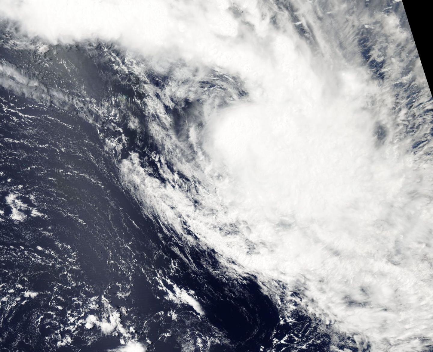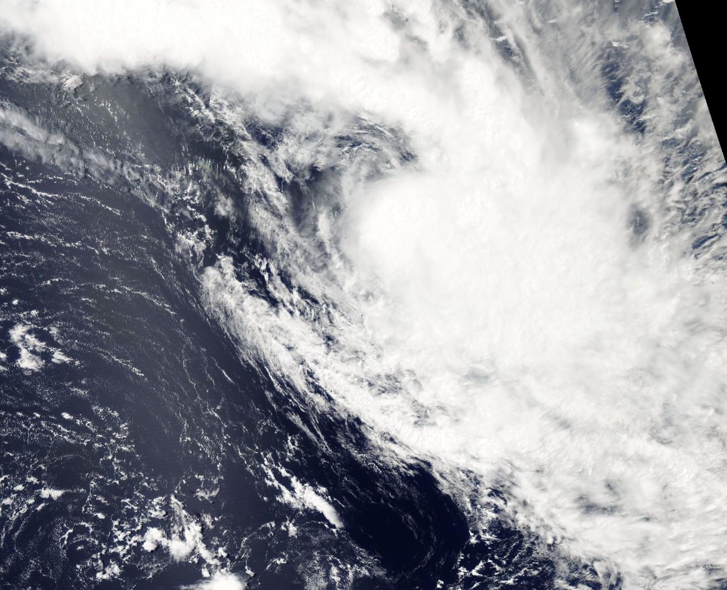
Credit: Credits: NASA Goddard MODIS Rapid Response Team
NASA's Aqua satellite spotted Tropical Cyclone Bart as it was transitioning into an extra-tropical cyclone in the South Pacific Ocean.
Bart is the second named tropical cyclone in the South Pacific Season to last under two days. Alfred was the first named storm of the season that lived and died in Australia's Gulf of Carpentaria earlier this week after a day as a tropical cyclone.
On Feb. 22, the MODIS or Moderate Resolution Imaging Spectroradiometer instrument that flies aboard NASA's Aqua satellite captured a visible image of Bart that showed wind shear continued to affect the storm. Northwesterly wind shear increased over the last day since Bart formed, and has stretched the storm out and weakened it. Thunderstorms were becoming weaker and convection (rising air that forms clouds and storms) was becoming shallow as the system accelerates into the mid-latitude wind flow pattern.
The Joint Typhoon Warning Center or JTWC issued their final warning on Bart on Feb. 22 at 0300 UTC (Feb. 21 at 10 p.m. EST). At that time Bart's maximum sustained winds were near 35 knots (40 mph/62 kph) and weakening. Bart was located over open waters of the South Pacific Ocean and far from land, about 617 nautical miles southwest of Papeete, Tahiti. Bart was speeding to the southeast at 37 knots (42.5 mph/68.5 kph) and into tropical cyclone history.
###
Media Contact
Rob Gutro
[email protected]
@NASAGoddard
http://www.nasa.gov/goddard
############
Story Source: Materials provided by Scienmag


