
Credit: Credits: NSIDC/Jeff Deems
A NASA-led team will kick off an ambitious airborne campaign to determine which combination of sensors would work best at collecting global snow-water measurements from space — critical for understanding and managing the world's freshwater resources. Scientists at NASA's Goddard Space Flight Center in Greenbelt, Maryland are providing technology to the mission.
The first winter campaign of the multi-year effort, called SnowEx, begins on February 6, said Ed Kim, the SnowEx project scientist at NASA Goddard. "SnowEx is all about challenging the sensing techniques and algorithms…until they break," he said. "Only then will we learn when and where each technique works or doesn't work and, of course, why. That's the key to finding an optimum mix for a future snow satellite mission."
Snow Water Equivalent, The Sweet Spot
Although satellites have given scientists a half-century of snow-cover maps, showing the extent of snow over the landscape, they have proven unreliable at helping scientists determine the snow-water equivalent, or SWE, which is the amount of water that the snowpack contains. Currently, SWE can be measured in the field or calculated using a combination of space-based observations and modeling.
To calculate SWE — information vitally important for water-resource managers, to say nothing of the more than a billion people worldwide who rely on snowpacks for their water — scientists use sophisticated computer algorithms and models that consider snow depth and density. However, more accurate, remotely sensed measurements are needed as input to improve the model results.
The remote-sensing measurements come from airborne or spaceborne sensors, which either receive radiation passively, or actively emit radiation directed toward the ground. The radiation then interacts with the target and subsequently is received back at the sensor. However, forests and complex topography can confound and complicate remotely sensed signals.
Consequently, multiple sensors will be flown to determine which combination of sensors works best in different snow conditions. The knowledge will be applied to formulating a space-based mission to measure snow and other features of the cryosphere globally. It also could be used to determine how measurements from missions designed for other purposes might aid in evaluating global SWE.
As for measuring SWE, each sensor offers both capabilities and limitations. Active and passive microwave sensors are useful for measuring SWE, irrespective of clouds or darkness, as long as the snow isn't wet, Kim said. Some can see shallow snow while others lose sensitivity under conditions of deep snow with a high SWE. Lidar, on the other hand, doesn't saturate for deep snow, isn't effective for shallow snow, and cannot see through clouds. All the sensors have trouble in densely forested areas, although lidar and others show much promise.
"We've never before had the opportunity to combine these specific sensors in one campaign," explained Dorothy Hall, a Michigan State University researcher and former Goddard scientist who is on the SnowEx organizing team. "We need to evaluate how each sensor performs for measurement of snowpack properties, and how they can be used together, to measure SWE accurately in different land covers."
Determining the Breaking Point
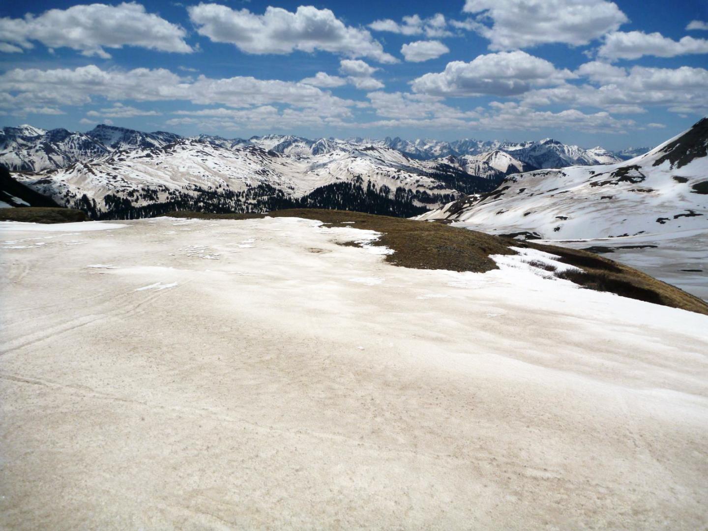
To determine the effectiveness of each remote-sensing technique, the team will begin flying multiple airborne sensors in February over Grand Mesa, Colorado. This site was selected by the NASA snow community at a meeting that was held at the University of Washington in Seattle last spring. A distinct forest-cover gradient at Grand Mesa makes it a versatile site for measuring snow in different forest densities. "It was a Goldilocks story," Kim said. "We wanted a site where there weren't too many or too few trees."
Lidar can be used to measure snow depth and SWE if the pre-snow topography and snowpack density are known. Thus, a baseline survey of the area before snow accumulates is needed. In September, the Jet Propulsion Laboratory's Airborne Snow Observatory flew a lidar to determine specific pre-snow terrain conditions. Likewise, certain radar techniques benefit from 'no-snow' baseline data. The team will fly the European Space Agency's radar, SnowSAR, in the summer of 2017 to obtain a 'no-snow' baseline.
NASA Goddard Instruments
When the campaign begins in February, the suite of SnowEx instruments will include two Goddard-contributed instruments: the passive microwave Airborne Earth Science Microwave Imaging Radiometer, or AESMIR, and the bi-directional reflectance function Cloud Absorption Radiometer, or CAR. Two thermal-infrared sensors and a video camera also will be flown.
The Uninhabited Aerial Vehicle Synthetic Aperture Radar, or UAVSAR, and the Airborne Glacier and Land Ice Surface Topography Interferometer-A, or GLISTIN-A, also will be flown to provide measurements with two experimental radar techniques. UAVSAR will attempt to sense SWE by penetrating the entire snowpack, while GLISTIN-A will attempt to sense snow depth using lidar-like techniques. In contrast, ESA's SnowSAR employs the traditional radar approach, which measures the amount of scattering that occurs within the snowpack.
Ground Truth Data Collection
A major feature of the campaign is a robust ground-truth program designed to validate sensor data, Kim said. Participation from federal partners, such as the U.S. Forest Service and NOAA, as well as from international partners from Canada, Norway, and other countries, is key to the success of this mission. Kelly Elder, a snow scientist with the Forest Service in Fort Collins, Colorado, is leading this part of the SnowEx campaign.
The big emphasis, however, remains on the airborne sensors themselves, said Charles Gatebe, who is the SnowEx deputy project scientist and principal investigator of the Cloud Absorption Radiometer that will fly during the campaign. "We need a satellite mission that can measure snow globally," he said. "We are looking for the tools."
###
For more Goddard technology news, go to: http://gsfctechnology.gsfc.nasa.gov/newsletter/Current.pdf
Media Contact
lori keesey
[email protected]
@NASAGoddard
http://www.nasa.gov/goddard
############
Story Source: Materials provided by Scienmag
