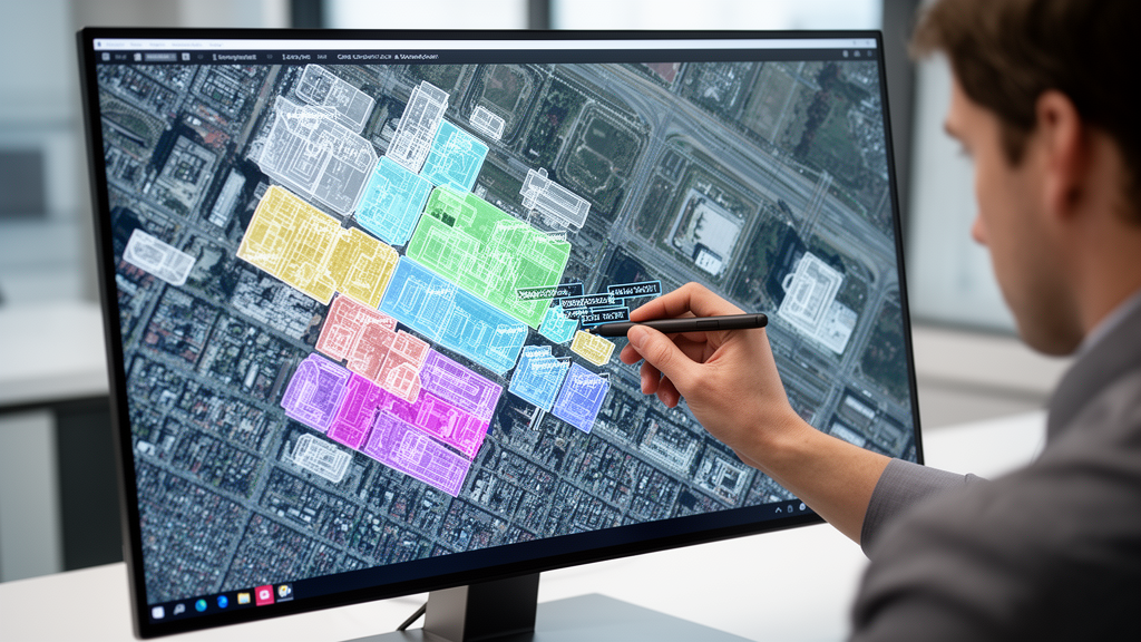
Researchers developing computer vision pipelines for aerial ecological surveys have demonstrated that a semi-supervised framework requiring only 6.4 percent of images to be manually labeled can match the classification performance of traditional fully supervised models trained on entire datasets. High-resolution aerial monitoring conducted via crewed aircraft and uncrewed aerial systems has become an essential mechanism for tracking population trends, identifying ecosystem shifts, and evaluating human environmental impacts across vast or inaccessible habitats. However, deep neural networks deployed to automate expert-level image analysis conventionally depend on large volumes of exhaustively annotated training examples. Because manual taxonomic identification by qualified wildlife biologists represents an expensive and labor-intensive bottleneck, researchers sought a systematic workflow capable of minimizing annotation burdens while preserving rigorous ecological classification accuracy.
To evaluate this challenge under operational conditions, the study analyzed an empirical wildlife recognition case study using high-resolution, object-centric aerial photographs captured over Lake Michigan and the United States Atlantic Outer Continental Shelf. The underlying aerial imagery was gathered between 2016 and 2021 by the U.S. Fish and Wildlife Service, in collaboration with the Bureau of Ocean Energy Management under the Atlantic Marine Assessment Program for Protected Species, alongside surveys conducted by APEM Ltd. to establish marine wildlife abundance baselines for offshore wind energy planning. All captured data utilized top-down perspectives across red-green-blue bands with ground spatial resolutions ranging from 0.1 centimeters to 3.8 centimeters. Initial candidate target locations were marked with bounding boxes by non-expert annotators or class-agnostic detectors, after which specialists from the U.S. Geological Survey and U.S. Fish and Wildlife Service assigned taxonomic classifications ranging from species to class levels.
The resulting curated dataset comprised 57,265 cropped object images extracted from 3,376 larger aerial scenes. Detailed statistical inspection revealed two pronounced properties characteristic of aerial wildlife surveys: substantial sample correlation caused by natural grouping behaviors, such as dense foraging flocks, and severe category imbalance forming a long-tailed distribution. Approximately 90 percent of all cropped objects belonged to the three most frequent categories. The full inventory was aggregated into eleven coarse categories arranged in descending abundance: birds with 120 subcategories; cartilaginous fishes, rays, and sharks with 38 subcategories; algae consisting of Sargassum species; bony fishes with 53 subcategories; mammals with 82 subcategories; invertebrates with 14 subcategories; artificial objects like buoys and vessels; unknown or blurry objects; non-wildlife debris; reptiles with 18 subcategories; and solar glare reflections. Non-wildlife phenomena were deliberately retained to evaluate and suppress potential false-positive detections during automated screening.
The study also documented severe morphological and spatial scale variations within the extracted targets. Height-to-width ratios spanned extreme bounds approaching 0 and 16, while absolute dimensions ranged from invertebrate crops smaller than 10 by 10 pixels to large scenes reaching 5,000 by 6,000 pixels. Because standard convolutional neural architectures require square input dimensions, conventional resizing via naive interpolation or zero-padding threatened to distort critical biological features, such as artificially broadening a slender bony fish into the profile of a ray. To preserve morphological fidelity without introducing disruptive visual artifacts, the team implemented a box expansion preprocessing step. This procedure symmetrically extended the shorter dimension of each rectangular bounding box into the tightest possible enclosing square using surrounding background image pixels, ensuring that natural organism proportions remained intact prior to network ingestion.
To overcome manual labeling dependencies, the researchers established the Semi-Supervised Aerial Imagery Recognition framework, abbreviated as SSAR, structured across three interconnected procedural stages. The initial stage performed unsupervised feature learning to distill high-dimensional raw image pixels into compact 128-dimensional representations without human annotations. While self-supervised frameworks like Momentum Contrast typically pull together augmented views of the same image while contrasting them against negative samples drawn from a memory queue, standard contrastive objectives encounter fundamental conflicts when processing repetitive aerial imagery. Near-identical individual animals photographed in close spatial proximity are routinely treated as negative pairs by standard contrastive loss functions, which forcibly disperses semantically identical representations and destabilizes the embedding space.
To correct for spatial clustering in aerial wildlife passes, the framework integrated Cross-Level Discrimination into the contrastive training pipeline. This approach evaluated inter-instance relationships relative to background dissimilarity, grouping visually similar instances into clusters and excluding intra-cluster pairs from negative sampling. Furthermore, because overhead aerial passes capture organisms in arbitrary in-plane orientations, the authors identified an orientation-induced feature dispersion that caused identical animals to occupy distant coordinates in embedding space. The researchers resolved this dispersion by applying knowledge distillation using a teacher-student model. A pre-trained teacher network pooled representations across multiple rotated versions of each image to establish orientation-invariant targets.
The second stage of the framework executed unsupervised instance selection to curate the most informative and non-redundant subset of images for human expert review. Standard random selection overlooks semantic visual distributions, whereas existing Unsupervised Selective Labeling algorithms locate density peaks and perform clustering to choose representative central samples. However, under long-tailed distributions, density peak selection consistently favors dense majority classes while overlooking rare minority categories in the peripheral tail. Conversely, Farthest Point Sampling iteratively selects points maximizing feature distances, ensuring broad dispersion but often bypassing essential central prototypes of major classes. To balance representativeness and diversity, the researchers introduced a hybrid selection strategy that allocated equal 50 percent budget portions between both methods, feeding instances identified by selective labeling into farthest point sampling to ensure comprehensive coverage across both head and tail distributions.
Following instance selection, human annotations were assigned exclusively to the chosen subset, and the entire image pool was passed into the third stage: semi-supervised classification. The classification stage leveraged the FixMatch framework, which trains simultaneously on labeled targets and unlabeled samples. For unlabeled images, the network generates predictions on weakly augmented inputs, converts confident predictions into pseudo-labels, and enforces consistency by requiring matching predictions on strongly augmented versions of the identical image. To combat the tendency of standard pseudo-labeling to favor frequent majority classes and entrench prediction bias against rare wildlife species, the architecture incorporated debiased pseudo-labeling. This mechanism dynamically adjusted confidence thresholds and reweighted training loss functions to emphasize underrepresented classes, creating a balanced classifier across skewed population structures.
Model performance was evaluated on a held-out test split comprising 20 percent of the dataset, using macro accuracy to ensure each category contributed equally to final scores regardless of instance abundance. Under fully supervised baseline conditions where all training images received manual labels, the classifier attained a macro accuracy of 85.0 percent, recording its strongest precision across dominant head and body classes while maintaining 80.0 percent accuracy on tail categories. When evaluated across reduced annotation budgets, the proposed hybrid selection model matched the 85.0 percent fully supervised benchmark using only 6.4 percent of the labels, corresponding to 2,932 annotated samples. When the labeling budget was expanded to 12.8 percent, or 5,864 samples, the hybrid framework reached 86.8 percent macro accuracy, surpassing the fully supervised performance by 1.8 percentage points due to the systematic suppression of redundant training instances.
Standard random selection trailed the hybrid method by 2.4 percentage points at the 12.8 percent budget level, with the performance deficit widening to 15 percentage points under the smallest annotation budgets, driven primarily by severe accuracy collapses within tail categories. Stratified random sampling based on ground-truth category proportions struggled on dominant head and body categories because uniform allocations failed to capture their broader morphological variability. Furthermore, while standalone farthest point sampling showed early utility under ultra-low budgets, its performance declined sharply as sample sizes grew, as excessive peripheral diversity disrupted classification boundaries. Visualizing t-distributed Stochastic Neighbor Embedding projections and confusion matrices confirmed that combining density peak selection with peripheral dispersion effectively reduced classification confusion between visually similar classes like glare and artificial targets while substantially elevating recognition of rare species.
Subject of Research: Semi-supervised deep learning and selective labeling for aerial wildlife imagery recognition
Article Title: Unsupervised Selective Labeling for Semi‐Supervised Aerial Imagery Recognition
Article References: Wang, Z., Yu, S. X., Landolt, K. L., Koneff, M. D., Pickens, B. A., Schuster, S., Fara, L. J., Murphy, A. C., Dieck, J., & White, T. P. (2026). Unsupervised Selective Labeling for Semi‐Supervised Aerial Imagery Recognition. Ecology and Evolution, 16(11), Article e73943. https://doi.org/10.1002/ece3.73943
Image Credits: AI Generated
DOI: 10.1002/ece3.73943
Keywords: wildlife monitoring, aerial imagery, remote sensing, deep learning, semi-supervised learning, unsupervised feature learning, instance selection, selective labeling, farthest point sampling, momentum contrast, cross-level discrimination, knowledge distillation, fixmatch, class imbalance, long-tailed distribution, macro accuracy, marine wildlife
News Source: Drew Townsend. (November 21, 2026). Selective Aerial Image Labeling Matches Full Supervised Accuracy Using Six Percent Labels. Scienmag.