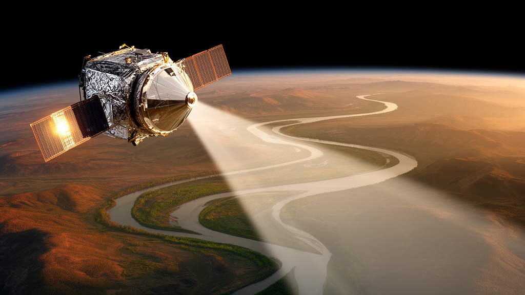
A physics-based component-wise simulation framework has successfully decomposed complex satellite radar altimetry waveforms to improve water surface elevation measurements over heterogeneous river channels. Developed by researchers at the Southern University of Science and Technology in China and published in the Journal of Remote Sensing, the physics-based component-wise simulation, known as PhysCompSim, disentangles target river reflections from lateral interference caused by surrounding floodplains, wetlands, and lakes. Evaluating the framework across 55 validation virtual stations using 20-Hertz Sentinel-3A and Sentinel-3B Level-2 synthetic-aperture radar data collected between 2016 and 2024 demonstrated a median unbiased root-mean-square error of 0.47 meters when benchmarked against daily mean in situ river gauge measurements. This precision marks a notable advance in satellite hydrology, addressing persistent tracking errors where standard processing pipelines routinely fail or discard inland water observations.
Satellite radar altimetry plays an essential role in observing continental freshwater bodies, yet monitoring narrow rivers remains inherently constrained by instrument footprint dimensions. Although the synthetic-aperture radar mode deployed on the European Space Agency’s Sentinel-3 satellites enhances along-track spatial resolution to approximately 300 meters, the pulse-limited across-track footprint continues to cover kilometers of terrain. In river valleys and extensive floodplains, this wide footprint simultaneously illuminates the primary river channel, surrounding terrestrial land, and nearby standing water bodies. Because tranquil off-nadir water surfaces act as specular reflectors, their strong echoes often overshadow and compete with nadir river returns. This competition leads to range snagging and systematic elevation biases, rendering standard empirical and analytical retrackers ineffective because they treat aggregated waveforms statistically or assume uniform surface scattering across the observation scene.
To overcome the limitations of blind statistical waveform fitting, PhysCompSim introduces a bottom-up forward-modeling and inversion strategy that treats altimetry retracking as a constrained source-attribution problem. The workflow is divided into three structured operational stages: semantic scene construction, forward physical modeling, and parameter inversion. In the initial stage, the methodology integrates satellite state vectors, a 30-meter forest- and building-corrected elevation model designated as FABDEM, and dynamic water masks from the Global Surface Water Occurrence dataset. By reconstructing the radar observation geometry within a local coordinate reference frame, the model meshes the illuminated footprint into triangular facets and semantically segments the terrain into main river channel facets, spatially disjoint interference water bodies, and dry land.
During the subsequent forward-modeling stage, the computational system independently simulates the scattering contributions generated by the primary channel and each interfering lateral water feature. These radar returns are calculated by integrating the interactions of antenna gain patterns, slant ranges, Doppler stacking characteristics, and facet surface roughness, superimposing them with the sensor’s specific system point-target responses under an incoherent scattering assumption. Synthetic parameter testing established that the timing and power amplitude of interfering signals are predominantly governed by off-nadir cross-track distance, relative elevation differences, total surface area, spatial orientation, and surface roughness. In the final stage, a separable nonlinear least-squares algorithm fits the combined synthetic waveform to actual satellite observations by decoupling time-delay shifts and roughness factors from linear amplitude parameters and receiver background noise.
The evaluation encompassed 25,213 individual radar echoes, revealing that 30.8 percent exhibited multipeak structures caused by severe surface heterogeneity and off-nadir contamination. The physics-based simulation matched observed Sentinel-3 waveforms with high fidelity, achieving a median correlation of 0.97 for single-peak returns and 0.93 for multipeak cases, alongside median normalized root-mean-square error metrics of 2.49 percent and 5.75 percent, respectively. Across all 55 validation virtual stations, the framework’s median unbiased root-mean-square error of 0.47 meters substantially outperformed three established benchmark algorithms: the empirical Offset Center of Gravity retracker, which recorded 0.79 meters; the analytical Synthetic Aperture Radar Altimeter Mode Studies and Applications model, which reached 0.71 meters; and the modified Multiple Waveform Persistent Peak algorithm, which yielded 0.59 meters. These metrics represent overall accuracy improvements ranging between 20 percent and 41 percent over existing retrackers.
The research demonstrated operational value across complex river reaches where standard hydrological repositories struggle to maintain continuous data records. At eight virtual stations where severe off-nadir land and water contamination prevented standard product generation in both the Database for Hydrological Time Series over Inland Waters and the Hydroweb archive, the PhysCompSim framework reconstructed complete, uninterrupted water surface elevation time series. Furthermore, in an independent 26-station comparative benchmark, the model attained a mean unbiased root-mean-square error of 0.46 meters, outperforming the 0.49-meter error recorded by the Database for Hydrological Time Series over Inland Waters and the 0.54-meter error registered by Hydroweb. By isolating radiometrically subdued river signals from dominant surrounding interference, the framework establishes a reliable complement to operational retracking infrastructure.
Looking ahead, the research group highlighted several key avenues to expand the framework’s capabilities for global satellite hydrology, including applications for Sentinel-3 and the Sentinel-6 mission. Ongoing investigations aim to adapt the approach to narrower river channels by coupling the component-wise simulation with fully focused synthetic-aperture radar processing and by incorporating time-varying topography to accommodate dynamic channel migration and bank shifts. The authors also envision extending the technique toward simultaneous multitarget elevation retrieval, enabling the extraction of adjacent wetland heights and tributary stages from a single satellite overpass. Supported by automated workflows and graphic processing unit acceleration, the physics-based inversion strategy offers scalable opportunities for basin-scale river discharge monitoring, flood preparedness, and sustainable water management.
Subject of Research: Physics-based component-wise simulation framework for decomposing satellite radar altimetry waveforms over heterogeneous rivers
Article Title: Physics-based decomposition improves river altimetry
Article References: Physics-based decomposition improves river altimetry. Original publication (Bibliographic details unavailable.)
Image Credits: AI Generated
DOI: Not provided
Keywords: satellite radar altimetry, Sentinel-3, Sentinel-6, inland water altimetry, waveform decomposition, synthetic-aperture radar, delay-Doppler altimetry, hydrology, water surface elevation, FABDEM, separable nonlinear least squares, DAHITI, Hydroweb, river monitoring, radar scattering, surface water occurrence, multipeak waveforms, unbiased root-mean-square error
News Source: Katie Riggs. (November 12, 2026). Physics-Based Simulation Decomposes Radar Echoes to Improve Satellite River Altimetry. Scienmag.