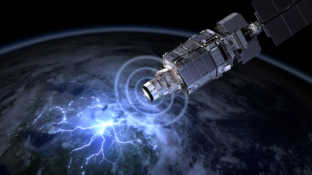
The Meteosat Third Generation Lightning Imager detected 87.4% of the flashes recorded by a global reference network across its field of view from July 2024 through December 2025, according to an 18-month performance assessment by EUMETSAT researchers and their collaborators. The satellite instrument detected about 95% of flashes at night but fell to roughly 70% during daylight, illustrating how solar illumination affects its ability to recognize faint optical signatures. Across the full observing region, only 0.16% of the more than 902 million disseminated flashes were classified as false. These figures are upper-limit estimates because both the satellite instrument and its reference systems can miss weak lightning, but they show that a single geostationary platform can provide extensive, nearly continuous coverage of electrical activity inside thunderstorm clouds.
MTG-LI is the first European geostationary lightning imager and is carried by the first Meteosat Third Generation Imaging satellite, launched on 13 December 2022. It observes Europe, Africa, the Middle East, the Atlantic and Indian oceans, and parts of South America using four cameras. Together, they cover about 84% of Earth’s disk as seen from geostationary orbit, extending to latitudes of 80 degrees north and south. Near the sub-satellite point at 0 degrees longitude, spatial sampling is about 4.5 km, while the field of view is divided into North, South, East and West sectors. Four MTG-LI instruments are to be deployed between 2022 and 2042.
Each camera images the Earth through a narrow 1.9-nanometre optical filter centered at 777.4 nanometres, the wavelength associated with lightning-excited neutral atomic oxygen emission. The instrument acquires 1,000 images per second with 1-millisecond exposures. A sudden rise in pixel radiance above a running-average background is initially recorded as a detected transient, but most such events are instrumental noise rather than lightning. Filters on board and on the ground remove signals caused by sensor noise, energetic particles, direct sunlight and reflections within the optics. EUMETSAT then groups adjacent transients captured in the same frame and combines groups occurring within 330 milliseconds and 16.5 km into flashes. The displayed time of a flash comes from its first group, while its position is calculated as the radiance-weighted centroid of all its groups.
The researchers evaluated MTG-LI against four lightning-location systems: Vaisala’s GLD360, the European Cooperation for Lightning Detection network, EUCLID, and the Geostationary Lightning Mappers on NOAA’s GOES-16 and GOES-19 satellites. GLD360 served as the principal reference because it covers the entire MTG-LI field of view, while EUCLID supplied a complementary assessment over Europe and the two GOES instruments tested the overlapping Atlantic and South American region. A two-system Bayesian method estimated absolute flash detection efficiency from conditional matches between each pair of systems. MTG-LI observations were first corrected for parallax and the roughly 120–150 milliseconds required for light to travel from clouds to the satellite, allowing a fair comparison with ground-based measurements.
GLD360 comparisons showed that detection efficiency was generally high and spatially uniform over most of the field of view. It exceeded 90% across Africa and ranged from 80% to 90% across much of Europe. Performance declined toward the outer edges, where satellites view cloud tops at increasingly oblique angles. Along a north–south transect extending from Africa to northern Scandinavia, efficiency fell from above 90% to about 73% at 70 degrees north, although the regional average remained 93.6%. The west-to-east transect showed a steeper decline, from about 95% near the sub-satellite longitude to around 40% at 75 degrees west, with an average of 67.6% in a region dominated by lightning over South America. The uneven east–west pattern remains unexplained, although the researchers considered differences in cloud brightness, storm size and viewing geometry as possible influences.
Daylight produced the clearest limitation. Flash detection efficiency was approximately 90–95% under low or absent illumination and reached a minimum of about 75% at local noon. Bright clouds raise the background radiance and therefore the threshold that an optical transient must exceed, allowing weaker discharges to pass unnoticed. The effect is partly moderated because the diurnal peak in lightning generally arrives at 16:00–17:00 local time, when efficiency has recovered to roughly 80–85%. A separate comparison with EUCLID produced a similar day-night cycle. Within EUCLID’s official European coverage area, the estimated absolute efficiency was 84.7%, generally agreeing with the GLD360-based map while revealing some flashes missed by MTG-LI in central Europe. The authors attributed these cases to small discharges inside optically thick clouds that produced weak cloud-top emissions.
Timing was especially strong, with MTG-LI matching lightning to within one millisecond throughout the reference period, apart from brief conversion errors between onboard time and coordinated universal time. Location accuracy depended on geography and time. Against GLD360, absolute errors were generally 10–15 km, with a full-field mean of 11.7 km; they ranged from 8.7 km at 12:00 UTC to more than 13 km at night. EUCLID-based estimates over Europe were better, varying from 7.1 to 11.6 km and declining from north to south: hourly errors ranged from 11.7 to 20.0 km in Finland but only 5.7 to 12.1 km in Spain. Errors worsened toward the edge of the field of view, where oblique viewing increases the importance of an assumed cloud-top height. Nighttime location estimates also degraded when the navigation system had fewer illuminated landmarks for image registration.
The false-flash analysis used GLD360 detections to map regions of storm activity on a 0.1-degree grid, then classified MTG-LI flashes outside those expanded regions as false. Across the entire field of view, the average flash false-alarm rate was 0.03 flash per second and rarely exceeded 0.5 flash per second. Of 902,716,484 detected flashes, 1,427,759 were classified as false, giving the reported 0.16% fraction. False detections were rare over Europe but more frequent over Africa and the tropical Atlantic. Distinct patterns in the accumulation map traced instrumental causes: parallel features over the tropics were associated with elevated readout noise in one camera, particularly over dark ocean scenes, while several elongated tracks were linked to space debris passing between the satellite and Earth. Brief increases associated with direct sunlight, solar glint and unusual observing conditions were also identified.
Comparison with NOAA’s geostationary lightning mappers produced lower values because the overlap region includes South America, where MTG-LI’s viewing geometry is less favorable and lightning is abundant. Estimated efficiency was 67.4% against GOES-16 from July 2024 to March 2025 and 56.1% against GOES-19 from April to December 2025, for a combined value of 61.8% across the full 18 months. Reversing the calculation indicated that GOES-19 detected 93.8% of MTG-LI flashes, compared with 85.8% for GOES-16, suggesting that operational configuration rather than instrument generation may explain much of the difference. The result does not show that MTG-LI was globally less effective than GOES: the lower number primarily reflects the edge of MTG-LI’s field of view and the concentration of strong South American lightning within the overlap. The comparison nevertheless helps determine how satellite flash detections can be combined without treating the two systems as interchangeable.
For weather monitoring, the results indicate particular value over Africa, where lightning activity is intense and radar coverage is sparse. MTG-LI’s estimated efficiency above 90% across much of the continent provides a consistent hemispheric view of storms across land and ocean, complementing rather than replacing ground networks. In Europe, its high sensitivity to in-cloud lightning could be combined with the precise cloud-to-ground locations supplied by EUCLID. Important limits remain: the efficiency figures are upper bounds because weak flashes may escape every instrument, cloud-top height estimates introduce parallax errors, and the location assessment depends partly on the accuracy and assumptions of the reference networks. The study nevertheless establishes MTG-LI as a technically capable platform for tracking the development, evolution and severity of thunderstorms, with near-continuous day-night detection, millisecond timing and an exceptionally small false-flash fraction across an ocean-to-continent observing domain.
Subject of Research: Performance assessment of the Meteosat Third Generation Lightning Imager against four lightning-location systems from July 2024 to December 2025
Article Title: Meteosat Third Generation Lightning Imager detection performances
Article References: Viticchié, B., Enno, S.-E., Navia, D., Avbelj, J., & Grandell, J. (2026). Meteosat Third Generation Lightning Imager detection performances. Atmospheric Measurement Techniques, 19(20), 6625-6642. https://doi.org/10.5194/amt-19-6625-2026
Image Credits: AI Generated
Keywords: Meteosat Third Generation, MTG-LI, lightning detection, geostationary satellite, thunderstorms, EUMETSAT, GLD360, EUCLID, GOES lightning mappers, weather monitoring, Meteosat, Third
News Source: Caitlin Barrett. (October 20, 2026). Meteosat Third Generation Lightning Imager detection performances. Scienmag.