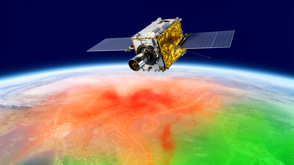
Nitrogen oxides, the reactive family of gases known collectively as NOx, sit at the center of some of the world’s most stubborn air quality problems. In the atmosphere they fuel the formation of ground-level ozone and secondary particulate matter, and long-term exposure is linked to respiratory and cardiovascular mortality. In Thailand, the stakes are stark: a previous national burden-of-disease assessment attributed roughly ten percent of adult mortality in 2009 to nitrogen dioxide exposure alone. Yet the emission inventories that feed the country’s air quality models are updated only infrequently, forcing researchers to rely on global datasets whose emission factors, activity data, and coarse temporal resolution carry substantial uncertainty. A new study published in Atmospheric Chemistry and Physics now demonstrates how a geostationary satellite can close that gap, offering near-real-time constraints on NOx emissions across Thailand.
The research, led by Worapop Thongsame of the University of Colorado Boulder and the National Astronomical Research Institute of Thailand, together with colleagues at the NSF National Center for Atmospheric Research, turned to the Geostationary Environment Monitoring Spectrometer, or GEMS. Launched in February 2020 aboard a geostationary satellite, GEMS stares continuously at Asia from an orbit that keeps it fixed above the same longitude, measuring back-scattered sunlight in the 300 to 500 nanometer range. Unlike low Earth orbit instruments that pass over a location once or twice a day, GEMS delivers up to ten consecutive hourly snapshots of tropospheric nitrogen dioxide columns during daylight, with a pixel resolution of roughly 3.5 by 8 kilometers. That temporal cadence is precisely what short-lived, spatially heterogeneous pollutants like NOx demand.
To convert satellite columns into emission estimates, the team employed an iterative finite difference mass balance method, or IFDMB, coupled with the WRF-Chem chemical transport model running at 9 by 9 kilometer resolution. The approach rests on a Bayesian cost function that balances the mismatch between observed and simulated nitrogen dioxide columns against departures from the prior emission inventory, which in this case was the CAMS-GLOB-ANT v5.3 global dataset. Regularization terms prevent the inversion from overfitting noisy satellite retrievals or underfitting in background regions where emissions approach zero. Because nitrogen dioxide’s lifetime spans several hours and the gas can drift into neighboring grid cells, the researchers regridded both satellite and model data to a coarser 45 by 45 kilometer resolution and used monthly averages to suppress smearing errors, then iterated the update until the cost function was minimized.
The baseline simulation told a striking story. Compared with GEMS observations for September 2023, a month deliberately chosen for its minimal biomass burning, the prior inventory dramatically overestimated nitrogen dioxide columns across most of Thailand. Nationally averaged, the normalized mean bias reached 83.52 percent, and in the Bangkok Metropolitan Region it ballooned to 278.67 percent, even though the spatial correlation there was exceptionally strong at 0.96. The mismatch revealed a structural flaw: CAMS-GLOB-ANT emphasizes energy and industrial sources, painting the Mae Moh coal power plant and the industrial estates of Rayong and Saraburi as dominant, while GEMS instead highlighted urban centers such as Bangkok, Chiang Mai, and Lampang, where residential and transportation emissions prevail.
Applying the IFDMB inversion corrected much of this distortion. Under the fixed diurnal scheme, which applies a single monthly scaling factor at every hour of the day, national NOx emissions fell from a baseline of 35,852 megagrams per month to 25,994 megagrams per month. Excluding North Thailand, the drop was even sharper, from 30,699 to 15,376 megagrams per month. Emissions declined by roughly 30 moles per square kilometer per hour across Bangkok, Central, and East Thailand, while rising by about 20 moles per square kilometer per hour in the North and West. When evaluated against GEMS, the fixed diurnal update cut the normalized mean bias and error by about sixty percent and lifted the spatial correlation from 0.65 to 0.84.
But the North told a more troubling story, and it is here that the study delivers its most consequential warning. GEMS reported substantially higher nitrogen dioxide over Lampang than TROPOMI, the high-resolution instrument aboard the Sentinel-5P satellite, ever observed, with GEMS values over the Lampang urban area even exceeding those over Bangkok. The team traced the discrepancy not to a genuine emission underestimate but to a retrieval artifact: GEMS version 3 relies on a priori profiles from the GEOS-Chem model driven by the ASIA-AQv3 emission inventory, which reports anomalously high NOx in Lampang. An alternative GEMS retrieval using direct vertical column fitting produces far lower values in line with TROPOMI. Because North Thailand accounts for roughly fourteen percent of national NOx emissions, this retrieval uncertainty propagated into a ten to twenty percent swing in the national posterior totals.
The consequences of that artifact became clear when the updated emissions were tested against TROPOMI. In most of the country the inversion worked beautifully: in the Bangkok Metropolitan Region, the fixed diurnal and temporal average schemes reduced the normalized mean bias by 83 and 81 percent respectively, and the normalized root mean square error by 76 and 61 percent. In North Thailand, however, the GEMS-driven increase in emissions worsened agreement with TROPOMI, degrading the national correlation to about 0.61. The lesson is not that geostationary satellites fail, but that satellite retrievals are only as good as the a priori assumptions embedded within them, and that cross-calibration between instruments remains essential before satellite-informed emissions can be trusted blindly.
Ground truth from Thailand’s Pollution Control Department added a further layer of nuance. The baseline model underestimated nitrogen oxides by ten to fifteen parts per billion at fourteen roadside stations throughout the day, a gap the satellite-informed updates actually widened, because GEMS and the regridded model cannot resolve the hyperlocal traffic plumes that dominate those measurement sites. More intriguingly, the observations peaked near 08:00 local time during the morning rush hour, while the model peaked between 06:00 and 07:00 and ran too high at night. The daylight diurnal and temporal average update schemes, which use hourly GEMS data to reshape emission profiles region by region, captured some of the observed afternoon variability and nudged the morning correlation upward, though they could not reproduce the rush-hour peak itself, since GEMS viewing geometries are least favorable in the early morning and late afternoon.
Those trade-offs shaped the team’s practical recommendations. For national or monthly-scale applications where spatial accuracy matters most, the fixed diurnal update is the clear winner, delivering the largest bias reductions and the only scheme able to adjust nighttime emissions. For studies focused on daytime diurnal variability, the daylight diurnal scheme is preferred for its simplicity and its ability to tailor profiles region by region, provided smoothing is applied to avoid artificial jumps at the edges of the GEMS observation window. The authors also note that the regularization parameter governing the weight given to satellite observations proved far more influential than the one governing prior emissions, and that spatially varying parameters, tightened where retrieval uncertainty is high and loosened over well-observed cities, could further improve performance.
What emerges is both a proof of concept and a cautionary tale. GEMS has shown, for the first time at national scale over Thailand, that geostationary observations can constrain anthropogenic NOx emissions quickly and cheaply, correcting inventory biases that would otherwise poison ozone and aerosol forecasts. At the same time, the Lampang episode demonstrates that retrieval algorithms, a priori profiles, and inter-satellite consistency are not technical footnotes but first-order determinants of the answer. With only a single Pandora spectrometer operating in Bangkok in 2023, independent validation over Thailand remains scarce. The authors recommend fusing GEMS with TROPOMI, surface stations, and data from the recent ASIA-AQ aircraft campaign, and eventually incorporating nighttime-sensitive instruments, to build emission estimates robust enough to guide the mitigation policies on which Thai lungs depend.
Subject of Research: Satellite-based top-down constraints on nitrogen oxide emissions in Thailand using GEMS geostationary observations
Article Title: Constraints on NOx emission in Thailand using GEMS satellite data
Article References: Thongsame, W., Henze, D. K., Pfister, G., Kumar, R., & Barth, M. (2026). Constraints on NO x emission in Thailand using GEMS satellite data. Atmospheric Chemistry and Physics, 26(19), 14051-14072. https://doi.org/10.5194/acp-26-14051-2026
Image Credits: AI Generated
DOI: 10.5194/acp-26-14051-2026
Keywords: GEMS, NOx emissions, Thailand, air quality, satellite remote sensing, TROPOMI, WRF-Chem, nitrogen dioxide, mass balance inversion, geostationary satellite, emission inventory, Bangkok
News Source: Russell Cooper. (October 8, 2026). Geostationary Satellite GEMS Reshapes Thailand’s NOx Emission Map. Scienmag.