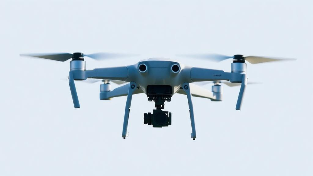
Drones hovering over crowded city streets face one of the hardest problems in computer vision: spotting tiny, tightly packed objects—cars, pedestrians, bicycles—while flying at speed and mapping what they see onto a real-world coordinate system. A new study published in Discover Artificial Intelligence by Yang Gao, Congwei Liu, and Xiangyu Han of Handan University tackles both challenges at once, presenting a unified framework that couples an enhanced YOLOv7 detector with graph attention network reasoning and a lightweight spatial projection branch. The result is a system that not only detects more of the small targets that conventional detectors routinely miss, but also projects those detections onto a global map with measurably lower error, all while sustaining real-time performance on a single consumer GPU.
The core problem the researchers set out to solve is well known to anyone working with aerial imagery. Single-stage detectors from the YOLO family are prized for their inference speed, which makes them attractive for onboard drone processing, but their repeated downsampling operations tend to suppress the weak spatial responses produced by dense, small objects. In a typical urban scene captured from altitude, a vehicle or pedestrian may occupy only a handful of pixels and may be partially occluded by neighboring objects. When a detector evaluates each candidate in isolation, it cannot exploit the spatial arrangement or semantic compatibility of surrounding objects to resolve ambiguous features. The authors identify this absence of candidate-level context exchange within an efficient detector as the specific research gap their framework addresses, rather than simply weak multi-scale representation.
Their solution unfolds in three coordinated stages. First, the YOLOv7 backbone is fortified with a set of feature-enhancement modules chosen specifically to preserve small-object cues. SPD-Conv is inserted at the early downsampling stage, where it rearranges local spatial information into the channel dimension instead of discarding it through strided convolution, keeping fine-grained detail alive before compression begins. Coordinate Attention, applied after the E-ELAN feature extraction block, jointly encodes channel dependency and directional position information by pooling along the horizontal and vertical axes, allowing the network to focus precisely on target areas while suppressing background noise. SimAM, a parameter-free attention mechanism, recalibrates salient neurons after the major backbone stages by estimating neuron importance through an energy function, sharpening the contrast between small targets and complex backgrounds without adding trainable parameters.
The second enhancement concerns how features at different scales are combined. A Bidirectional Feature Pyramid Network, or BiFPN, replaces the conventional feature pyramid in the detector’s neck, fusing the P3, P4, and P5 feature maps with learnable weights along both top-down and bottom-up pathways. This bidirectional flow lets shallow layers rich in localization detail exchange information with deeper layers carrying semantic context, a combination that proves especially valuable when targets span a wide range of apparent sizes. Together, these four modules—SPD-Conv, Coordinate Attention, SimAM, and BiFPN—form the enhanced detection front end that feeds the framework’s more distinctive component: graph-based relational reasoning.
That component treats retained candidate detections as nodes in a sparse graph. After confidence filtering and non-maximum suppression, each surviving candidate region contributes a node containing its fused feature vector, bounding-box center, and category-confidence context. Edges connect nodes whose bounding-box centers lie within a distance threshold, with weights derived from the cosine similarity between feature vectors and gated by an indicator function enforcing local connectivity. A graph attention network then propagates information across this structure, using learnable attention coefficients to decide how much each neighbor should influence each node. Multi-head attention stabilizes training by concatenating outputs from several attention heads, each aggregating complementary contextual cues from different representation subspaces. After several layers of propagation, the graph-enriched features are projected back to the detector’s feature dimension and fused with the original candidate features through a residual connection followed by layer normalization, a design intended to mitigate over-smoothing.
Crucially, the graph is kept computationally tractable. A fully connected graph over hundreds of candidates in a dense urban frame would incur quadratic cost, so the authors sparsify it using a joint top-k and distance-threshold strategy: neighbors must satisfy the spatial threshold and are then ranked by joint spatial-feature relevance, with only the top eight retained per node. This reduces construction cost from O(N²) to approximately O(Nk), keeping computation proportional to the retained candidate set. Training is driven by a composite loss combining CIoU bounding-box regression, Focal Loss for classification with parameters fixed at 0.25 and 2.0, and a graph-consistency regularization term that encourages connected nodes to develop similar feature representations. The graph term is deliberately down-weighted at 0.1, serving as an auxiliary regularizer, and the coefficients were fixed after preliminary validation runs monitoring loss magnitudes, validation mAP, and convergence stability.
The third stage closes the loop between perception and geography. Rather than the traditional detect-first, locate-later workflow that accumulates delays, the framework synchronizes video frames with GPS and IMU metadata and runs two coordinated branches in parallel. The detection branch outputs object classes and refined image coordinates, while the mapping branch estimates camera pose from attitude and position data. Using a pinhole camera model, detected pixel coordinates are projected into world coordinates, with the missing depth information recovered from the drone’s altitude sensor and gimbal pitch angle under a locally flat ground assumption. Projected points are then smoothed across frames to generate a dynamic semantic map. Notably, the spatial reprojection error is used only for calibration and validation, not backpropagated through the detector, so the system should be understood as an integrated inference pipeline rather than a fully end-to-end optimized detection-and-mapping model.
The experimental results, obtained on the VisDrone2019 and UAVDT benchmarks with images resized to 640 by 640, are striking. The proposed YOLOv7-GAT framework achieves 42.6 percent [email protected] and 25.8 percent [email protected]:0.95 on VisDrone2019, gains of 4.8 and 4.2 percentage points over the YOLOv7 baseline, while sustaining 65 frames per second on an NVIDIA RTX 3090 at batch size one. Confusion-matrix analysis reveals where the improvements concentrate: recall for pedestrians rises from 0.65 to 0.87, for people from 0.65 to 0.89, and for bicycles from 0.76 to 0.92. Inter-class confusion drops sharply as well, with pedestrian-to-people misclassification falling from 13 to 6 percent and tricycle-to-awning-tricycle errors falling from 14 to 6 percent. An ablation study confirms that each module contributes positively, with BiFPN delivering the largest fusion gain and the GAT module supplying additional contextual reasoning for ambiguous targets after candidate formation.
The mapping branch shows consistent benefits too. Across three tested scenario-altitude combinations on campus road, crossroad, and park settings, the corrected projection branch reduces root mean square error relative to traditional geometric projection, with most localization deviations falling below three pixels and axis-aligned errors remaining within roughly half a meter. Visualizations of the learned graph connectivity show dense urban scenes producing strong merged connectivity fields while sparse highway scenes form isolated local interaction regions, supporting the module’s adaptive behavior. The authors are candid about limitations: the flat-ground assumption degrades over rapidly changing terrain, low illumination reduces detection confidence, the fixed graph thresholds may limit adaptability in extreme scenes, and the 65 FPS figure applies only to the reported GPU configuration, with no edge-device benchmark yet performed.
Even with those caveats, the study offers a compelling demonstration that context is a resource detectors can learn to spend wisely. By letting each candidate consult its neighbors before committing to a prediction, and by folding mapping into the same pipeline rather than bolting it on afterward, the framework points toward drone systems that understand not just what they see but where it is—accurately, quickly, and within a single coherent architecture. The authors’ stated next steps, including adaptive graph construction, benchmarking against recent DETR-style detectors, multi-sensor fusion with LiDAR, RTK-GPS, or digital elevation data, and lightweight deployment through graph pruning and quantization, suggest this integrated detection-and-mapping paradigm is only beginning to take flight.
Subject of Research: A UAV object detection and spatial mapping framework integrating enhanced YOLOv7 with graph attention networks
Article Title: A UAV object detection and spatial mapping framework integrating enhanced YOLOv7 with graph attention networks
Article References: Gao, Y., Liu, C., & Han, X. (2026). A UAV object detection and spatial mapping framework integrating enhanced YOLOv7 with graph attention networks. Discover Artificial Intelligence, 6(1), Article 1339. https://doi.org/10.1007/s44163-026-02004-6
Image Credits: AI Generated
DOI: 10.1007/s44163-026-02004-6
Keywords: UAV, object detection, YOLOv7, graph attention networks, spatial mapping, computer vision, VisDrone2019, small-object detection, real-time processing, deep learning, feature fusion, drone imagery
News Source: Blake Davidson. (October 5, 2026). Drones Get Smarter: Graph Attention Networks Boost Real-Time Aerial Object Detection. Scienmag.